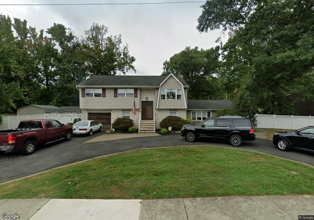
132 Center Ave Leonardo, NJ 07737
Estimated Value: $696,000 - $765,148
4
Beds
2
Baths
2,404
Sq Ft
$305/Sq Ft
Est. Value
About This Home
This home is located at 132 Center Ave, Leonardo, NJ 07737 and is currently estimated at $733,037, approximately $304 per square foot. 132 Center Ave is a home located in Monmouth County with nearby schools including Leonardo Elementary School, Bayshore Middle School, and Middletown - South High School.
Ownership History
Date
Name
Owned For
Owner Type
Purchase Details
Closed on
Aug 23, 2013
Sold by
Miele Valentine and Miele Barbara
Bought by
Miele Joseph P and Miele Camille
Current Estimated Value
Home Financials for this Owner
Home Financials are based on the most recent Mortgage that was taken out on this home.
Original Mortgage
$310,000
Interest Rate
1%
Mortgage Type
Purchase Money Mortgage
Create a Home Valuation Report for This Property
The Home Valuation Report is an in-depth analysis detailing your home's value as well as a comparison with similar homes in the area
Home Values in the Area
Average Home Value in this Area
Purchase History
| Date | Buyer | Sale Price | Title Company |
|---|---|---|---|
| Miele Joseph P | $310,000 | None Available |
Source: Public Records
Mortgage History
| Date | Status | Borrower | Loan Amount |
|---|---|---|---|
| Closed | Miele Joseph P | $310,000 |
Source: Public Records
Tax History Compared to Growth
Tax History
| Year | Tax Paid | Tax Assessment Tax Assessment Total Assessment is a certain percentage of the fair market value that is determined by local assessors to be the total taxable value of land and additions on the property. | Land | Improvement |
|---|---|---|---|---|
| 2025 | $11,077 | $790,100 | $430,000 | $360,100 |
| 2024 | $10,306 | $673,400 | $319,900 | $353,500 |
| 2023 | $10,306 | $593,000 | $291,000 | $302,000 |
| 2022 | $10,023 | $529,200 | $239,500 | $289,700 |
| 2021 | $10,023 | $483,300 | $235,900 | $247,400 |
| 2020 | $9,373 | $438,400 | $193,400 | $245,000 |
| 2019 | $8,858 | $419,400 | $191,000 | $228,400 |
| 2018 | $9,400 | $433,800 | $188,800 | $245,000 |
| 2017 | $9,332 | $426,300 | $188,800 | $237,500 |
| 2016 | $8,157 | $382,800 | $188,800 | $194,000 |
| 2015 | $8,417 | $381,400 | $188,800 | $192,600 |
| 2014 | $8,255 | $364,800 | $188,800 | $176,000 |
Source: Public Records
Map
Nearby Homes
- 86 Washington Ave
- 59 Florence Ave
- 28 Florence Ave
- 43 Washington Ave
- 786 Leonardville Rd
- 46 Highland Ave
- 17 Washington Ave
- 149 9th St
- 46 Hosford Ave
- 310 East Rd
- 135 Railroad Ave
- 13 Brant Dr Unit Lot 5.09
- 16 Brant Dr Unit Lot 5.08
- 10 Brant Dr Unit Lot 5.05
- 5 Brant Dr Unit Lot 5.13
- 79 Compton St Unit A & B
- 573 Sumner Ave
- 7 Brant Dr Unit Lot 5.12
- 4 Brant Dr Unit Lot 5.02
- 672 Hopping Rd
- 136 Center Ave
- 128 Center Ave
- 121 Hamilton Ave
- 119 Hamilton Ave
- 123 Hamilton Ave
- 502 Broadway
- 117 Hamilton Ave
- 129 Center Ave
- 439 Cedar Ave
- 115 Hamilton Ave
- 125 Center Ave
- 126 Center Ave
- 113 Hamilton Ave
- 452 Monmouth Ave
- 123 Center Ave
- 450 Monmouth Ave
- 448 Monmouth Ave
- 466 Monmouth Ave
- 437 Cedar Ave
- 446 Monmouth Ave