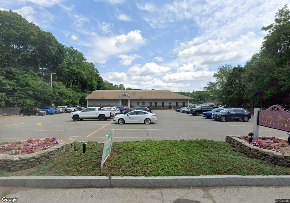
132 Central St Unit 113-115 Foxboro, MA 02035
--
Bed
--
Bath
3,457
Sq Ft
--
Built
About This Home
This home is located at 132 Central St Unit 113-115, Foxboro, MA 02035. 132 Central St Unit 113-115 is a home located in Norfolk County with nearby schools including Foxborough High School, Foxborough Regional Charter School, and The Sage School.
Ownership History
Date
Name
Owned For
Owner Type
Purchase Details
Closed on
May 16, 2018
Sold by
K & H Realty Corp
Bought by
Fxpeds Realty Llc
Home Financials for this Owner
Home Financials are based on the most recent Mortgage that was taken out on this home.
Original Mortgage
$326,400
Outstanding Balance
$281,041
Interest Rate
4.4%
Mortgage Type
Commercial
Purchase Details
Closed on
Oct 13, 1987
Sold by
Dunn Tr Joyce A
Bought by
K & H Realty Corp
Home Financials for this Owner
Home Financials are based on the most recent Mortgage that was taken out on this home.
Original Mortgage
$320,000
Interest Rate
10.33%
Mortgage Type
Commercial
Create a Home Valuation Report for This Property
The Home Valuation Report is an in-depth analysis detailing your home's value as well as a comparison with similar homes in the area
Home Values in the Area
Average Home Value in this Area
Purchase History
| Date | Buyer | Sale Price | Title Company |
|---|---|---|---|
| Fxpeds Realty Llc | $408,000 | -- | |
| K & H Realty Corp | $340,500 | -- |
Source: Public Records
Mortgage History
| Date | Status | Borrower | Loan Amount |
|---|---|---|---|
| Open | Fxpeds Realty Llc | $326,400 | |
| Previous Owner | K & H Realty Corp | $320,000 |
Source: Public Records
Tax History Compared to Growth
Tax History
| Year | Tax Paid | Tax Assessment Tax Assessment Total Assessment is a certain percentage of the fair market value that is determined by local assessors to be the total taxable value of land and additions on the property. | Land | Improvement |
|---|---|---|---|---|
| 2025 | $4,172 | $241,300 | $0 | $241,300 |
| 2024 | $4,226 | $234,900 | $0 | $234,900 |
| 2023 | $4,231 | $230,300 | $0 | $230,300 |
| 2022 | $4,339 | $230,300 | $0 | $230,300 |
| 2021 | $4,314 | $230,300 | $0 | $230,300 |
| 2020 | $3,841 | $207,300 | $0 | $207,300 |
| 2019 | $3,697 | $198,000 | $0 | $198,000 |
| 2018 | $3,594 | $198,000 | $0 | $198,000 |
| 2017 | $3,392 | $198,000 | $0 | $198,000 |
| 2016 | $3,502 | $198,400 | $0 | $198,400 |
| 2015 | $3,462 | $197,600 | $0 | $197,600 |
| 2014 | $3,377 | $197,600 | $0 | $197,600 |
Source: Public Records
Map
Nearby Homes
- 11 W Belcher Rd Unit 2
- 84 Cocasset St Unit A6
- 18 Winter St Unit E
- 14 Winter St Unit B
- 24 Mechanic St
- 14 Baker St
- 11 Orchard Place Unit 11
- 14 Foxhill Rd
- 12 Spring St
- 356 Central St
- 1 Eisenhauer Ln
- 80 Mill St
- 186 Mechanic St
- 73 Ridge Rd
- 9 Independence Dr Unit 9
- 35 Independence Dr Unit 35
- 132 Cannon Forge Dr
- 619 N Main St
- 170 Cannon Forge Dr
- 277 Central St
- 132 Central St Unit 113
- 132 Central St Unit 208
- 132 Central St Unit 216
- 132 Central St Unit 209
- 132 Central St Unit 106
- 132 Central St Unit 215
- 132 Central St Unit 200
- 132 Central St Unit 203
- 132 Central St Unit 214
- 132 Central St Unit 210-212
- 132 Central St Unit 212
- 132 Central St Unit 210
- 132 Central St Unit 202
- 132 Central St Unit 108 & 110
- 132 Central St Unit 2
- 132 Central St Unit 102
- 132 Central St Unit 207
- 132 Central St Unit 205
- 132 Central St Unit 107D
- 132 Central St Unit 107A