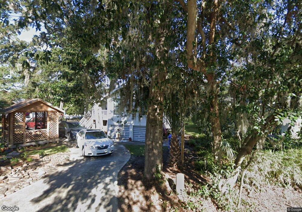
132 Circle Dr Saint Simons Island, GA 31522
Estimated Value: $567,000 - $1,014,000
2
Beds
1
Bath
1,848
Sq Ft
$434/Sq Ft
Est. Value
About This Home
This home is located at 132 Circle Dr, Saint Simons Island, GA 31522 and is currently estimated at $801,376, approximately $433 per square foot. 132 Circle Dr is a home located in Glynn County with nearby schools including Oglethorpe Point Elementary School, Glynn Middle School, and Glynn Academy.
Ownership History
Date
Name
Owned For
Owner Type
Purchase Details
Closed on
Dec 4, 2015
Sold by
Hritz Gail Scarboro
Bought by
Scarboro Zachary Smith and Scarboro Kristin Rhea
Current Estimated Value
Home Financials for this Owner
Home Financials are based on the most recent Mortgage that was taken out on this home.
Original Mortgage
$200,000
Outstanding Balance
$173,882
Interest Rate
3.91%
Mortgage Type
New Conventional
Estimated Equity
$627,494
Create a Home Valuation Report for This Property
The Home Valuation Report is an in-depth analysis detailing your home's value as well as a comparison with similar homes in the area
Home Values in the Area
Average Home Value in this Area
Purchase History
| Date | Buyer | Sale Price | Title Company |
|---|---|---|---|
| Scarboro Zachary Smith | $256,000 | -- |
Source: Public Records
Mortgage History
| Date | Status | Borrower | Loan Amount |
|---|---|---|---|
| Open | Scarboro Zachary Smith | $200,000 |
Source: Public Records
Tax History Compared to Growth
Tax History
| Year | Tax Paid | Tax Assessment Tax Assessment Total Assessment is a certain percentage of the fair market value that is determined by local assessors to be the total taxable value of land and additions on the property. | Land | Improvement |
|---|---|---|---|---|
| 2025 | $7,017 | $279,800 | $92,000 | $187,800 |
| 2024 | $6,869 | $273,880 | $92,000 | $181,880 |
| 2023 | $2,493 | $273,880 | $92,000 | $181,880 |
| 2022 | $2,933 | $222,240 | $92,000 | $130,240 |
| 2021 | $3,020 | $217,920 | $92,000 | $125,920 |
| 2020 | $3,047 | $162,720 | $36,800 | $125,920 |
| 2019 | $3,047 | $162,720 | $36,800 | $125,920 |
| 2018 | $3,047 | $162,720 | $36,800 | $125,920 |
| 2017 | $2,667 | $131,520 | $36,800 | $94,720 |
| 2016 | $2,583 | $117,120 | $36,800 | $80,320 |
| 2015 | $2,084 | $81,240 | $36,800 | $44,440 |
| 2014 | $2,084 | $85,880 | $41,440 | $44,440 |
Source: Public Records
Map
Nearby Homes
- 122 Robertson Cir
- 136 W Point Pkwy
- 126 Point Ln
- 123 Plemmons Dr
- 437 Mimosa Dr
- 413 Mimosa Dr
- 125 E Commons Dr
- 521 Clement Cir
- 317 Commons Rd
- 134 Telford Ln
- 106 Telford Ln
- 171 W Commons Dr
- 103 Bellrain Ln
- 2002 Sea Palms West Dr
- 2203 Grand View Dr
- 1207 Grand View Dr
- 101 N Cottages Dr
- 5725 Frederica & 1 43 Ac Frederica Rd
- 339 Pikes Bluff Dr
- 896 Wimbledon Dr
- 132 Robertson Cir
- 136 Robertson Cir
- 140 Robertson Cir
- 126 Robertson Cir
- 121 Robertson Cir
- 103 Calwell St
- 105 Calwell St
- 109 Calwell St
- 115 Robertson Cir
- 106 Wall St
- 108 Wall St
- 113 Calwell St
- 118 Circle Dr
- 118 Robertson Cir
- 112 Wall St
- 150 Robertson Cir
- 117 Calwell St
- 105 Wall St
- 111 Wall St
- 114 Robertson Cir