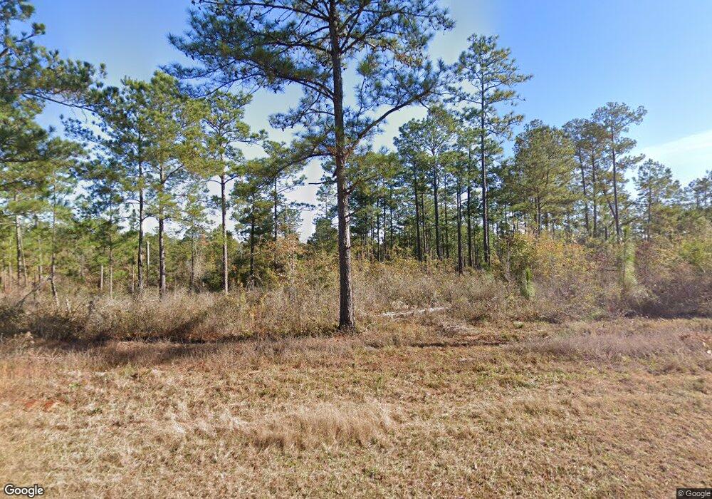
132 Corps Airport Rd Bainbridge, GA 39819
Estimated Value: $180,000 - $210,000
--
Bed
1
Bath
1,371
Sq Ft
$142/Sq Ft
Est. Value
About This Home
This home is located at 132 Corps Airport Rd, Bainbridge, GA 39819 and is currently estimated at $194,368, approximately $141 per square foot. 132 Corps Airport Rd is a home located in Decatur County with nearby schools including Bainbridge High School.
Ownership History
Date
Name
Owned For
Owner Type
Purchase Details
Closed on
Jun 28, 2007
Sold by
Jester C B
Bought by
Chase Home Finance Llc
Current Estimated Value
Purchase Details
Closed on
Nov 16, 2006
Sold by
Sec Of Housing & U
Bought by
Alford Feddy E
Home Financials for this Owner
Home Financials are based on the most recent Mortgage that was taken out on this home.
Original Mortgage
$75,000
Interest Rate
6.33%
Mortgage Type
New Conventional
Purchase Details
Closed on
Jan 3, 2006
Sold by
Chase Home Finance Llc
Bought by
Sec Of Housing & Urban
Create a Home Valuation Report for This Property
The Home Valuation Report is an in-depth analysis detailing your home's value as well as a comparison with similar homes in the area
Home Values in the Area
Average Home Value in this Area
Purchase History
| Date | Buyer | Sale Price | Title Company |
|---|---|---|---|
| Chase Home Finance Llc | -- | -- | |
| Alford Feddy E | $70,419 | -- | |
| Sec Of Housing & Urban | $69,401 | -- | |
| Chase Home Finance Llc | $69,401 | -- |
Source: Public Records
Mortgage History
| Date | Status | Borrower | Loan Amount |
|---|---|---|---|
| Previous Owner | Alford Feddy E | $75,000 |
Source: Public Records
Tax History Compared to Growth
Tax History
| Year | Tax Paid | Tax Assessment Tax Assessment Total Assessment is a certain percentage of the fair market value that is determined by local assessors to be the total taxable value of land and additions on the property. | Land | Improvement |
|---|---|---|---|---|
| 2024 | $1,415 | $46,992 | $760 | $46,232 |
| 2023 | $1,415 | $46,992 | $760 | $46,232 |
| 2022 | $1,318 | $45,305 | $760 | $44,545 |
| 2021 | $1,142 | $38,536 | $760 | $37,776 |
| 2020 | $1,034 | $33,112 | $760 | $32,352 |
| 2019 | $949 | $29,250 | $722 | $28,528 |
| 2018 | $937 | $29,250 | $722 | $28,528 |
| 2017 | $918 | $29,250 | $722 | $28,528 |
| 2016 | $918 | $29,250 | $722 | $28,528 |
| 2015 | $930 | $29,250 | $722 | $28,528 |
| 2014 | $812 | $29,250 | $722 | $28,528 |
| 2013 | -- | $29,250 | $722 | $28,528 |
Source: Public Records
Map
Nearby Homes
- 00 Dell Rd
- 93 acres Dell Rd
- 1880 Booster Club Rd
- 1567 Booster Club Rd
- xxx Beardsley Dr
- 180 Hewett Bundy Rd
- 107 N Bolivar St
- 469 Lakeshore Dr
- Lot 10 Booster Club Rd
- Lot 12 Block A Mountain View Way
- Lot 13 Block A Mountain View Way
- Lot 19 A Hammock Cir Unit 22
- 312 W Marion St
- 121 Hickory St
- 404 High St
- 402 W Brent St
- 622 Gregory St
- 707 Morgan Ave
- 0000 Chattahoochee St
- 8153 Hill Dr
- 1 acre Corps Airport Rd
- 150 Corps Airport Rd
- 1709 Booster Club Rd
- 141 Mcleroy Rd
- 138 Mcleroy Rd
- 130 Mcleroy Rd
- 1739 Booster Club Rd
- 152 Mcleroy Rd
- 175 Corps Airport Rd
- 1759 Booster Club Rd
- 1691 Booster Club Rd
- 1760 Booster Club Rd
- 175 Mcleroy Rd
- 188 Corps Airport Rd
- 186 Mcleroy Rd
- 329 Dell Rd
- 325 Dell Rd
- 198 Mcleroy Rd
- 1798 Booster Club Rd
- 316 Dell Rd
