132 Cty Rd 892 Granby, CO 80446
Estimated Value: $1,213,000 - $1,535,000
3
Beds
4
Baths
4,007
Sq Ft
$336/Sq Ft
Est. Value
About This Home
This home is located at 132 Cty Rd 892, Granby, CO 80446 and is currently estimated at $1,348,352, approximately $336 per square foot. 132 Cty Rd 892 is a home located in Grand County with nearby schools including Middle Park High School and Indian Peaks Charter School.
Ownership History
Date
Name
Owned For
Owner Type
Purchase Details
Closed on
Jun 9, 2015
Sold by
Hadley Michael William and Hadley Robyn Denee
Bought by
Newell Cameron and Newell Carin
Current Estimated Value
Home Financials for this Owner
Home Financials are based on the most recent Mortgage that was taken out on this home.
Original Mortgage
$400,000
Outstanding Balance
$309,257
Interest Rate
3.7%
Mortgage Type
New Conventional
Estimated Equity
$1,039,095
Purchase Details
Closed on
Sep 20, 2012
Sold by
The Michael And Robyn Hadley Trust
Bought by
Hadley Michael William and Hadley Robyn Denise
Home Financials for this Owner
Home Financials are based on the most recent Mortgage that was taken out on this home.
Original Mortgage
$150,700
Interest Rate
3.62%
Mortgage Type
New Conventional
Purchase Details
Closed on
Jul 10, 2009
Sold by
Hadley Michael W and Hadley Robyn
Bought by
Trst Michael and Trst Robyn Hadley
Home Financials for this Owner
Home Financials are based on the most recent Mortgage that was taken out on this home.
Original Mortgage
$119,000
Interest Rate
5.44%
Mortgage Type
New Conventional
Purchase Details
Closed on
Jun 22, 2009
Sold by
The Michael And Robyn Hadley Trust
Bought by
Hadley Michael W and Hadley Robyn
Home Financials for this Owner
Home Financials are based on the most recent Mortgage that was taken out on this home.
Original Mortgage
$119,000
Interest Rate
5.44%
Mortgage Type
New Conventional
Create a Home Valuation Report for This Property
The Home Valuation Report is an in-depth analysis detailing your home's value as well as a comparison with similar homes in the area
Home Values in the Area
Average Home Value in this Area
Purchase History
| Date | Buyer | Sale Price | Title Company |
|---|---|---|---|
| Newell Cameron | $555,000 | Land Title Guarantee Company | |
| Hadley Michael William | -- | None Available | |
| Trst Michael | -- | None Available | |
| Hadley Michael W | -- | None Available |
Source: Public Records
Mortgage History
| Date | Status | Borrower | Loan Amount |
|---|---|---|---|
| Open | Newell Cameron | $400,000 | |
| Previous Owner | Hadley Michael William | $150,700 | |
| Previous Owner | Hadley Michael W | $119,000 |
Source: Public Records
Tax History Compared to Growth
Tax History
| Year | Tax Paid | Tax Assessment Tax Assessment Total Assessment is a certain percentage of the fair market value that is determined by local assessors to be the total taxable value of land and additions on the property. | Land | Improvement |
|---|---|---|---|---|
| 2024 | $5,454 | $86,480 | $5,650 | $80,830 |
| 2023 | $5,454 | $86,480 | $5,650 | $80,830 |
| 2022 | $4,097 | $61,490 | $1,740 | $59,750 |
| 2021 | $4,245 | $63,260 | $1,790 | $61,470 |
| 2020 | $3,231 | $54,720 | $1,040 | $53,680 |
| 2019 | $3,151 | $54,720 | $1,040 | $53,680 |
| 2018 | $2,398 | $40,110 | $760 | $39,350 |
| 2017 | $2,559 | $40,110 | $760 | $39,350 |
| 2016 | $2,553 | $42,440 | $800 | $41,640 |
| 2015 | $2,411 | $42,440 | $800 | $41,640 |
| 2014 | $2,411 | $39,830 | $0 | $39,830 |
| 2012 | $2,469 | $41,990 | $2,470 | $39,520 |
Source: Public Records
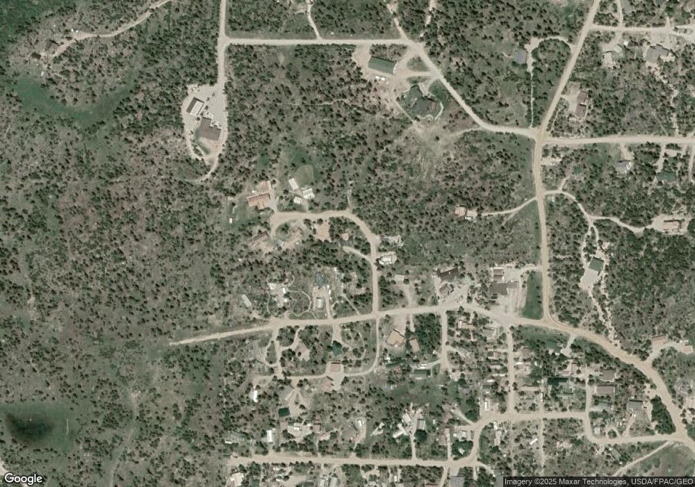
Map
Nearby Homes
- 658 Forrest Dr
- 985 Forrest Dr
- 985 Forrest Dr Unit 52
- 361 Beaver Dr
- 223 Indian Trail
- 114 Juniper Dr
- 225 Gcr 893
- 74 Gcr 895
- 300 Gcr 859 Beaver Dr Unit 39
- TBD Village Rd
- 293 Gcr 893
- 433 Forrest Dr
- 74 Gcr 8932
- 457 Gcr 8952 Forrest Dr
- 19 Willow Dr
- 66 Willow Dr
- 457 Forrest Cty Rd 8952 Dr Unit 16
- 35 Arapahoe Cir Unit 5
- 156 Village Rd Unit D-102
- 156 Village Rd Unit D304