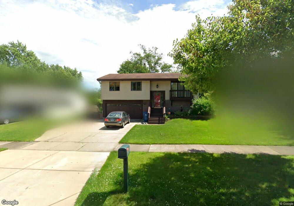
132 Cunningham Dr Unit 6 Bloomingdale, IL 60108
Estimated Value: $365,000
3
Beds
2
Baths
1,500
Sq Ft
$243/Sq Ft
Est. Value
About This Home
This home is located at 132 Cunningham Dr Unit 6, Bloomingdale, IL 60108 and is currently priced at $365,000, approximately $243 per square foot. 132 Cunningham Dr Unit 6 is a home located in DuPage County with nearby schools including Marquardt Middle School, Glenbard East High School, and St Isidore School.
Ownership History
Date
Name
Owned For
Owner Type
Purchase Details
Closed on
Apr 2, 2013
Sold by
Chancellor Kathy Jo
Bought by
Wardisiani Mark
Current Estimated Value
Purchase Details
Closed on
May 12, 2011
Sold by
Dumstorf Matthew and Dumstorf Christine
Bought by
Wardisiani Mark C
Home Financials for this Owner
Home Financials are based on the most recent Mortgage that was taken out on this home.
Original Mortgage
$209,549
Interest Rate
4.25%
Mortgage Type
FHA
Purchase Details
Closed on
Apr 16, 2004
Sold by
Godlewski Lori Ann and Godlewski Joseph Raymond
Bought by
Dumstorf Matthew and Dumstorf Christine
Home Financials for this Owner
Home Financials are based on the most recent Mortgage that was taken out on this home.
Original Mortgage
$264,000
Interest Rate
5.48%
Mortgage Type
Purchase Money Mortgage
Create a Home Valuation Report for This Property
The Home Valuation Report is an in-depth analysis detailing your home's value as well as a comparison with similar homes in the area
Home Values in the Area
Average Home Value in this Area
Purchase History
| Date | Buyer | Sale Price | Title Company |
|---|---|---|---|
| Wardisiani Mark | -- | None Available | |
| Wardisiani Mark C | $215,000 | Multiple | |
| Dumstorf Matthew | $278,000 | Ticor |
Source: Public Records
Mortgage History
| Date | Status | Borrower | Loan Amount |
|---|---|---|---|
| Previous Owner | Wardisiani Mark C | $209,549 | |
| Previous Owner | Dumstorf Matthew | $264,000 |
Source: Public Records
Tax History Compared to Growth
Tax History
| Year | Tax Paid | Tax Assessment Tax Assessment Total Assessment is a certain percentage of the fair market value that is determined by local assessors to be the total taxable value of land and additions on the property. | Land | Improvement |
|---|---|---|---|---|
| 2020 | $7,975 | $83,410 | $29,310 | $54,100 |
| 2019 | $7,223 | $80,160 | $28,170 | $51,990 |
| 2018 | $8,386 | $86,120 | $27,430 | $58,690 |
| 2017 | $7,955 | $79,820 | $25,420 | $54,400 |
| 2016 | $7,471 | $73,880 | $23,530 | $50,350 |
| 2015 | $7,393 | $68,950 | $21,960 | $46,990 |
Source: Public Records
Map
Nearby Homes
- 253 Sterling Ln
- 161 N Waters Edge Dr Unit 202
- 201 N Waters Edge Dr Unit 101
- 2158 College Dr Unit 7
- 169 E Lake Ridge Dr Unit 21
- 2257 Lake Ridge Dr Unit 74
- 2155 College Dr Unit 7
- 135 Fairlane Ct Unit B
- 224 Oakwood Ln
- 279 Blue Spruce Ln
- 187 W Army Trail Rd
- 158 S Prairie Ave
- 133 Harding Ct
- 258 Thrasher St
- 2018 Stonefield Dr
- 1943 Towner Ln
- 1941 Aspen Ln
- 89 Stonefield Dr
- 67 Stonefield Dr
- 300 Starling Ct Unit A
- 130 Cunningham Dr
- 134 Cunningham Dr
- 128 Cunningham Dr
- 270 Cunningham Ln
- 269 Winston Ln
- 298 Bridgewater Ln
- 275 Cunningham Ln
- 131 Surrey Dr
- 300 Bridgewater Ln
- 273 Cunningham Ln
- 268 Cunningham Ln
- 276 Winston Ln
- 267 Winston Ln
- 274 Winston Ln
- 271 Cunningham Ln
- 302 Bridgewater Ln
- 272 Winston Ln
- 269 Cunningham Ln
- 265 Winston Ln
- 133 Surrey Dr