Estimated Value: $420,000 - $504,000
3
Beds
2
Baths
1,172
Sq Ft
$395/Sq Ft
Est. Value
About This Home
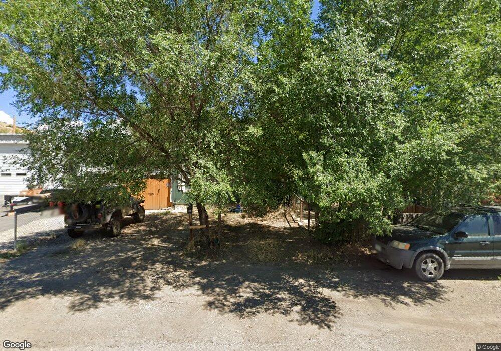
This home is located at 132 Daniel Ave, Rifle, CO 81650 and is currently estimated at $462,377, approximately $394 per square foot. 132 Daniel Ave is a home located in Garfield County with nearby schools including Wamsley Elementary School, Rifle Middle School, and Rifle High School.
Ownership History
Date
Name
Owned For
Owner Type
Purchase Details
Closed on
Dec 21, 2007
Sold by
Rensberry Robert V
Bought by
Rhodes Tim Allen and Rhodes Veronica Maria
Current Estimated Value
Home Financials for this Owner
Home Financials are based on the most recent Mortgage that was taken out on this home.
Original Mortgage
$241,214
Outstanding Balance
$148,156
Interest Rate
6.26%
Mortgage Type
Purchase Money Mortgage
Estimated Equity
$314,221
Purchase Details
Closed on
Feb 18, 2005
Sold by
Persons Mark D and Persons Angela
Bought by
Rensberry Robert
Purchase Details
Closed on
Jun 17, 2003
Sold by
Grant Earnest William
Bought by
Persons Mark D and Persons Angela
Purchase Details
Closed on
Sep 26, 2001
Sold by
Zarlingo Anthony Jon
Bought by
Grant Earnest William
Create a Home Valuation Report for This Property
The Home Valuation Report is an in-depth analysis detailing your home's value as well as a comparison with similar homes in the area
Home Values in the Area
Average Home Value in this Area
Purchase History
| Date | Buyer | Sale Price | Title Company |
|---|---|---|---|
| Rhodes Tim Allen | $245,000 | Stewart Title Of Colorado | |
| Rensberry Robert | $50,000 | Commonwealth | |
| Persons Mark D | $45,000 | -- | |
| Grant Earnest William | -- | -- |
Source: Public Records
Mortgage History
| Date | Status | Borrower | Loan Amount |
|---|---|---|---|
| Open | Rhodes Tim Allen | $241,214 |
Source: Public Records
Tax History
| Year | Tax Paid | Tax Assessment Tax Assessment Total Assessment is a certain percentage of the fair market value that is determined by local assessors to be the total taxable value of land and additions on the property. | Land | Improvement |
|---|---|---|---|---|
| 2025 | $2,190 | $24,910 | $3,250 | $21,660 |
| 2024 | $2,190 | $19,390 | $2,480 | $16,910 |
| 2023 | $1,478 | $19,390 | $2,480 | $16,910 |
| 2022 | $1,181 | $16,490 | $3,480 | $13,010 |
| 2021 | $1,357 | $16,970 | $3,580 | $13,390 |
| 2020 | $1,080 | $14,760 | $2,570 | $12,190 |
| 2019 | $1,022 | $14,760 | $2,570 | $12,190 |
| 2018 | $845 | $11,940 | $2,380 | $9,560 |
| 2017 | $764 | $11,940 | $2,380 | $9,560 |
| 2016 | $264 | $4,680 | $2,150 | $2,530 |
| 2015 | $244 | $4,680 | $2,150 | $2,530 |
| 2014 | -- | $6,310 | $1,550 | $4,760 |
Source: Public Records
Map
Nearby Homes
- 124 Daniel Ave
- 326 Will Ave
- 326 Prefontaine Ave
- 1617 W 7th St
- 2432 Pioneer Way
- 332 Elm Ave
- 824 W 5th St
- 1008 Wamsley Way
- 500 Fairway Ave
- 381 W 5th St Unit 2
- 232 W 4th St
- 751 Park Ave
- 1165 Park Ave
- 216 E 1st St
- 758 Railroad Ave
- 327 E 3rd St
- 440 Whiteriver Ave
- 629 Whiteriver Ave
- 1384 Munro Ave
- 805 Munro Ave
Your Personal Tour Guide
Ask me questions while you tour the home.