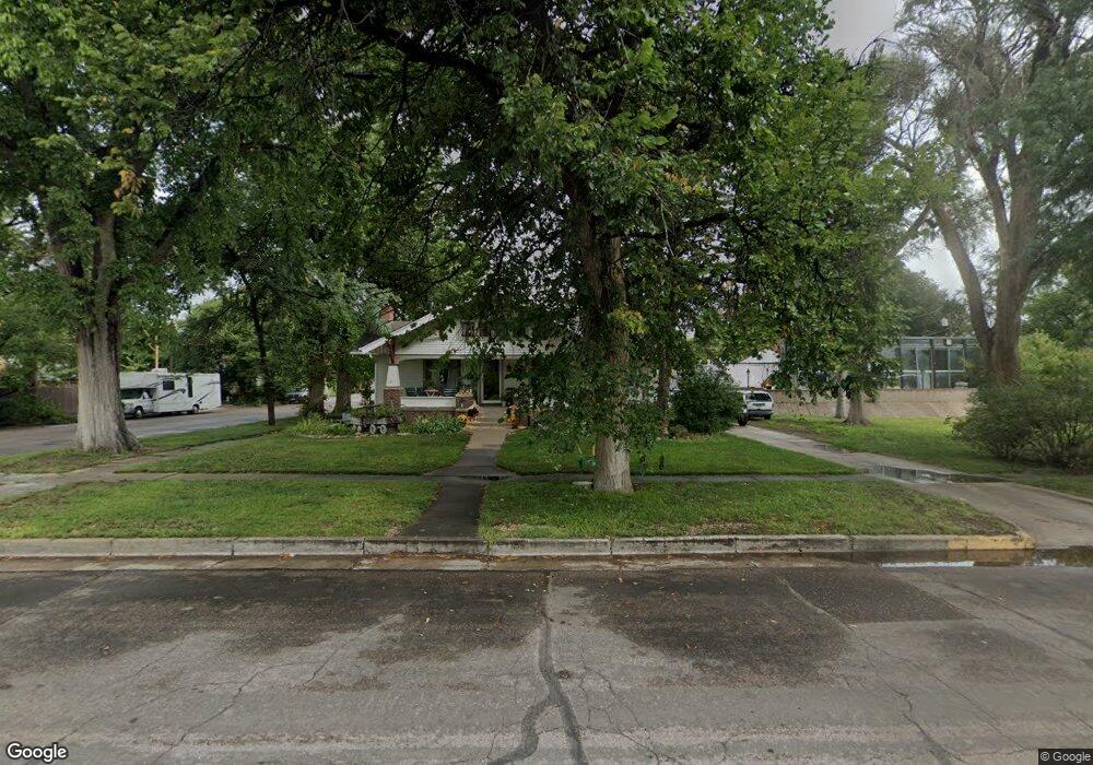
132 Delmar St Sterling, CO 80751
Estimated Value: $393,000 - $507,000
6
Beds
3
Baths
4,390
Sq Ft
$106/Sq Ft
Est. Value
About This Home
This home is located at 132 Delmar St, Sterling, CO 80751 and is currently estimated at $466,128, approximately $106 per square foot. 132 Delmar St is a home located in Logan County with nearby schools including Ayres Elementary School, Campbell Elementary School, and Sterling Middle School.
Ownership History
Date
Name
Owned For
Owner Type
Purchase Details
Closed on
Apr 27, 2010
Sold by
The Bank Of New York Mellon
Bought by
Gilbert Brent I
Current Estimated Value
Home Financials for this Owner
Home Financials are based on the most recent Mortgage that was taken out on this home.
Original Mortgage
$239,950
Interest Rate
4.78%
Mortgage Type
VA
Purchase Details
Closed on
Dec 23, 2009
Sold by
Richardson Dusty S and Richardson Angie M
Bought by
The Bank Of New York Mellon
Purchase Details
Closed on
Jun 15, 2006
Sold by
Carlsen William Scott and Carlsen Mary Kathleen
Bought by
Richardson Dusty S and Richardson Angie M
Home Financials for this Owner
Home Financials are based on the most recent Mortgage that was taken out on this home.
Original Mortgage
$244,000
Interest Rate
6.58%
Mortgage Type
New Conventional
Create a Home Valuation Report for This Property
The Home Valuation Report is an in-depth analysis detailing your home's value as well as a comparison with similar homes in the area
Home Values in the Area
Average Home Value in this Area
Purchase History
| Date | Buyer | Sale Price | Title Company |
|---|---|---|---|
| Gilbert Brent I | $234,900 | None Available | |
| The Bank Of New York Mellon | -- | None Available | |
| Richardson Dusty S | $305,000 | Stewart Title Of Sterling |
Source: Public Records
Mortgage History
| Date | Status | Borrower | Loan Amount |
|---|---|---|---|
| Previous Owner | Gilbert Brent I | $239,950 | |
| Previous Owner | Richardson Dusty S | $244,000 |
Source: Public Records
Tax History Compared to Growth
Tax History
| Year | Tax Paid | Tax Assessment Tax Assessment Total Assessment is a certain percentage of the fair market value that is determined by local assessors to be the total taxable value of land and additions on the property. | Land | Improvement |
|---|---|---|---|---|
| 2024 | $2,247 | $33,150 | $0 | $0 |
| 2023 | $2,247 | $33,150 | $0 | $0 |
| 2022 | $2,202 | $26,130 | $4,550 | $21,580 |
| 2021 | $2,152 | $26,880 | $4,680 | $22,200 |
| 2020 | $2,038 | $48,420 | $4,350 | $44,070 |
| 2019 | $2,032 | $48,080 | $4,320 | $43,760 |
| 2018 | $1,846 | $21,800 | $3,300 | $18,500 |
| 2017 | $1,816 | $106,000 | $16,050 | $89,950 |
| 2015 | $1,861 | $99,350 | $14,900 | $84,450 |
| 2014 | $1,861 | $94,330 | $14,900 | $79,430 |
| 2013 | $1,861 | $94,330 | $14,900 | $79,430 |
Source: Public Records
Map
Nearby Homes
- 127 Columbine St
- 131 Columbine St
- 123 Columbine St
- 204 Delmar St
- 201 Columbine St
- 1012 S Division Ave
- 1012 S Division Ave Unit 1
- 208 Delmar St
- 205 Columbine St
- 1006 S Division Ave
- 216 Delmar St
- 209 Columbine St Unit 211
- 126 Columbine St
- 132 Columbine St
- 120 Columbine St
- 224 Delmar St
- 215 Columbine St
- 202 Columbine St
- 104 Columbine St
- 210 Columbine St