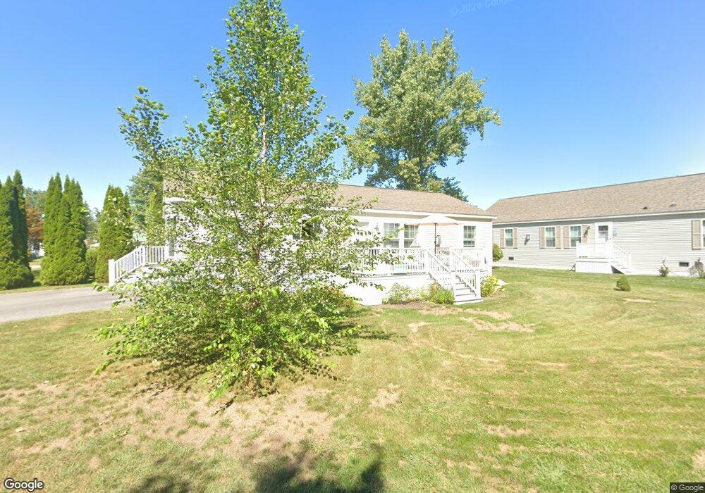
132 Diamond Dr Portland, ME 04106
Estimated Value: $420,000 - $489,000
2
Beds
2
Baths
1,064
Sq Ft
$422/Sq Ft
Est. Value
About This Home
This home is located at 132 Diamond Dr, Portland, ME 04106 and is currently estimated at $449,470, approximately $422 per square foot. 132 Diamond Dr is a home located in Cumberland County with nearby schools including Scarborough High School and Greater Portland Christian School.
Ownership History
Date
Name
Owned For
Owner Type
Purchase Details
Closed on
Oct 8, 2009
Sold by
Trenhorm Franklin H
Bought by
Overton Donald K and Overton Susan Clark
Current Estimated Value
Home Financials for this Owner
Home Financials are based on the most recent Mortgage that was taken out on this home.
Original Mortgage
$123,200
Outstanding Balance
$80,694
Interest Rate
5.14%
Mortgage Type
Unknown
Estimated Equity
$368,776
Create a Home Valuation Report for This Property
The Home Valuation Report is an in-depth analysis detailing your home's value as well as a comparison with similar homes in the area
Home Values in the Area
Average Home Value in this Area
Purchase History
| Date | Buyer | Sale Price | Title Company |
|---|---|---|---|
| Overton Donald K | -- | -- |
Source: Public Records
Mortgage History
| Date | Status | Borrower | Loan Amount |
|---|---|---|---|
| Open | Overton Donald K | $123,200 | |
| Previous Owner | Overton Donald K | $100,000 |
Source: Public Records
Tax History Compared to Growth
Tax History
| Year | Tax Paid | Tax Assessment Tax Assessment Total Assessment is a certain percentage of the fair market value that is determined by local assessors to be the total taxable value of land and additions on the property. | Land | Improvement |
|---|---|---|---|---|
| 2024 | $4,206 | $280,200 | $64,100 | $216,100 |
| 2023 | $4,038 | $280,200 | $64,100 | $216,100 |
| 2022 | $3,814 | $280,200 | $64,100 | $216,100 |
| 2021 | $3,640 | $280,200 | $64,100 | $216,100 |
| 2020 | $3,935 | $168,800 | $88,000 | $80,800 |
| 2019 | $3,935 | $168,800 | $88,000 | $80,800 |
| 2018 | $3,795 | $168,800 | $88,000 | $80,800 |
| 2017 | $3,655 | $168,800 | $88,000 | $80,800 |
| 2016 | $3,563 | $168,800 | $88,000 | $80,800 |
| 2015 | $3,482 | $168,800 | $88,000 | $80,800 |
| 2014 | $3,376 | $168,800 | $88,000 | $80,800 |
Source: Public Records
Map
Nearby Homes
- 793 Main St
- 79 Massachusetts Ave
- 173 New York Ave Unit R
- 20 Noyes St
- 753 Main St
- 757 Main St Unit 8
- 757 Main St Unit 18
- 1 Puffin Ln Unit 11
- 4 Plover Way Unit 18
- 6 Plover Way Unit 19
- 111 Marcelle Ave
- 75 Landry Cir
- 10 Leighton Farm Rd
- 46 Burwell Ave
- 2 Owens Way
- 124 Westbrook St
- 23 Aspen Ave
- 125 Westbrook St
- 11 Second Ave
- 135 Keswick Rd
- 124 Diamond Dr
- 124 Diamond Dr
- 124 Diamond Dr Unit 124
- 138 Diamond Dr
- 159 Diamond Dr
- 162 Diamond Dr
- 8 Golondrina Ln
- 164 Diamond Dr
- 166 Diamond Dr
- 168 Diamond Dr
- 168 Diamond Dr Unit 47B
- 6 Golondrina Ln
- 9 Riverview Place
- 204 Emerald Dr
- 7 Riverview Place
- 321 Garnet Dr
- 200 Emerald Dr
- 1 Us Route 1
- 309 Garnet Ave
- 7 Kenosha Ave