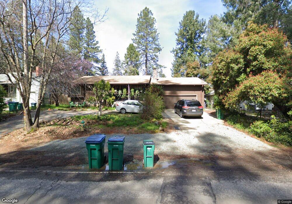
132 E Empire St Grass Valley, CA 95945
Estimated Value: $348,000 - $506,000
3
Beds
2
Baths
1,615
Sq Ft
$287/Sq Ft
Est. Value
About This Home
This home is located at 132 E Empire St, Grass Valley, CA 95945 and is currently estimated at $463,396, approximately $286 per square foot. 132 E Empire St is a home located in Nevada County with nearby schools including Bell Hill Academy, Margaret G. Scotten Elementary School, and Lyman Gilmore Middle School.
Ownership History
Date
Name
Owned For
Owner Type
Purchase Details
Closed on
Oct 16, 2000
Sold by
Titus Robert L
Bought by
Morrow John D and Morrow Lydia N
Current Estimated Value
Home Financials for this Owner
Home Financials are based on the most recent Mortgage that was taken out on this home.
Original Mortgage
$168,300
Outstanding Balance
$68,903
Interest Rate
9.65%
Estimated Equity
$394,493
Create a Home Valuation Report for This Property
The Home Valuation Report is an in-depth analysis detailing your home's value as well as a comparison with similar homes in the area
Home Values in the Area
Average Home Value in this Area
Purchase History
| Date | Buyer | Sale Price | Title Company |
|---|---|---|---|
| Morrow John D | $187,000 | First American Title Ins Co |
Source: Public Records
Mortgage History
| Date | Status | Borrower | Loan Amount |
|---|---|---|---|
| Open | Morrow John D | $168,300 |
Source: Public Records
Tax History
| Year | Tax Paid | Tax Assessment Tax Assessment Total Assessment is a certain percentage of the fair market value that is determined by local assessors to be the total taxable value of land and additions on the property. | Land | Improvement |
|---|---|---|---|---|
| 2025 | $3,038 | $281,758 | $75,330 | $206,428 |
| 2024 | $2,966 | $276,234 | $73,853 | $202,381 |
| 2023 | $2,966 | $270,818 | $72,405 | $198,413 |
| 2022 | $2,940 | $265,509 | $70,986 | $194,523 |
| 2021 | $2,858 | $260,304 | $69,595 | $190,709 |
| 2020 | $2,856 | $257,636 | $68,882 | $188,754 |
| 2019 | $2,739 | $252,585 | $67,532 | $185,053 |
| 2018 | $0 | $247,633 | $66,208 | $181,425 |
| 2017 | $2,621 | $242,778 | $64,910 | $177,868 |
| 2016 | $2,526 | $238,019 | $63,638 | $174,381 |
| 2015 | $2,491 | $234,445 | $62,683 | $171,762 |
| 2014 | -- | $215,500 | $57,500 | $158,000 |
Source: Public Records
Map
Nearby Homes
- 350 Miners Trail
- 575 Kate Hayes St
- 203 Race St
- 626 S Auburn St
- 0 Adams Ln
- 110 Adams Ln
- 650 Le Duc St
- 410-362 Marshall St
- 348 Marshall St
- 220 Colfax Ave
- 517 Mill St
- 224 Bennett St
- 322 Mill St
- 526 Mill St
- 526 Mill St Unit 1
- 10819 Gold Hill Dr
- 10624 Silver Way
- 240 Cornwall Ave
- 245 Cornwall Ave
- 10901 Footwall Dr
- 134 E Empire St
- 130 E Empire St
- 329 Empire Ct
- 128 E Empire St
- 335 Empire Ct
- 313 Empire Ct
- 337 Empire Ct
- 126 E Empire St
- 138 E Empire St
- 131 E Empire St
- 129 E Empire St
- 135 E Empire St
- 124 E Empire St
- 311 Empire Ct
- 147 E Empire St
- 341 Empire Ct
- 0 Kate Hays Apartments Unit 7935637-11855667
- 322 Empire Ct
Your Personal Tour Guide
Ask me questions while you tour the home.