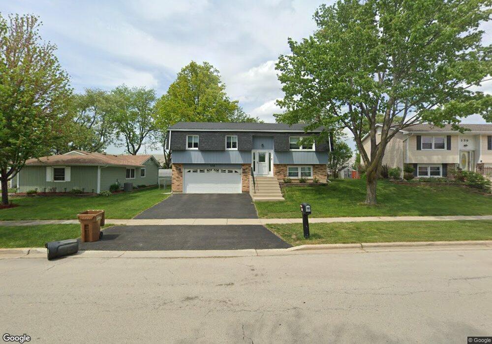
132 E Stevenson Dr Glendale Heights, IL 60139
Estimated Value: $305,000 - $342,000
3
Beds
2
Baths
1,616
Sq Ft
$203/Sq Ft
Est. Value
About This Home
This home is located at 132 E Stevenson Dr, Glendale Heights, IL 60139 and is currently estimated at $327,953, approximately $202 per square foot. 132 E Stevenson Dr is a home located in DuPage County with nearby schools including Americana Intermediate School, Glenside Middle School, and Glenbard North High School.
Ownership History
Date
Name
Owned For
Owner Type
Purchase Details
Closed on
Apr 28, 1995
Sold by
Gonzalez Alphonso
Bought by
Galanopulos Michael and Galanopoulos Alexandria
Current Estimated Value
Home Financials for this Owner
Home Financials are based on the most recent Mortgage that was taken out on this home.
Original Mortgage
$133,845
Interest Rate
8.42%
Mortgage Type
FHA
Create a Home Valuation Report for This Property
The Home Valuation Report is an in-depth analysis detailing your home's value as well as a comparison with similar homes in the area
Home Values in the Area
Average Home Value in this Area
Purchase History
| Date | Buyer | Sale Price | Title Company |
|---|---|---|---|
| Galanopulos Michael | $136,000 | -- |
Source: Public Records
Mortgage History
| Date | Status | Borrower | Loan Amount |
|---|---|---|---|
| Closed | Galanopulos Michael | $133,845 |
Source: Public Records
Tax History
| Year | Tax Paid | Tax Assessment Tax Assessment Total Assessment is a certain percentage of the fair market value that is determined by local assessors to be the total taxable value of land and additions on the property. | Land | Improvement |
|---|---|---|---|---|
| 2024 | $8,664 | $102,701 | $24,647 | $78,054 |
| 2023 | $8,366 | $93,920 | $22,540 | $71,380 |
| 2022 | $7,852 | $84,260 | $22,030 | $62,230 |
| 2021 | $7,429 | $80,060 | $20,930 | $59,130 |
| 2020 | $7,151 | $78,110 | $20,420 | $57,690 |
| 2019 | $6,923 | $75,060 | $19,620 | $55,440 |
| 2018 | $7,077 | $68,920 | $19,110 | $49,810 |
| 2017 | $6,865 | $63,880 | $17,710 | $46,170 |
| 2016 | $6,602 | $59,120 | $16,390 | $42,730 |
| 2015 | $6,479 | $55,160 | $15,290 | $39,870 |
| 2014 | $7,019 | $58,800 | $16,300 | $42,500 |
| 2013 | $6,925 | $60,810 | $16,860 | $43,950 |
Source: Public Records
Map
Nearby Homes
- 1772 Frank Ct
- 200 Ahmed Ct
- 18 Hesterman Dr
- 225 E Lincoln Ave
- 1767 Hemlock Dr
- 28 W Devon Ave
- 51 W Stevenson Dr
- 1751 Hemlock Dr
- 290 E Wrightwood Ave
- 1905 Basswood Ln
- 156 E Fullerton Ave
- 364 Polo Club Dr Unit 2
- 285 Loveland Dr
- 73 W Altgeld Ave
- 2021 Cypress Ct
- 264 Blue Spruce Ln
- 323 Mark Ave
- 1890 Harvest Ln
- 1470 Elizabeth St
- 41 Siems Dr
- 128 E Stevenson Dr
- 138 E Stevenson Dr
- 142 E Stevenson Dr
- 122 E Stevenson Dr
- 137 E Stevenson Dr
- 1787 Mimosa Ct
- 148 E Stevenson Dr
- 118 E Stevenson Dr
- 154 Poplar St
- 1781 Mimosa Ct
- 113 E Stevenson Dr
- 152 E Stevenson Dr
- 114 E Stevenson Dr
- 148 Poplar St
- 1777 Mimosa Ct
- 1780 Mimosa Ct Unit 1
- 155 Poplar St
- 158 E Stevenson Dr
- 109 E Stevenson Dr
- 140 Poplar St
Your Personal Tour Guide
Ask me questions while you tour the home.