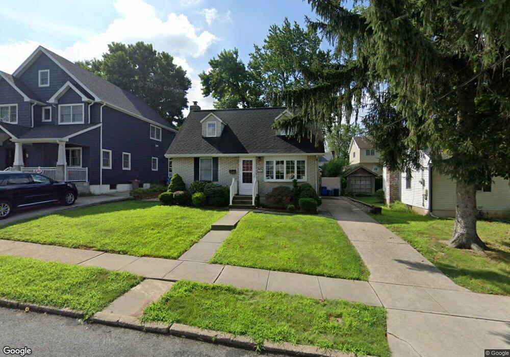
132 Fairfield St Staten Island, NY 10308
Great Kills NeighborhoodEstimated Value: $637,000 - $830,000
--
Bed
4
Baths
998
Sq Ft
$724/Sq Ft
Est. Value
About This Home
This home is located at 132 Fairfield St, Staten Island, NY 10308 and is currently estimated at $722,409, approximately $723 per square foot. 132 Fairfield St is a home located in Richmond County with nearby schools including P.S. 32 The Gifford School, I.S. 075 Frank D. Paulo, and Susan E Wagner High School.
Ownership History
Date
Name
Owned For
Owner Type
Purchase Details
Closed on
Feb 8, 2019
Sold by
Lukowski Stephen A and Lukowski Joanne
Bought by
Lukowski Michael A and Lukowski Carmela
Current Estimated Value
Purchase Details
Closed on
Apr 2, 2013
Sold by
Lukowski Stephen A and Lukowski Joanne
Bought by
Lukowski Stephen A and Lukowski Joanne
Purchase Details
Closed on
Jul 8, 2009
Sold by
Lukowski Stephen A and Lukowski Joanne
Bought by
Lukowski Stephen A and Lukowski Joanne
Create a Home Valuation Report for This Property
The Home Valuation Report is an in-depth analysis detailing your home's value as well as a comparison with similar homes in the area
Home Values in the Area
Average Home Value in this Area
Purchase History
| Date | Buyer | Sale Price | Title Company |
|---|---|---|---|
| Lukowski Michael A | -- | Commonwealth Land Ttl Ins Co | |
| Lukowski Stephen A | -- | None Available | |
| Lukowski Stephen A | $168,274 | None Available | |
| Mazza Anna | $168,274 | None Available |
Source: Public Records
Tax History Compared to Growth
Tax History
| Year | Tax Paid | Tax Assessment Tax Assessment Total Assessment is a certain percentage of the fair market value that is determined by local assessors to be the total taxable value of land and additions on the property. | Land | Improvement |
|---|---|---|---|---|
| 2025 | $6,797 | $44,760 | $12,117 | $32,643 |
| 2024 | $6,797 | $38,100 | $13,429 | $24,671 |
| 2023 | $6,873 | $33,840 | $12,341 | $21,499 |
| 2022 | $6,520 | $37,140 | $15,120 | $22,020 |
| 2021 | $6,576 | $32,040 | $15,120 | $16,920 |
| 2020 | $6,327 | $35,160 | $15,120 | $20,040 |
| 2019 | $6,301 | $30,540 | $15,120 | $15,420 |
| 2018 | $4,502 | $28,200 | $12,690 | $15,510 |
| 2017 | $4,554 | $27,216 | $13,744 | $13,472 |
| 2016 | $4,254 | $26,040 | $15,120 | $10,920 |
| 2015 | $4,205 | $24,909 | $10,610 | $14,299 |
| 2014 | $4,205 | $23,500 | $11,397 | $12,103 |
Source: Public Records
Map
Nearby Homes
- 132 Elkhart St
- 87 Pemberton Ave
- 12 Lexington Ln
- 72 Eric Ln
- 62 Daleham St
- 414 Elverton Ave
- 420 Arthur Kill Rd
- 52 Barlow Ave
- 466 Doane Ave
- 47 Jumel St
- 12 Troy St
- 98 Kennington St
- 305 Corbin Ave
- 4 Country Woods Ln
- 38 Troy St
- 40 Troy St
- 168 Leverett Ave
- 160 Tanglewood Dr
- 19 Nutwood Ct
- 379 Brookfield Ave
- 138 Fairfield St
- 128 Fairfield St
- 142 Fairfield St
- 143 Gurley Ave
- 139 Gurley Ave
- 122 Fairfield St
- 147 Gurley Ave
- 135 Gurley Ave
- 146 Fairfield St
- 151 Gurley Ave
- 129 Gurley Ave
- 133 Fairfield St
- 118 Fairfield St
- 150 Fairfield St
- 148 Fairfield St
- 129 Fairfield St
- 155 Gurley Ave Unit 2
- 155 Gurley Ave
- 143 Fairfield St
- 123 Fairfield St