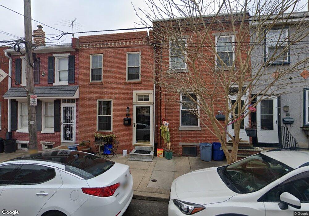
132 Fernon St Philadelphia, PA 19148
Pennsport NeighborhoodEstimated Value: $298,000 - $372,000
2
Beds
2
Baths
1,300
Sq Ft
$259/Sq Ft
Est. Value
About This Home
This home is located at 132 Fernon St, Philadelphia, PA 19148 and is currently estimated at $336,999, approximately $259 per square foot. 132 Fernon St is a home located in Philadelphia County with nearby schools including Vare-Washington Elementary School, Furness Horace High School, and St. Casimir School.
Ownership History
Date
Name
Owned For
Owner Type
Purchase Details
Closed on
Jun 17, 2010
Sold by
Greenaway Thomas D and Greenaway Janet L
Bought by
Paul David S
Current Estimated Value
Home Financials for this Owner
Home Financials are based on the most recent Mortgage that was taken out on this home.
Original Mortgage
$197,500
Outstanding Balance
$131,922
Interest Rate
4.98%
Mortgage Type
New Conventional
Estimated Equity
$205,077
Purchase Details
Closed on
Nov 29, 2006
Sold by
Taylor William Francis
Bought by
Greenaway Thomas D and Greenaway Janet L
Purchase Details
Closed on
Oct 17, 1995
Sold by
Barnstead Marie M and Taylor William Francis
Bought by
Barnstead Marie M and Taylor William Francis
Create a Home Valuation Report for This Property
The Home Valuation Report is an in-depth analysis detailing your home's value as well as a comparison with similar homes in the area
Home Values in the Area
Average Home Value in this Area
Purchase History
| Date | Buyer | Sale Price | Title Company |
|---|---|---|---|
| Paul David S | $282,500 | None Available | |
| Greenaway Thomas D | $130,000 | None Available | |
| Barnstead Marie M | -- | -- |
Source: Public Records
Mortgage History
| Date | Status | Borrower | Loan Amount |
|---|---|---|---|
| Open | Paul David S | $197,500 |
Source: Public Records
Tax History Compared to Growth
Tax History
| Year | Tax Paid | Tax Assessment Tax Assessment Total Assessment is a certain percentage of the fair market value that is determined by local assessors to be the total taxable value of land and additions on the property. | Land | Improvement |
|---|---|---|---|---|
| 2025 | $3,273 | $258,300 | $51,660 | $206,640 |
| 2024 | $3,273 | $258,300 | $51,660 | $206,640 |
| 2023 | $3,273 | $233,800 | $46,760 | $187,040 |
| 2022 | $2,433 | $188,800 | $46,760 | $142,040 |
| 2021 | $3,063 | $0 | $0 | $0 |
| 2020 | $3,063 | $0 | $0 | $0 |
| 2019 | $2,826 | $0 | $0 | $0 |
| 2018 | $1,279 | $0 | $0 | $0 |
| 2017 | $1,279 | $0 | $0 | $0 |
| 2016 | $819 | $0 | $0 | $0 |
| 2015 | $784 | $0 | $0 | $0 |
| 2014 | -- | $206,200 | $10,431 | $195,769 |
| 2012 | -- | $35,840 | $1,523 | $34,317 |
Source: Public Records
Map
Nearby Homes
- 130 Fernon St
- 134 Fernon St
- 128 Fernon St
- 136 Fernon St
- 133 Mountain St
- 126 Fernon St
- 131 Mountain St
- 135 Mountain St
- 138 Fernon St
- 129 Mountain St
- 1637 S Hancock St
- 127 Mountain St
- 1639 S Hancock St
- 122 Fernon St
- 125 Mountain St
- 1641 S Hancock St
- 123 Mountain St
- 120 Fernon St
- 123 Fernon St
- 121 Mountain St