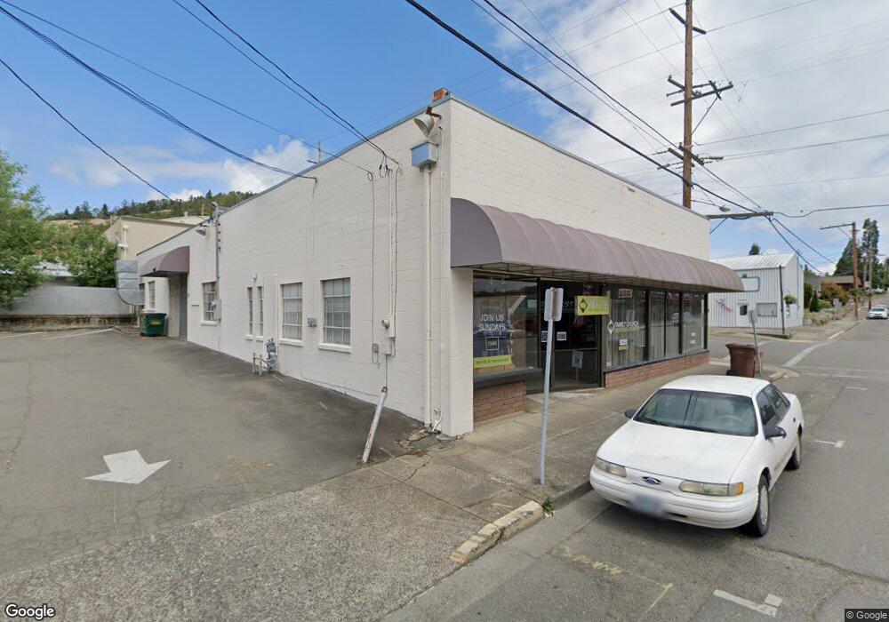
132 First Ave Myrtlecreek, OR 97457
Estimated Value: $340,221
--
Bed
--
Bath
5,000
Sq Ft
$68/Sq Ft
Est. Value
About This Home
This home is located at 132 First Ave, Myrtlecreek, OR 97457 and is currently priced at $340,221, approximately $68 per square foot. 132 First Ave is a home located in Douglas County with nearby schools including South Umpqua High School.
Ownership History
Date
Name
Owned For
Owner Type
Purchase Details
Closed on
Jun 5, 2025
Sold by
Alf Hanson Family Llc
Bought by
Voepel Leo F and Voepel Brandi R
Current Estimated Value
Home Financials for this Owner
Home Financials are based on the most recent Mortgage that was taken out on this home.
Original Mortgage
$265,000
Outstanding Balance
$264,320
Interest Rate
6.81%
Mortgage Type
Seller Take Back
Create a Home Valuation Report for This Property
The Home Valuation Report is an in-depth analysis detailing your home's value as well as a comparison with similar homes in the area
Home Values in the Area
Average Home Value in this Area
Purchase History
| Date | Buyer | Sale Price | Title Company |
|---|---|---|---|
| Voepel Leo F | $300,000 | Amerititle |
Source: Public Records
Mortgage History
| Date | Status | Borrower | Loan Amount |
|---|---|---|---|
| Open | Voepel Leo F | $265,000 |
Source: Public Records
Tax History Compared to Growth
Tax History
| Year | Tax Paid | Tax Assessment Tax Assessment Total Assessment is a certain percentage of the fair market value that is determined by local assessors to be the total taxable value of land and additions on the property. | Land | Improvement |
|---|---|---|---|---|
| 2024 | $2,229 | $166,640 | -- | -- |
| 2023 | $2,164 | $161,787 | $0 | $0 |
| 2022 | $2,101 | $157,075 | $0 | $0 |
| 2021 | $2,025 | $152,500 | $0 | $0 |
| 2020 | $1,998 | $149,368 | $0 | $0 |
| 2019 | $1,908 | $145,018 | $0 | $0 |
| 2018 | $1,813 | $0 | $0 | $0 |
| 2017 | $1,727 | $136,183 | $0 | $0 |
| 2016 | $1,779 | $136,695 | $0 | $0 |
| 2015 | $1,775 | $132,714 | $0 | $0 |
| 2014 | $1,668 | $128,849 | $0 | $0 |
| 2013 | -- | $125,097 | $0 | $0 |
Source: Public Records
Map
Nearby Homes
- 206 NE Laurel Ave
- 195 SE Mill St
- 217 SE Mill St
- 186 NE Division St
- 0 N Main St
- 728 NW Morrison Ave
- 420 SW 4th Ave
- 407 NE Waite St
- 0 S Main St Unit 24686107
- 455 Woody Ct
- 629 NE Johnson St
- 650 SE Riverside Dr
- 0 SE Meadowlark Ave Unit 370339863
- 1056 NE Orchard Dr
- 0 SE Ardis Ave Unit 7 24085450
- 0 SE Ardis Ave Unit 9 24630388
- 0 SE Ardis Ave Unit 8 24060428
- 0 SE Ardis Ave Unit 6,7,8,9 24184019
- 0 SE Ardis Ave Unit 6 24491349
- 0 SW Pioneer Way
- 135 NW 2nd Ave
- 119 NW 2nd Ave
- 109 1st Ave
- 105 NW Oak St
- 117 NE 1st Ave
- 119 NW Second Ave
- 129 N Main St
- 113 N Main St
- 106 NE Oak St
- 220 NW 1st Ave
- 119 S Main St
- 119 NE Main 125
- 139 N Main St
- 125 S Main St
- 110 NE Oak St
- 230 NW First Ave
- 230 NW 1st Ave
- 135 SE Main
- 135 S Main St Unit 2
- 135 S Main St Unit 3