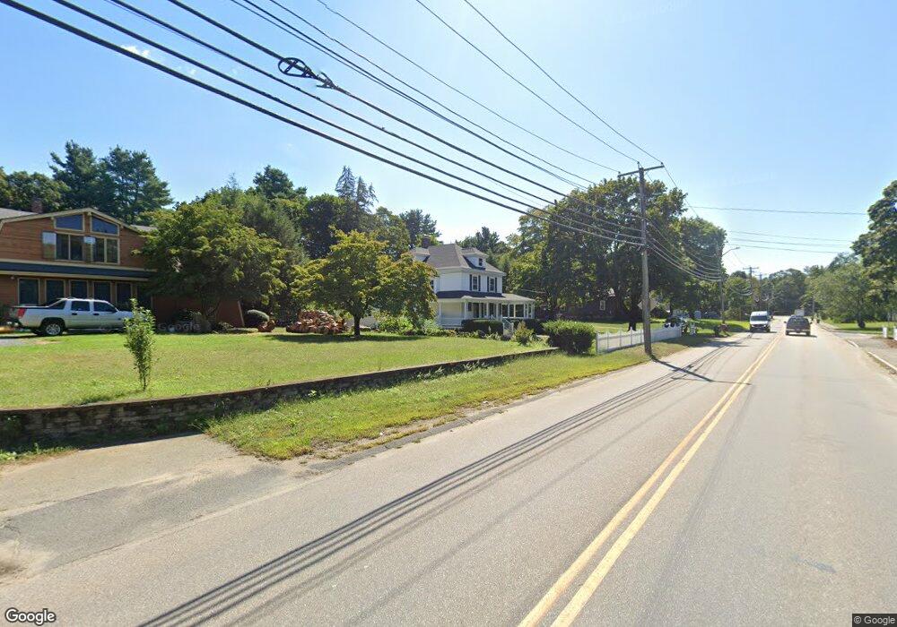
132 Franklin St Wrentham, MA 02093
Estimated Value: $803,000 - $862,000
4
Beds
3
Baths
2,685
Sq Ft
$309/Sq Ft
Est. Value
About This Home
This home is located at 132 Franklin St, Wrentham, MA 02093 and is currently estimated at $829,259, approximately $308 per square foot. 132 Franklin St is a home located in Norfolk County with nearby schools including Delaney Elementary School and Charles E Roderick.
Ownership History
Date
Name
Owned For
Owner Type
Purchase Details
Closed on
Aug 22, 2001
Sold by
Connolly James F
Bought by
Kaufman Martin S
Current Estimated Value
Home Financials for this Owner
Home Financials are based on the most recent Mortgage that was taken out on this home.
Original Mortgage
$319,500
Interest Rate
7.21%
Mortgage Type
Purchase Money Mortgage
Purchase Details
Closed on
Mar 1, 1995
Sold by
Raymond Loel A and Raymond Elizabeth E
Bought by
Connolly James F and Connolly Lee J
Create a Home Valuation Report for This Property
The Home Valuation Report is an in-depth analysis detailing your home's value as well as a comparison with similar homes in the area
Home Values in the Area
Average Home Value in this Area
Purchase History
| Date | Buyer | Sale Price | Title Company |
|---|---|---|---|
| Kaufman Martin S | $355,000 | -- | |
| Kaufman Martin S | $355,000 | -- | |
| Connolly James F | $204,000 | -- | |
| Connolly James F | $204,000 | -- |
Source: Public Records
Mortgage History
| Date | Status | Borrower | Loan Amount |
|---|---|---|---|
| Open | Connolly James F | $274,350 | |
| Closed | Kaufman Martin S | $319,500 | |
| Previous Owner | Connolly James F | $30,000 | |
| Previous Owner | Connolly James F | $184,000 |
Source: Public Records
Tax History Compared to Growth
Tax History
| Year | Tax Paid | Tax Assessment Tax Assessment Total Assessment is a certain percentage of the fair market value that is determined by local assessors to be the total taxable value of land and additions on the property. | Land | Improvement |
|---|---|---|---|---|
| 2025 | $8,410 | $725,600 | $287,800 | $437,800 |
| 2024 | $7,925 | $660,400 | $287,800 | $372,600 |
| 2023 | $7,410 | $587,200 | $252,100 | $335,100 |
| 2022 | $7,432 | $543,700 | $257,500 | $286,200 |
| 2021 | $6,958 | $494,500 | $229,300 | $265,200 |
| 2020 | $6,522 | $457,700 | $175,300 | $282,400 |
| 2019 | $6,180 | $437,700 | $167,000 | $270,700 |
| 2018 | $5,209 | $365,800 | $167,200 | $198,600 |
| 2017 | $4,978 | $349,300 | $164,000 | $185,300 |
| 2016 | $4,955 | $347,000 | $159,200 | $187,800 |
| 2015 | $4,848 | $323,600 | $153,100 | $170,500 |
| 2014 | $4,853 | $317,000 | $147,200 | $169,800 |
Source: Public Records
Map
Nearby Homes
- 10 Nature View Dr
- 15 Nature View Dr
- 270 Dedham St
- 1 Lorraine Metcalf Dr
- 131 Creek St Unit 7
- 570 Franklin St
- 362 East St
- 11 Earle Stewart Ln
- Lot 3 - 14 Earle Stewart Ln
- Lot 1 - Blueberry 2 Car Plan at King Philip Estates
- Lot 8 - Blueberry 2 Car Plan at King Philip Estates
- Lot 5 - Hughes 2 car Plan at King Philip Estates
- Lot 6 - Blueberry 3 Car Plan at King Philip Estates
- Lot 2 - Camden 2 Car Plan at King Philip Estates
- Lot 7 - Cedar Plan at King Philip Estates
- Lot 4 - Hemingway 2 Car Plan at King Philip Estates
- Lot 3 - Blueberry 2 Car Plan at King Philip Estates
- 319 Taunton St
- 246 Forest Grove Ave
- 50 Reed Fulton Ave Unit Lot 61
- 132 Franklin St
- 132 Franklin St Unit 132 Franklin St Unit
- 132 Franklin St Unit 2
- 132 Franklin St Unit 1
- 138 Franklin St
- 124 Franklin St
- 118 Franklin St
- 148 Franklin St
- 133 Franklin St
- LOT 25 Manchester Dr
- LOT 13 Hales Pond Ln
- LOT 23 Manchester Dr
- B Old Quarry Rd
- 112 Franklin St
- 106 Circle Dr
- 100 Circle Dr
- 112 Circle Dr
- 92 Circle Dr
- 96 Franklin St
- 96 Franklin St Unit 98