132 Highland Dr Unit 6 Branson, MO 65616
Table Rock NeighborhoodEstimated Value: $226,297 - $231,000
2
Beds
2
Baths
1,180
Sq Ft
$193/Sq Ft
Est. Value
About This Home
This home is located at 132 Highland Dr Unit 6, Branson, MO 65616 and is currently estimated at $228,099, approximately $193 per square foot. 132 Highland Dr Unit 6 is a home located in Taney County with nearby schools including Cedar Ridge Primary, Cedar Ridge Intermediate School, and Cedar Ridge Elementary School.
Ownership History
Date
Name
Owned For
Owner Type
Purchase Details
Closed on
Dec 29, 2022
Sold by
Whitlock William Abel and Whitlock Serena Eliza
Bought by
Reddoglover Llc
Current Estimated Value
Purchase Details
Closed on
Aug 10, 2020
Sold by
Highland Drive Condo Llc
Bought by
Whitlock William Abel and Whitlock Serena Elizabeth
Purchase Details
Closed on
Sep 18, 2018
Sold by
Boushehri Gereydoon and Boushehri Shoeila
Bought by
Highland Drive Condo Llc
Purchase Details
Closed on
Aug 2, 2013
Sold by
Boushehri Fereydoon and Boushehri Soheila
Bought by
Obrient Kenneth Larry and Obrient Monica Lynn
Create a Home Valuation Report for This Property
The Home Valuation Report is an in-depth analysis detailing your home's value as well as a comparison with similar homes in the area
Home Values in the Area
Average Home Value in this Area
Purchase History
| Date | Buyer | Sale Price | Title Company |
|---|---|---|---|
| Reddoglover Llc | -- | -- | |
| Whitlock William Abel | -- | None Available | |
| Highland Drive Condo Llc | -- | None Available | |
| Obrient Kenneth Larry | -- | None Available |
Source: Public Records
Tax History Compared to Growth
Tax History
| Year | Tax Paid | Tax Assessment Tax Assessment Total Assessment is a certain percentage of the fair market value that is determined by local assessors to be the total taxable value of land and additions on the property. | Land | Improvement |
|---|---|---|---|---|
| 2025 | $1,674 | $28,550 | -- | -- |
| 2023 | $1,674 | $30,450 | $0 | $0 |
| 2022 | $976 | $18,577 | $0 | $0 |
| 2021 | $970 | $26,720 | $0 | $0 |
| 2019 | $807 | $14,910 | $0 | $0 |
| 2018 | $778 | $14,420 | $0 | $0 |
| 2017 | $770 | $14,420 | $0 | $0 |
| 2016 | $768 | $14,420 | $0 | $0 |
| 2015 | $761 | $14,420 | $0 | $0 |
| 2014 | $726 | $14,420 | $0 | $0 |
Source: Public Records
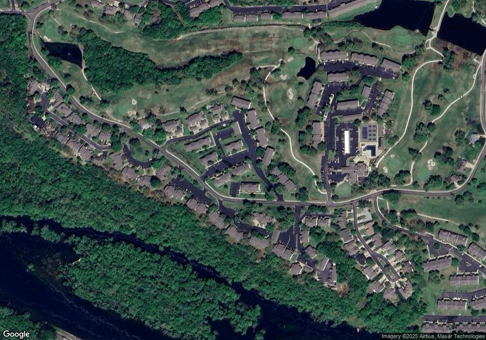
Map
Nearby Homes
- 169 Highland Dr Unit 11
- 169 Highland Dr Unit 1
- 151 Highland Dr Unit 55-3
- 151 Highland Dr Unit 6
- 132 Highland Dr Unit 2
- 132 Highland Dr Unit 12
- 132 Highland Dr Unit 8
- 186 Bunker Ridge Dr Unit 10
- 170 Bunker Ridge Dr Unit 12
- 146 Bunker Ridge Dr Unit 1
- 112 Overlook Dr Unit 2
- 112 Overlook Dr Unit 3
- 160 Mulligan Dr Unit 4
- 123 Bunker Ridge Dr Unit 4
- 123 Bunker Ridge Dr Unit 7
- 126 Overlook Dr Unit 3
- 126 Overlook Dr Unit 4
- 126 Overlook Dr Unit 5
- 124 Grandview Dr Unit 3
- 267 Bunker Ridge Dr Unit 11
- 132 Highland Dr Unit 11
- 132 Highland Dr Unit 10
- 132 Highland Dr Unit 7
- 132 Highland Dr Unit 3
- 132 Highland Dr Unit 1
- 132 Highland Dr (57-06) Unit 6
- 132 Highland Dr 57-1 Unit 1
- 132 Highland Dr (57-06)
- 132 Highland Dr
- 132 Highland Dr Unit 6
- 132 Highland Dr Unit 5
- 132 Highland(bld 57 Unit 8) Dr Unit 8
- 132 Highland Dr (57-06 Pt Rl)
- 132 Highland Drive #8
- 132 Highland Drive 57-3
- 132 Highland Dr (57-6)
- 123 Bunker Ridge Dr Unit 12
- 123 Bunker Ridge Dr Unit 11
- 123 Bunker Ridge Dr Unit 10
- 123 Bunker Ridge Dr Unit 9