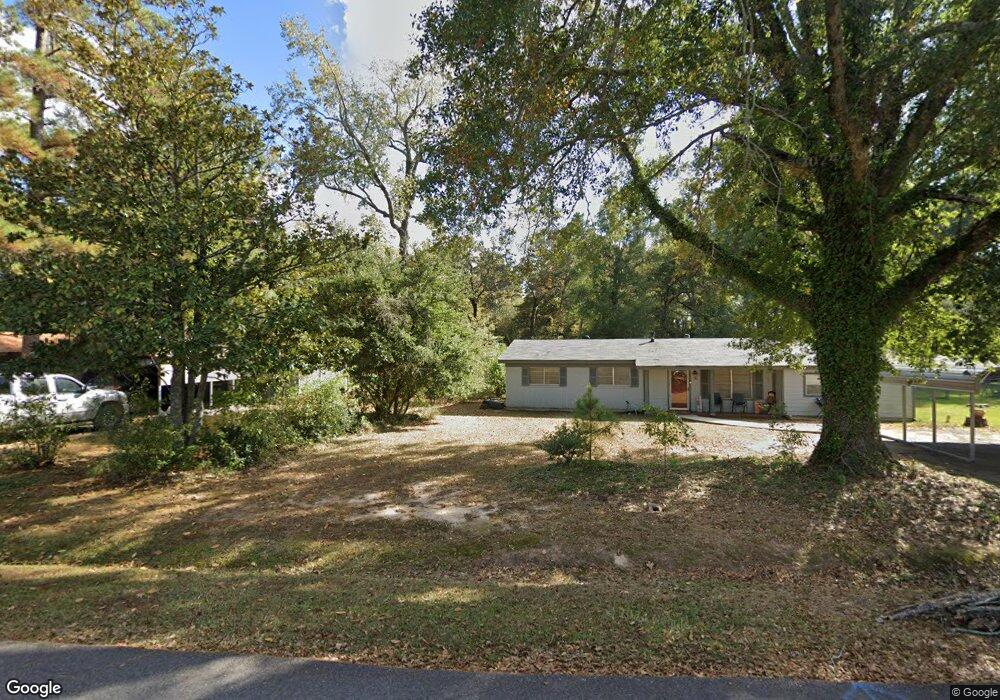
132 Hope St Unit 2 Mansfield, LA 71052
Estimated Value: $89,001 - $198,000
--
Bed
--
Bath
--
Sq Ft
2
Acres
About This Home
This home is located at 132 Hope St Unit 2, Mansfield, LA 71052 and is currently estimated at $145,000. 132 Hope St Unit 2 is a home located in De Soto Parish with nearby schools including Mansfield Elementary School, Mansfield Middle School, and Mansfield High School.
Ownership History
Date
Name
Owned For
Owner Type
Purchase Details
Closed on
Aug 18, 2010
Sold by
Laffitte Eddie and Laffitte Regina
Bought by
City Of Mansfield
Current Estimated Value
Purchase Details
Closed on
Feb 24, 2010
Sold by
Deutsche Bank National Trust Company
Bought by
Adkinson Raymond D and Adkinson Sandra R
Home Financials for this Owner
Home Financials are based on the most recent Mortgage that was taken out on this home.
Original Mortgage
$44,100
Interest Rate
4.98%
Mortgage Type
Unknown
Purchase Details
Closed on
Sep 24, 2009
Sold by
Laffitte Eddie Gabriel
Bought by
Deutsche Bank National Trust Co
Create a Home Valuation Report for This Property
The Home Valuation Report is an in-depth analysis detailing your home's value as well as a comparison with similar homes in the area
Home Values in the Area
Average Home Value in this Area
Purchase History
| Date | Buyer | Sale Price | Title Company |
|---|---|---|---|
| City Of Mansfield | $193 | None Available | |
| Adkinson Raymond D | $49,000 | Delta Title Corporation | |
| Deutsche Bank National Trust Co | $40,000 | None Available |
Source: Public Records
Mortgage History
| Date | Status | Borrower | Loan Amount |
|---|---|---|---|
| Previous Owner | Adkinson Raymond D | $44,100 |
Source: Public Records
Tax History Compared to Growth
Tax History
| Year | Tax Paid | Tax Assessment Tax Assessment Total Assessment is a certain percentage of the fair market value that is determined by local assessors to be the total taxable value of land and additions on the property. | Land | Improvement |
|---|---|---|---|---|
| 2024 | $107 | $6,260 | $800 | $5,460 |
| 2023 | $108 | $6,260 | $800 | $5,460 |
| 2022 | $735 | $6,260 | $800 | $5,460 |
| 2021 | $721 | $6,160 | $700 | $5,460 |
| 2020 | $721 | $6,160 | $700 | $5,460 |
| 2019 | $716 | $6,160 | $700 | $5,460 |
| 2018 | $717 | $6,160 | $700 | $5,460 |
| 2017 | $725 | $6,160 | $700 | $5,460 |
| 2016 | $883 | $7,500 | $700 | $6,800 |
| 2015 | $124 | $7,500 | $700 | $6,800 |
| 2014 | $124 | $7,500 | $700 | $6,800 |
| 2013 | $88 | $5,381 | $700 | $4,681 |
Source: Public Records
Map
Nearby Homes
- 1505 Mcarthur Dr
- 191 Circle Dr
- 1015 Highland Dr
- 0 Eloise St
- 440 Myra St
- 408 Myra St
- 121 Honeysuckle Dr
- 107 Crosby St
- 617 Laura St
- 128 Honeysuckle Dr
- 7292 Highway 509 Unit BADER
- 337 Jefferson St
- 1005 Susan St
- 814 Jefferson St
- 316 Kings Hwy
- 509 Lee St
- 708 S Princeton Dr
- 122 Post Oak Dr
- 278 Brown
- 209 Addison Rd