Estimated Value: $184,000 - $416,000
--
Bed
2
Baths
1,716
Sq Ft
$184/Sq Ft
Est. Value
About This Home
This home is located at 132 Jarrad Ln, Alma, GA 31510 and is currently estimated at $316,209, approximately $184 per square foot. 132 Jarrad Ln is a home located in Bacon County with nearby schools including Bacon County Primary School, Bacon County Elementary School, and Bacon County Middle School.
Ownership History
Date
Name
Owned For
Owner Type
Purchase Details
Closed on
Feb 1, 2016
Sold by
Jarrard Betty
Bought by
Peacock Kenneth Elie and Peacock Wanda Taylor
Current Estimated Value
Home Financials for this Owner
Home Financials are based on the most recent Mortgage that was taken out on this home.
Original Mortgage
$468,488
Interest Rate
4.04%
Mortgage Type
New Conventional
Purchase Details
Closed on
May 16, 2002
Sold by
Jarrard Betty E
Bought by
Jarrard Clinton
Purchase Details
Closed on
Oct 12, 1995
Bought by
Jarrard Betty E
Create a Home Valuation Report for This Property
The Home Valuation Report is an in-depth analysis detailing your home's value as well as a comparison with similar homes in the area
Home Values in the Area
Average Home Value in this Area
Purchase History
| Date | Buyer | Sale Price | Title Company |
|---|---|---|---|
| Peacock Kenneth Elie | $185,000 | -- | |
| Jarrard Clinton | -- | -- | |
| Jarrard Betty E | -- | -- |
Source: Public Records
Mortgage History
| Date | Status | Borrower | Loan Amount |
|---|---|---|---|
| Closed | Peacock Kenneth Elie | $468,488 |
Source: Public Records
Tax History Compared to Growth
Tax History
| Year | Tax Paid | Tax Assessment Tax Assessment Total Assessment is a certain percentage of the fair market value that is determined by local assessors to be the total taxable value of land and additions on the property. | Land | Improvement |
|---|---|---|---|---|
| 2024 | $2,085 | $101,152 | $37,360 | $63,792 |
| 2023 | $2,641 | $96,952 | $37,360 | $59,592 |
| 2022 | $2,425 | $82,232 | $37,360 | $44,872 |
| 2021 | $2,409 | $81,280 | $37,360 | $43,920 |
| 2020 | $2,180 | $69,411 | $28,254 | $41,157 |
| 2019 | $2,183 | $69,411 | $28,254 | $41,157 |
| 2018 | $2,148 | $68,477 | $28,254 | $40,223 |
| 2017 | $1,967 | $68,477 | $28,254 | $40,223 |
| 2016 | $1,694 | $66,090 | $30,365 | $35,725 |
| 2015 | $950 | $51,754 | $30,365 | $21,388 |
| 2014 | $950 | $55,312 | $29,880 | $25,432 |
| 2013 | $950 | $40,268 | $19,108 | $21,160 |
Source: Public Records
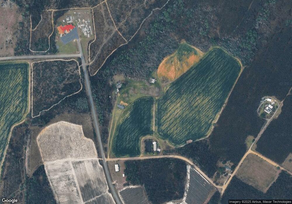
Map
Nearby Homes
- 0 Versie Aldridge Rd
- 288 Robin Rd
- 235 S Fork Dr
- 320 Bill Morris Rd
- 261 Colorado Rd
- 315 Crosby Chapel Rd
- 0 Oriole Rd Unit 1654653
- 0 Oriole Rd Unit 10543585
- 0 Oriole Rd Unit 23852171
- 0 Oriole Rd Unit 160930
- 907 N Pierce St
- 0 E 6th St Unit 114222
- 401 Lee St
- W 4th St
- 0 Lake Lure Dr
- 151 Lake Gloria Ln
- 4th Street
- Stewart Cemetery Rd
- 1109 W 4th Street Extension
- 117 Grace Loop Unit 1