132 Knightsbridge Rd Wynnewood, PA 19096
Lower Merion NeighborhoodEstimated Value: $2,393,286 - $2,723,000
5
Beds
7
Baths
6,582
Sq Ft
$392/Sq Ft
Est. Value
About This Home
This home is located at 132 Knightsbridge Rd, Wynnewood, PA 19096 and is currently estimated at $2,579,095, approximately $391 per square foot. 132 Knightsbridge Rd is a home located in Montgomery County with nearby schools including Penn Valley School, Welsh Valley Middle School, and Lower Merion High School.
Ownership History
Date
Name
Owned For
Owner Type
Purchase Details
Closed on
Jul 16, 2008
Sold by
Wurth Mark H and Wurth Amy R
Bought by
Benstock Michael and Benstock Elizabeth
Current Estimated Value
Home Financials for this Owner
Home Financials are based on the most recent Mortgage that was taken out on this home.
Original Mortgage
$1,000,000
Outstanding Balance
$658,084
Interest Rate
6.47%
Estimated Equity
$1,921,011
Purchase Details
Closed on
Aug 18, 2000
Sold by
Pennmark Management Company Inc
Bought by
Wurth Mark H and Wurth Amy R
Create a Home Valuation Report for This Property
The Home Valuation Report is an in-depth analysis detailing your home's value as well as a comparison with similar homes in the area
Home Values in the Area
Average Home Value in this Area
Purchase History
| Date | Buyer | Sale Price | Title Company |
|---|---|---|---|
| Benstock Michael | $2,085,000 | None Available | |
| Wurth Mark H | $1,216,000 | -- |
Source: Public Records
Mortgage History
| Date | Status | Borrower | Loan Amount |
|---|---|---|---|
| Open | Benstock Michael | $1,000,000 |
Source: Public Records
Tax History Compared to Growth
Tax History
| Year | Tax Paid | Tax Assessment Tax Assessment Total Assessment is a certain percentage of the fair market value that is determined by local assessors to be the total taxable value of land and additions on the property. | Land | Improvement |
|---|---|---|---|---|
| 2025 | $41,178 | $986,000 | -- | -- |
| 2024 | $41,178 | $986,000 | -- | -- |
| 2023 | $39,462 | $986,000 | $0 | $0 |
| 2022 | $38,730 | $986,000 | $0 | $0 |
| 2021 | $37,848 | $986,000 | $0 | $0 |
| 2020 | $36,924 | $986,000 | $0 | $0 |
| 2019 | $36,272 | $986,000 | $0 | $0 |
| 2018 | $36,272 | $986,000 | $0 | $0 |
| 2017 | $34,939 | $986,000 | $0 | $0 |
| 2016 | $34,555 | $986,000 | $0 | $0 |
| 2015 | $32,218 | $986,000 | $0 | $0 |
| 2014 | $32,218 | $986,000 | $0 | $0 |
Source: Public Records
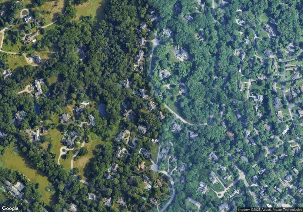
Map
Nearby Homes
- 30 Old Gulph Rd
- 226 Mcclenaghan Mill Rd
- 1334 Montgomery Ave Unit G-3
- 9 Hansen Ct
- 26 Old Gulph Rd
- 414 Mcclenaghan Mill Rd
- 521 Homewood Ave
- 222 E Montgomery Ave Unit 304
- 239 Old Gulph Rd
- 23 Sabine Ave
- 603 Old Gulph Rd
- 330 Dudley Ave
- 216 Laurel Ln
- 1968 W Montgomery Ave
- 314 Dudley Ave Unit 25
- 56 Crosby Brown Rd
- 103 W Montgomery Ave Unit 1A
- 302 Brentford Rd
- 264 W Montgomery Ave Unit 304
- 810 Merion Square Rd
- 136 Knightsbridge Rd
- 128 Knightsbridge Rd
- 526 S Sydbury Ln
- 525 S Sydbury Ln
- 127 Knightsbridge Rd
- 120 Knightsbridge Rd
- 737 Cherry Cir
- 140 Knightsbridge Rd
- 121 Knightsbridge Rd
- 524 S Sydbury Ln
- 733 Cherry Cir
- 741 Cherry Cir
- 145 Knightsbridge Rd
- 110 Knightsbridge Rd
- 144 Knightsbridge Rd
- 520 S Sydbury Ln
- 729 Cherry Cir
- 742 Cherry Cir
- 421 N Sydbury Ln
- 113 Knightsbridge Rd