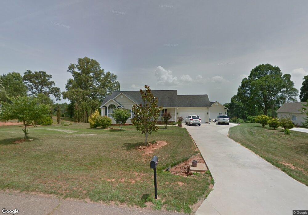
132 Linda Ln Mocksville, NC 27028
Estimated Value: $295,134 - $363,000
3
Beds
3
Baths
1,454
Sq Ft
$231/Sq Ft
Est. Value
About This Home
This home is located at 132 Linda Ln, Mocksville, NC 27028 and is currently estimated at $336,034, approximately $231 per square foot. 132 Linda Ln is a home located in Davie County with nearby schools including Cornatzer Elementary School, William Ellis Middle School, and Davie County High School.
Ownership History
Date
Name
Owned For
Owner Type
Purchase Details
Closed on
Jul 14, 2005
Sold by
Shuler Building Inc
Bought by
Firman Barton
Current Estimated Value
Home Financials for this Owner
Home Financials are based on the most recent Mortgage that was taken out on this home.
Original Mortgage
$154,800
Interest Rate
5.54%
Mortgage Type
New Conventional
Purchase Details
Closed on
Jul 1, 2003
Purchase Details
Closed on
Feb 1, 2002
Purchase Details
Closed on
May 1, 1996
Purchase Details
Closed on
Nov 1, 1985
Create a Home Valuation Report for This Property
The Home Valuation Report is an in-depth analysis detailing your home's value as well as a comparison with similar homes in the area
Home Values in the Area
Average Home Value in this Area
Purchase History
| Date | Buyer | Sale Price | Title Company |
|---|---|---|---|
| Firman Barton | $193,500 | No Name Avilabal | |
| -- | $17,000 | -- | |
| -- | -- | -- | |
| -- | -- | -- | |
| -- | -- | -- |
Source: Public Records
Mortgage History
| Date | Status | Borrower | Loan Amount |
|---|---|---|---|
| Closed | Firman Barton | $154,800 |
Source: Public Records
Tax History Compared to Growth
Tax History
| Year | Tax Paid | Tax Assessment Tax Assessment Total Assessment is a certain percentage of the fair market value that is determined by local assessors to be the total taxable value of land and additions on the property. | Land | Improvement |
|---|---|---|---|---|
| 2025 | $1,728 | $250,990 | $40,000 | $210,990 |
| 2024 | $1,503 | $194,480 | $20,000 | $174,480 |
| 2023 | $1,503 | $194,480 | $20,000 | $174,480 |
| 2022 | $1,503 | $194,480 | $20,000 | $174,480 |
| 2021 | $1,503 | $194,480 | $20,000 | $174,480 |
| 2020 | $1,480 | $190,230 | $20,000 | $170,230 |
| 2019 | $1,480 | $190,230 | $20,000 | $170,230 |
| 2018 | $1,480 | $190,230 | $20,000 | $170,230 |
| 2017 | $1,461 | $190,230 | $0 | $0 |
| 2016 | $1,498 | $195,030 | $0 | $0 |
| 2015 | $1,498 | $195,030 | $0 | $0 |
| 2014 | $1,287 | $195,030 | $0 | $0 |
| 2013 | -- | $195,030 | $0 | $0 |
Source: Public Records
Map
Nearby Homes
- 109 Marbrook Dr
- 280 Pete Foster Rd
- 150 Ariel Ct
- KYLE Plan at Hudson Glen
- BELHAVEN Plan at Hudson Glen
- PENWELL Plan at Hudson Glen
- HAYDEN Plan at Hudson Glen
- CALI Plan at Hudson Glen
- 137 Chessie Rd
- 168 Chessie Rd
- 170 Chessie Rd
- 173 Big Laurel Dr
- 160 Chessie Rd
- 176 Big Laurel Dr
- 166 Chessie Rd
- 194 Big Laurel Dr
- 192 Big Laurel Dr
- 190 Big Laurel Dr
- 191 Big Laurel Dr
- 193 Big Laurel Dr