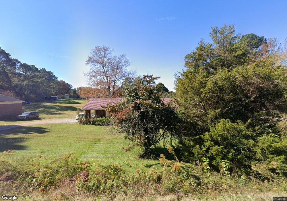
132 Maley Rd Lagrange, GA 30240
Estimated Value: $217,566 - $231,000
3
Beds
3
Baths
1,344
Sq Ft
$168/Sq Ft
Est. Value
About This Home
This home is located at 132 Maley Rd, Lagrange, GA 30240 and is currently estimated at $226,392, approximately $168 per square foot. 132 Maley Rd is a home located in Troup County with nearby schools including Long Cane Elementary School, Berta Weathersbee Elementary School, and Whitesville Road Elementary School.
Ownership History
Date
Name
Owned For
Owner Type
Purchase Details
Closed on
Nov 18, 1985
Sold by
Thompson John Lewis
Bought by
Nixon Charles R and Nixon Alesia
Current Estimated Value
Purchase Details
Closed on
Oct 22, 1975
Sold by
Sumner M C
Bought by
Thompson John Lewis
Purchase Details
Closed on
Mar 27, 1975
Sold by
Properties Ltd T and Properties Properties,Ltd M
Bought by
Sumner M C
Purchase Details
Closed on
Aug 6, 1974
Sold by
Greco Const Co
Bought by
Properties Ltd T and Properties Properties,Ltd M
Purchase Details
Closed on
Jan 1, 1972
Sold by
Teaver James
Bought by
Greco Const Co
Create a Home Valuation Report for This Property
The Home Valuation Report is an in-depth analysis detailing your home's value as well as a comparison with similar homes in the area
Purchase History
| Date | Buyer | Sale Price | Title Company |
|---|---|---|---|
| Nixon Charles R | $59,700 | -- | |
| Thompson John Lewis | $42,000 | -- | |
| Sumner M C | $4,000 | -- | |
| Properties Ltd T | -- | -- | |
| Greco Const Co | -- | -- |
Source: Public Records
Tax History
| Year | Tax Paid | Tax Assessment Tax Assessment Total Assessment is a certain percentage of the fair market value that is determined by local assessors to be the total taxable value of land and additions on the property. | Land | Improvement |
|---|---|---|---|---|
| 2025 | $1,739 | $80,280 | $10,000 | $70,280 |
| 2024 | $1,310 | $55,840 | $8,000 | $47,840 |
| 2023 | $1,296 | $55,320 | $8,000 | $47,320 |
| 2022 | $1,279 | $53,560 | $8,000 | $45,560 |
| 2021 | $1,178 | $46,800 | $8,000 | $38,800 |
| 2020 | $1,201 | $47,560 | $8,000 | $39,560 |
| 2019 | $1,054 | $42,688 | $6,048 | $36,640 |
| 2018 | $954 | $39,368 | $6,048 | $33,320 |
| 2017 | $954 | $39,368 | $6,048 | $33,320 |
| 2016 | $1,129 | $39,423 | $6,048 | $33,375 |
| 2015 | $1,131 | $39,423 | $6,048 | $33,375 |
| 2014 | $1,080 | $37,666 | $6,048 | $31,618 |
| 2013 | -- | $39,012 | $6,048 | $32,964 |
Source: Public Records
Map
Nearby Homes
- 112 Foxdale Dr
- 266 Glass Bridge Rd
- 124 Foxdale Dr
- 104 Bridlewood Dr
- 119 Plymouth Dr
- 135 Planters Ridge Dr
- 640 Hudson Rd
- 0 Glass Bridge Rd Unit 10679358
- 113 Colonial Ct Unit 100
- 311 Cumberland Dr
- 101 Ivy Springs Dr
- 124 Lincoln Ln
- 509 Connie Dr
- 474 Newton Rd
- 40 River Point Dr
- 808 S Fling Rd
- 4.5 ACRES Whatley Rd N
- 0 Deming St Unit 10550189
- 0 Salem Rd Tract 2 Unit 10675187
- 275 Hanson Dr
- 146 Maley Rd
- 112 Maley Rd
- 135 Maley Rd
- 100 Lakecrest Dr
- 101 Lakecrest Dr
- 125 Maley Rd
- 98 Maley Rd
- 115 Maley Rd
- 115 Maley Rd Unit 11
- 102 Lakecrest Dr
- 170 Maley Rd
- 103 Lakecrest Dr
- 84 Maley Rd
- 95 Maley Rd
- 202 Lakecrest Ct
- 85 Maley Rd
- 100 Westlake Dr
- 201 Lakecrest Ct
- 203 Lakecrest Ct Unit 9
- 105 Lakecrest Dr
Your Personal Tour Guide
Ask me questions while you tour the home.