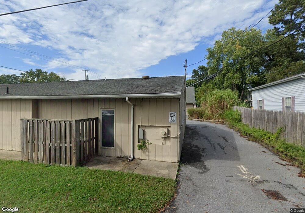
132 Mayo Rd Edgewater, MD 21037
Estimated Value: $598,753
Studio
--
Bath
2,243
Sq Ft
$267/Sq Ft
Est. Value
About This Home
This home is located at 132 Mayo Rd, Edgewater, MD 21037 and is currently estimated at $598,753, approximately $266 per square foot. 132 Mayo Rd is a home located in Anne Arundel County with nearby schools including Edgewater Elementary School, Central Middle School, and South River High School.
Ownership History
Date
Name
Owned For
Owner Type
Purchase Details
Closed on
Mar 1, 2022
Sold by
132 Mayo Llc
Bought by
Nj Holdings Llc
Current Estimated Value
Purchase Details
Closed on
Jun 30, 2021
Sold by
Jacobs Properties Llc
Bought by
132 Mayo Llc
Purchase Details
Closed on
Apr 19, 2000
Sold by
Lauer John B
Bought by
Jacobs Propertis Llc
Purchase Details
Closed on
Mar 19, 1999
Sold by
Lauer John B
Bought by
Lauer John B
Purchase Details
Closed on
Jun 9, 1986
Sold by
Mercier Charles
Bought by
Lauer John B
Home Financials for this Owner
Home Financials are based on the most recent Mortgage that was taken out on this home.
Original Mortgage
$95,000
Interest Rate
10.74%
Create a Home Valuation Report for This Property
The Home Valuation Report is an in-depth analysis detailing your home's value as well as a comparison with similar homes in the area
Home Values in the Area
Average Home Value in this Area
Purchase History
| Date | Buyer | Sale Price | Title Company |
|---|---|---|---|
| Nj Holdings Llc | $550,000 | None Listed On Document | |
| 132 Mayo Llc | $470,000 | Kvs Title Llc | |
| Jacobs Propertis Llc | $280,000 | -- | |
| Lauer John B | -- | -- | |
| Lauer John B | $127,000 | -- |
Source: Public Records
Mortgage History
| Date | Status | Borrower | Loan Amount |
|---|---|---|---|
| Previous Owner | Lauer John B | $95,000 |
Source: Public Records
Tax History
| Year | Tax Paid | Tax Assessment Tax Assessment Total Assessment is a certain percentage of the fair market value that is determined by local assessors to be the total taxable value of land and additions on the property. | Land | Improvement |
|---|---|---|---|---|
| 2025 | $6,311 | $531,400 | -- | -- |
| 2024 | $6,311 | $513,000 | $0 | $0 |
Source: Public Records
Map
Nearby Homes
- 1634 Elkridge Dr
- 1916 Ridgeville Rd
- 1923 Ridgeville Rd
- 1635 Fairhill Dr
- 254 Tilden Way
- 175 Tilden Way
- 68 Millhaven Ct Unit 168
- 330 Colony Point Place
- 1660 Bay Ridge Rd
- 1720 Fairhill Dr
- 75 Two Rivers Dr
- 3515 Cromarty Ln
- 70 Two Rivers Dr
- 1718 Millstone Dr
- 3757 Glebe Meadow Way
- 431 Hamlet Club Dr Unit 102
- 2311 Abby Rd
- 1713 Longwood Rd
- 1615 Ruxton Rd
- 1524 Mayfield Rd
Your Personal Tour Guide
Ask me questions while you tour the home.