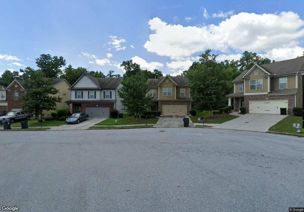
132 Mumsford Ct Union City, GA 30291
Estimated Value: $304,000 - $325,000
3
Beds
3
Baths
2,197
Sq Ft
$143/Sq Ft
Est. Value
About This Home
This home is located at 132 Mumsford Ct, Union City, GA 30291 and is currently estimated at $313,985, approximately $142 per square foot. 132 Mumsford Ct is a home located in Fulton County with nearby schools including Oakley Elementary School, Bear Creek Middle School, and Creekside High School.
Ownership History
Date
Name
Owned For
Owner Type
Purchase Details
Closed on
Jul 6, 2009
Sold by
Dr Horton Inc
Bought by
Brown Tenita D
Current Estimated Value
Home Financials for this Owner
Home Financials are based on the most recent Mortgage that was taken out on this home.
Original Mortgage
$158,578
Outstanding Balance
$101,213
Interest Rate
4.88%
Mortgage Type
New Conventional
Estimated Equity
$212,772
Create a Home Valuation Report for This Property
The Home Valuation Report is an in-depth analysis detailing your home's value as well as a comparison with similar homes in the area
Home Values in the Area
Average Home Value in this Area
Purchase History
| Date | Buyer | Sale Price | Title Company |
|---|---|---|---|
| Brown Tenita D | $158,600 | -- |
Source: Public Records
Mortgage History
| Date | Status | Borrower | Loan Amount |
|---|---|---|---|
| Open | Brown Tenita D | $158,578 |
Source: Public Records
Tax History Compared to Growth
Tax History
| Year | Tax Paid | Tax Assessment Tax Assessment Total Assessment is a certain percentage of the fair market value that is determined by local assessors to be the total taxable value of land and additions on the property. | Land | Improvement |
|---|---|---|---|---|
| 2025 | $1,821 | $126,360 | $24,880 | $101,480 |
| 2023 | $3,449 | $122,200 | $20,360 | $101,840 |
| 2022 | $1,696 | $82,320 | $12,880 | $69,440 |
| 2021 | $1,665 | $79,920 | $12,480 | $67,440 |
| 2020 | $1,618 | $64,160 | $5,600 | $58,560 |
| 2019 | $1,538 | $57,480 | $4,920 | $52,560 |
| 2018 | $1,395 | $52,360 | $4,840 | $47,520 |
| 2017 | $1,498 | $53,840 | $7,960 | $45,880 |
| 2016 | $1,497 | $53,840 | $7,960 | $45,880 |
| 2015 | $1,502 | $53,840 | $7,960 | $45,880 |
| 2014 | $1,207 | $45,720 | $6,200 | $39,520 |
Source: Public Records
Map
Nearby Homes
- 128 Mumsford Ct
- 136 Mumsford Ct
- 136 Mumsford Ct Unit 1
- 124 Mumsford Ct
- 139 Mumsford Ct
- 120 Mumsford Ct
- 131 Mumsford Ct
- 116 Mumsford Ct
- 127 Mumsford Ct
- 123 Mumsford Ct
- 0 Mumsford Ct Unit 7418917
- 0 Mumsford Ct Unit 7023780
- 0 Mumsford Ct Unit 3239671
- 0 Mumsford Ct Unit 8576418
- 0 Mumsford Ct Unit 7576304
- 0 Mumsford Ct Unit 8226512
- 0 Mumsford Ct Unit 7258718
- 0 Mumsford Ct Unit 8907015
- 112 Mumsford Ct
- 119 Mumsford Ct