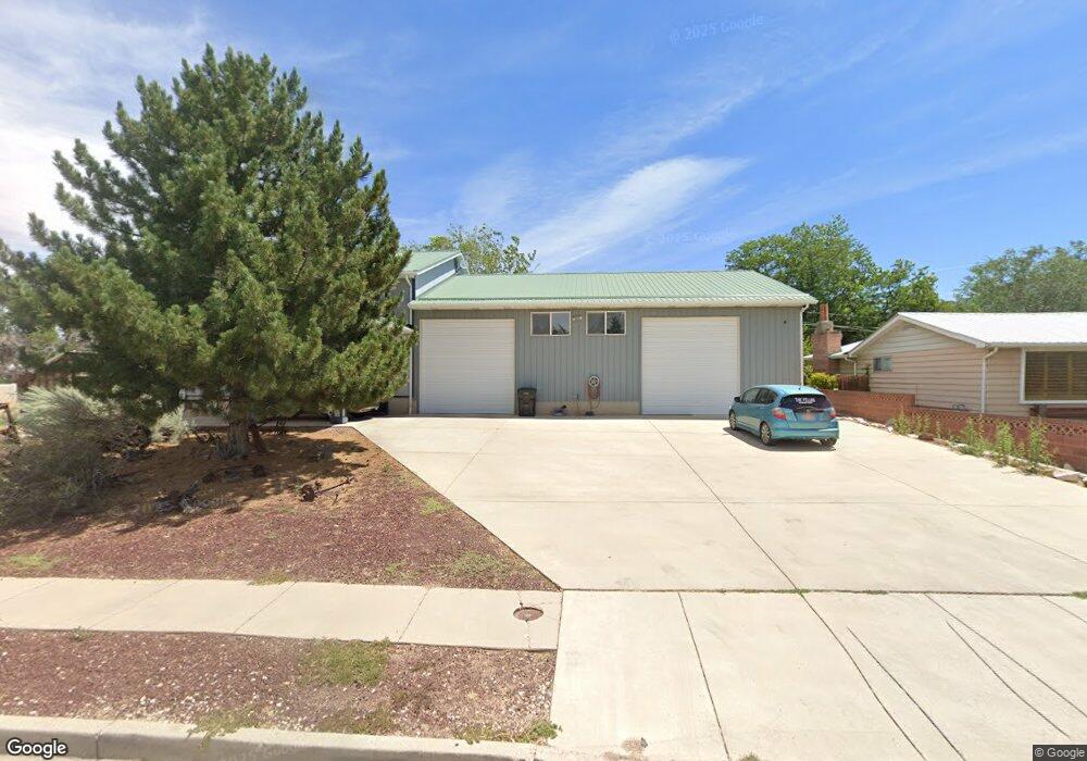
132 N 1225 W Cedar City, UT 84720
Estimated Value: $312,000 - $675,000
--
Bed
--
Bath
--
Sq Ft
0.36
Acres
About This Home
This home is located at 132 N 1225 W, Cedar City, UT 84720 and is currently estimated at $506,140. 132 N 1225 W is a home located in Iron County with nearby schools including Cedar North School, Cedar Middle School, and Cedar City High School.
Ownership History
Date
Name
Owned For
Owner Type
Purchase Details
Closed on
Jan 24, 2022
Sold by
Samuel Neil Gentry Revocable Living Trus
Bought by
Gentry Samuel Brantz and Robinson Michon
Current Estimated Value
Purchase Details
Closed on
Aug 24, 2007
Sold by
Gentry Samuel Neil
Bought by
Gentry Samuel Neil
Purchase Details
Closed on
May 2, 2007
Sold by
Gentry Samuel Nell
Bought by
Gentry Samuel Neil
Purchase Details
Closed on
Oct 31, 2006
Sold by
Gentry Samuel Neil
Bought by
Gentry Samuel Neil
Purchase Details
Closed on
May 2, 2006
Sold by
Gentry Samuel Neil
Bought by
Gentry Samuel Neil
Create a Home Valuation Report for This Property
The Home Valuation Report is an in-depth analysis detailing your home's value as well as a comparison with similar homes in the area
Home Values in the Area
Average Home Value in this Area
Purchase History
| Date | Buyer | Sale Price | Title Company |
|---|---|---|---|
| Gentry Samuel Brantz | -- | Cedar Land Title | |
| Gentry Samuel Neil | -- | -- | |
| Gentry Samuel Neil | -- | -- | |
| Gentry Samuel Neil | -- | -- | |
| Gentry Samuel Neil | -- | -- | |
| Gentry Samuel Neil | -- | -- |
Source: Public Records
Tax History Compared to Growth
Tax History
| Year | Tax Paid | Tax Assessment Tax Assessment Total Assessment is a certain percentage of the fair market value that is determined by local assessors to be the total taxable value of land and additions on the property. | Land | Improvement |
|---|---|---|---|---|
| 2025 | $2,426 | $311,862 | $64,235 | $247,627 |
| 2023 | $2,348 | $442,330 | $53,530 | $388,800 |
| 2022 | $3,659 | $398,060 | $44,605 | $353,455 |
| 2021 | $2,702 | $293,935 | $21,240 | $272,695 |
| 2020 | $2,323 | $224,030 | $21,240 | $202,790 |
| 2019 | $2,236 | $206,270 | $21,240 | $185,030 |
| 2018 | $2,311 | $206,270 | $21,240 | $185,030 |
| 2017 | $2,141 | $188,160 | $19,335 | $168,825 |
| 2016 | $1,955 | $159,975 | $18,390 | $141,585 |
| 2015 | $2,070 | $160,565 | $0 | $0 |
| 2014 | $1,813 | $131,590 | $0 | $0 |
Source: Public Records
Map
Nearby Homes
- 1225 W Harding Ave Unit 8
- 240 N 1400 W
- 0 1 Af Water (Wr # 73-999) Unit 25-265506
- 272 N 1500 W
- 119 N 800 W Unit Building A
- 119 & 141 N 800 W Unit B
- 1652 W Harding Ave
- 325 N 1500 W
- 1770 W Harding Ave
- 364 N 1500 W
- 374 N 1500 W
- 6333 N 1600 W
- 4961 N 900 W Unit lot 68
- 1120 Bulloch Cir
- 53 N Aime Ave
- 465 N 800 W Unit 3
- 465 N 800 W Unit 7
- 465 N 800 W Unit 2
- 101 N 1850 W Unit 35
- 1.75 Acres 200 North Corner Lot Unit Zoned Commercial