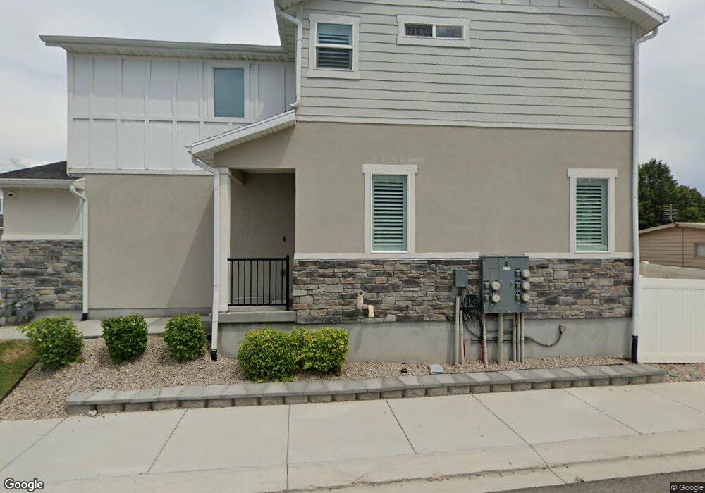
132 N 450 W American Fork, UT 84003
Estimated Value: $443,000 - $478,063
3
Beds
3
Baths
2,317
Sq Ft
$200/Sq Ft
Est. Value
About This Home
This home is located at 132 N 450 W, American Fork, UT 84003 and is currently estimated at $462,766, approximately $199 per square foot. 132 N 450 W is a home located in Utah County with nearby schools including American Fork Junior High School, American Fork High School, and Athenian eAcademy.
Ownership History
Date
Name
Owned For
Owner Type
Purchase Details
Closed on
Aug 31, 2023
Sold by
Alfaro Erick F
Bought by
Alfaro Erick F and Ortega Lilana Martinez
Current Estimated Value
Purchase Details
Closed on
Apr 18, 2021
Sold by
Gillespie Caleb W and Gillespie Mckenna
Bought by
Alfaro Erick F
Home Financials for this Owner
Home Financials are based on the most recent Mortgage that was taken out on this home.
Original Mortgage
$385,881
Interest Rate
3.1%
Mortgage Type
FHA
Purchase Details
Closed on
Apr 18, 2018
Sold by
Gillespie Caleb W
Bought by
Gillespie Caleb W and Gillespie Mckenna
Home Financials for this Owner
Home Financials are based on the most recent Mortgage that was taken out on this home.
Original Mortgage
$239,090
Interest Rate
4.46%
Mortgage Type
New Conventional
Create a Home Valuation Report for This Property
The Home Valuation Report is an in-depth analysis detailing your home's value as well as a comparison with similar homes in the area
Home Values in the Area
Average Home Value in this Area
Purchase History
| Date | Buyer | Sale Price | Title Company |
|---|---|---|---|
| Alfaro Erick F | -- | Advanced Title | |
| Alfaro Erick F | -- | Oasis Title Llc | |
| Gillespie Caleb W | -- | Accommodation | |
| Gillespie Caleb W | -- | Surety Title Agency |
Source: Public Records
Mortgage History
| Date | Status | Borrower | Loan Amount |
|---|---|---|---|
| Previous Owner | Alfaro Erick F | $385,881 | |
| Previous Owner | Gillespie Caleb W | $239,090 |
Source: Public Records
Tax History Compared to Growth
Tax History
| Year | Tax Paid | Tax Assessment Tax Assessment Total Assessment is a certain percentage of the fair market value that is determined by local assessors to be the total taxable value of land and additions on the property. | Land | Improvement |
|---|---|---|---|---|
| 2025 | $2,199 | $240,075 | $64,200 | $372,300 |
| 2024 | $2,199 | $244,310 | $0 | $0 |
| 2023 | $2,030 | $239,085 | $0 | $0 |
| 2022 | $2,128 | $247,335 | $0 | $0 |
| 2021 | $1,744 | $316,600 | $47,500 | $269,100 |
| 2020 | $1,728 | $304,400 | $45,700 | $258,700 |
| 2019 | $1,532 | $279,100 | $41,900 | $237,200 |
| 2018 | $760 | $132,300 | $35,000 | $97,300 |
| 2017 | $479 | $45,000 | $0 | $0 |
Source: Public Records
Map
Nearby Homes
- 399 W Pacific Dr
- 120 N 350 W Unit 133
- 120 N 350 W Unit 130
- 370 W Pacific Dr Unit 1
- 217 W Main St
- 356 N 480 W
- 55 Roosevelt Ave
- 82 S Lincoln Ave
- 351 Washington Ave
- 129 W Pacific Dr
- 105 N 100 W
- 55 S 200 W
- 540 N 300 W
- 365 N 100 W
- 641 N 420 W
- 271 S Barratt Cir
- 382 W 330 S
- 304 S 680 W
- 374 N Center St
- 334 S 680 W
- 128 N 450 W
- 134 N 450 W
- 136 N 450 W
- 138 N 450 St W
- 455 W Green Spring Way
- 146 N 450 St W
- 142 N 450 W
- 144 N 450 W
- 459 W Green Spring Way
- 152 N 450 W
- 463 W Green Spring Way
- 153 N 450 W
- 467 W Green Spring Way
- 155 N 450 W
- 471 W Green Spring Way
- 157 N 450 W
- 464 W Green Spring Way
- 159 N 450 W
- 466 W Green Spring Way Unit 11E
- 468 W Green Spring Way