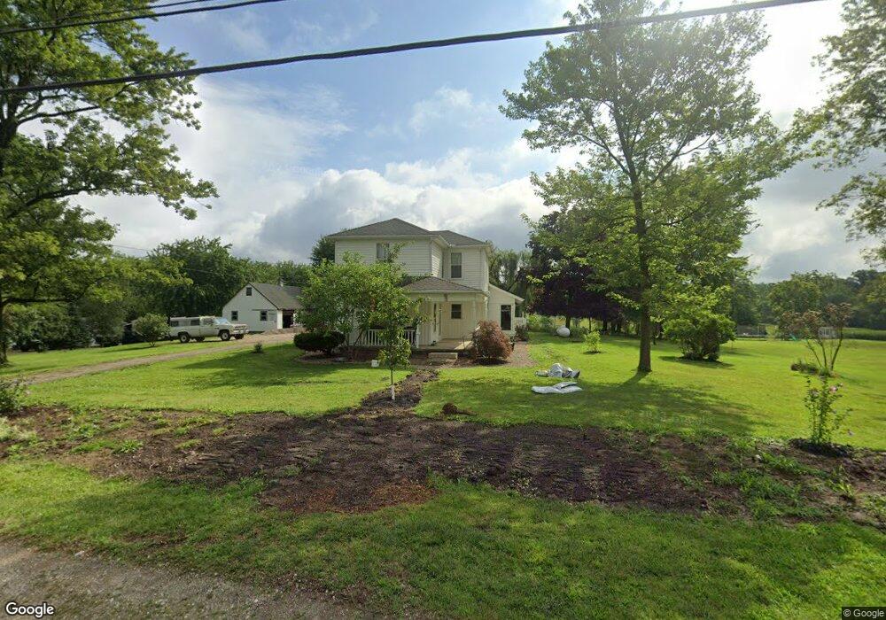
132 N Main St Ostrander, OH 43061
Scioto NeighborhoodEstimated Value: $386,000
4
Beds
1
Bath
1,912
Sq Ft
$202/Sq Ft
Est. Value
About This Home
This home is located at 132 N Main St, Ostrander, OH 43061 and is currently priced at $386,000, approximately $201 per square foot. 132 N Main St is a home located in Delaware County with nearby schools including Buckeye Valley High School.
Ownership History
Date
Name
Owned For
Owner Type
Purchase Details
Closed on
Aug 10, 2020
Sold by
Crile Larry R and Crile Linda
Bought by
Crile Larry R and Crile Linda
Current Estimated Value
Home Financials for this Owner
Home Financials are based on the most recent Mortgage that was taken out on this home.
Original Mortgage
$150,000
Interest Rate
2.9%
Mortgage Type
New Conventional
Purchase Details
Closed on
Aug 3, 2005
Sold by
Piper Brian L and Deason Constance C
Bought by
Crile Larry R and Crile Linda
Create a Home Valuation Report for This Property
The Home Valuation Report is an in-depth analysis detailing your home's value as well as a comparison with similar homes in the area
Home Values in the Area
Average Home Value in this Area
Purchase History
| Date | Buyer | Sale Price | Title Company |
|---|---|---|---|
| Crile Larry R | -- | None Available | |
| Crile Larry R | $105,000 | -- |
Source: Public Records
Mortgage History
| Date | Status | Borrower | Loan Amount |
|---|---|---|---|
| Closed | Crile Larry R | $150,000 |
Source: Public Records
Tax History
| Year | Tax Paid | Tax Assessment Tax Assessment Total Assessment is a certain percentage of the fair market value that is determined by local assessors to be the total taxable value of land and additions on the property. | Land | Improvement |
|---|---|---|---|---|
| 2020 | $2,781 | $67,100 | $23,100 | $44,000 |
| 2019 | $1,814 | $44,350 | $19,250 | $25,100 |
| 2018 | $1,446 | $34,900 | $19,250 | $15,650 |
| 2017 | $1,391 | $35,080 | $17,120 | $17,960 |
| 2016 | $1,370 | $35,080 | $17,120 | $17,960 |
| 2015 | $1,445 | $35,080 | $17,120 | $17,960 |
| 2014 | $1,394 | $35,080 | $17,120 | $17,960 |
| 2013 | $1,415 | $35,080 | $17,120 | $17,960 |
Source: Public Records
Map
Nearby Homes
- 101 S Main St
- 0 E High St Unit Tract 1 225034753
- 0 E High St Unit Tract 4 225034758
- 0 E High St Unit Tract 3 225034757
- 187 Long Trail
- 311 Ben Curtis Dr
- 3480 Ostrander Rd
- 0 Dean Rd Unit 225032132
- 0 Dean Rd Unit 225032131
- 231 Bluegrass Way
- 535 Brayshaw Dr
- 10156 Marysville Rd
- 5586 Taylor Rd
- 0 Carr Rd Unit 225016840
- 0 Burnt Pond Rd Unit Tract 2
- 0 Burnt Pond Rd Unit Tract 4
- 0 Burnt Pond Rd Unit Tract 5
- 15319 Fish Rd
- 0 Ohio 257 Unit Lot 2
- 0 Ohio 257 Unit Lot 1
- 0 N Main St Unit Lot 1 214047340
- 0 N Main St Unit Lot 3 214047350
- 0 N Main St Unit Lot 2
- 150 N Main St
- 135 N Main St
- 129 N Main St
- 100 N Main St
- 113 N Main St
- 171 N Main St
- 93 N Main St
- 180 N Main St
- 47 Loveless St
- 185 N Main St
- 42 Hill St
- 40 Loveless St
- 73 N Main St
- 59 Loveless St
- 201 N Main St
- 62 Hill St
- 58 Loveless St
Your Personal Tour Guide
Ask me questions while you tour the home.