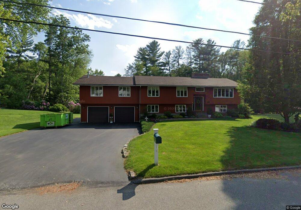
132 Nottingham Rd Dracut, MA 01826
Estimated Value: $722,000 - $842,000
3
Beds
3
Baths
2,232
Sq Ft
$348/Sq Ft
Est. Value
About This Home
This home is located at 132 Nottingham Rd, Dracut, MA 01826 and is currently estimated at $775,986, approximately $347 per square foot. 132 Nottingham Rd is a home located in Middlesex County with nearby schools including George H. Englesby Elementary School, Richardson Middle School, and Dracut Senior High School.
Ownership History
Date
Name
Owned For
Owner Type
Purchase Details
Closed on
May 16, 2014
Sold by
Swerchesky Thomas P and Swerchesky Donna M
Bought by
Swerchesky Ft
Current Estimated Value
Purchase Details
Closed on
Jul 27, 1977
Bought by
Deschenes Heatheer A
Create a Home Valuation Report for This Property
The Home Valuation Report is an in-depth analysis detailing your home's value as well as a comparison with similar homes in the area
Home Values in the Area
Average Home Value in this Area
Purchase History
| Date | Buyer | Sale Price | Title Company |
|---|---|---|---|
| Swerchesky Ft | -- | -- | |
| Deschenes Heatheer A | -- | -- |
Source: Public Records
Mortgage History
| Date | Status | Borrower | Loan Amount |
|---|---|---|---|
| Previous Owner | Deschenes Heatheer A | $95,000 | |
| Previous Owner | Deschenes Heatheer A | $40,000 | |
| Previous Owner | Deschenes Heatheer A | $49,000 |
Source: Public Records
Tax History
| Year | Tax Paid | Tax Assessment Tax Assessment Total Assessment is a certain percentage of the fair market value that is determined by local assessors to be the total taxable value of land and additions on the property. | Land | Improvement |
|---|---|---|---|---|
| 2025 | $7,583 | $749,300 | $217,600 | $531,700 |
| 2024 | $7,865 | $752,600 | $207,200 | $545,400 |
| 2023 | $7,925 | $684,400 | $180,100 | $504,300 |
| 2022 | $7,345 | $597,600 | $163,700 | $433,900 |
| 2021 | $7,097 | $545,500 | $148,700 | $396,800 |
| 2020 | $6,623 | $496,100 | $144,300 | $351,800 |
| 2019 | $4,654 | $453,100 | $137,400 | $315,700 |
| 2018 | $5,030 | $421,800 | $137,400 | $284,400 |
| 2017 | $5,662 | $421,800 | $137,400 | $284,400 |
| 2016 | $5,519 | $371,900 | $132,100 | $239,800 |
| 2015 | $5,291 | $354,400 | $132,100 | $222,300 |
| 2014 | $5,027 | $346,900 | $132,100 | $214,800 |
Source: Public Records
Map
Nearby Homes
- 17 Spare St
- 1905 Lakeview Ave
- 9 Cornstalk Ln
- 29 Mill St Unit B
- 53 Vinal St
- 83 Turgeon Ave
- 13 Dallas Dr Unit 305
- 13 Dallas Dr Unit 107
- 43 & 53 5th St
- 154 New Boston Rd
- 124 Tennis Plaza Rd Unit 40
- 74 Tennis Plaza Rd Unit 34
- 94 Tennis Plaza Rd Unit 10
- 42 Frederick St Unit 9
- 91 Frederick St Unit 77
- 4 Wilshire Ln Unit 4
- 4 Wilshire Ln
- 6 Wilshire Ln Unit 6
- 9 Arbor Dr
- 70 Faith Ave
- 142 Nottingham Rd
- 120 Nottingham Rd
- 127 Nottingham Rd
- 117 Nottingham Rd
- 110 Nottingham Rd
- 137 Nottingham Rd
- 156 Nottingham Rd
- 107 Nottingham Rd
- 100 Nottingham Rd
- 97 Nottingham Rd
- 147 Nottingham Rd
- 16 Adams Rd
- 24 Adams Rd
- 4 Beaver Brook Ln
- 8 Adams Rd
- 19 Oxford Rd
- 32 Adams Rd
- 83 Mullen Ln
- 12 Beaver Brook Ln
- 7 Oxford Rd
Your Personal Tour Guide
Ask me questions while you tour the home.