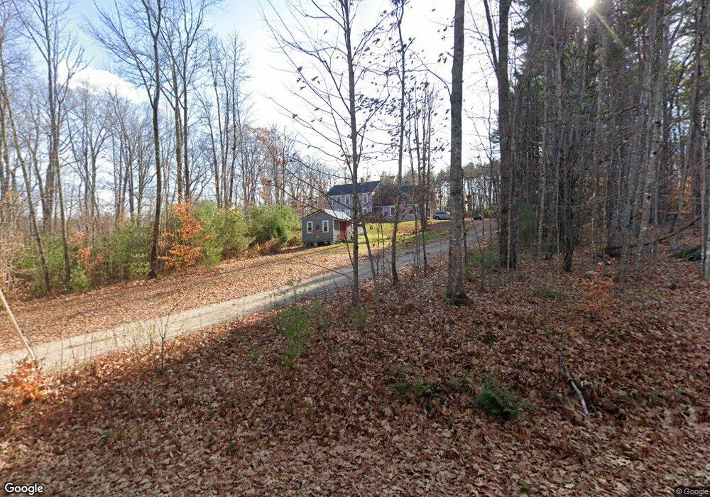
132 Old High Rd Cornish, ME 04020
Estimated Value: $423,000 - $531,705
3
Beds
3
Baths
2,482
Sq Ft
$193/Sq Ft
Est. Value
About This Home
This home is located at 132 Old High Rd, Cornish, ME 04020 and is currently estimated at $480,235, approximately $193 per square foot. 132 Old High Rd is a home.
Ownership History
Date
Name
Owned For
Owner Type
Purchase Details
Closed on
Jun 28, 2013
Sold by
Allen Paul
Bought by
Allen Paul H and Anderson Stacey L
Current Estimated Value
Purchase Details
Closed on
Mar 5, 2012
Sold by
Bakiewicz Dorothy J and Harrington Dodd
Bought by
Allen Paul
Create a Home Valuation Report for This Property
The Home Valuation Report is an in-depth analysis detailing your home's value as well as a comparison with similar homes in the area
Home Values in the Area
Average Home Value in this Area
Purchase History
| Date | Buyer | Sale Price | Title Company |
|---|---|---|---|
| Allen Paul H | -- | -- | |
| Allen Paul H | -- | -- | |
| Allen Paul | $35,000 | -- | |
| Allen Paul | $35,000 | -- |
Source: Public Records
Tax History
| Year | Tax Paid | Tax Assessment Tax Assessment Total Assessment is a certain percentage of the fair market value that is determined by local assessors to be the total taxable value of land and additions on the property. | Land | Improvement |
|---|---|---|---|---|
| 2025 | $4,037 | $427,200 | $80,900 | $346,300 |
| 2024 | $4,368 | $474,800 | $77,100 | $397,700 |
| 2023 | $4,284 | $299,600 | $44,800 | $254,800 |
| 2022 | $4,134 | $299,600 | $44,800 | $254,800 |
| 2021 | $4,045 | $299,600 | $44,800 | $254,800 |
| 2020 | $4,015 | $299,600 | $44,800 | $254,800 |
| 2019 | $514 | $299,600 | $44,800 | $254,800 |
| 2018 | $4,045 | $299,600 | $44,800 | $254,800 |
| 2016 | $3,862 | $299,600 | $44,800 | $254,800 |
| 2015 | $3,898 | $302,200 | $44,800 | $257,400 |
| 2014 | $3,933 | $304,900 | $44,800 | $260,100 |
Source: Public Records
Map
Nearby Homes
- Lot #8 Jordan Heights Rd
- Lot #2 Jordan Heights Rd
- Lot #3 Jordan Heights Rd
- Lot #4 Jordan Heights Rd
- 96 Maple St
- 20 Main St
- 4 Bridge St
- 6-13 Main St
- TBD Sokokis Trail N
- 490 S Hiram Rd
- 0 Durgintown Rd
- 1384 Cape Rd
- 5 Kimball Hill Rd
- 992 Pequawket Trail
- 198 Senator Black Rd
- 50AC Sawyer Mountain Rd
- R13/038 Weeks Rd
- 761 Pendexter Rd
- 174 Marston Rd
- 12 Main St
- 122 Old High Rd
- 144 Old High Rd
- 107 Old High Rd
- Lot 29B Old High Rd
- 0 Anderson Dr
- 141 Old High Rd
- 0 Echo Ridge Unit 856336
- 0 Echo Ridge Unit 783698
- 0 Echo Ridge Unit 780754
- 0 Echo Ridge Unit 882107
- 40 Echo Ridge Dr
- 40 Echo Ridge Rd
- 161 Old High Rd
- Lot #11 Jordan Heights Rd
- 162 Old High Rd
- Lot 034A Echo Ridge
- Lot 34B Echo Ridge
- 151 Old High Rd
- 10 Underhill Rd
- 89 Old High Rd
Your Personal Tour Guide
Ask me questions while you tour the home.