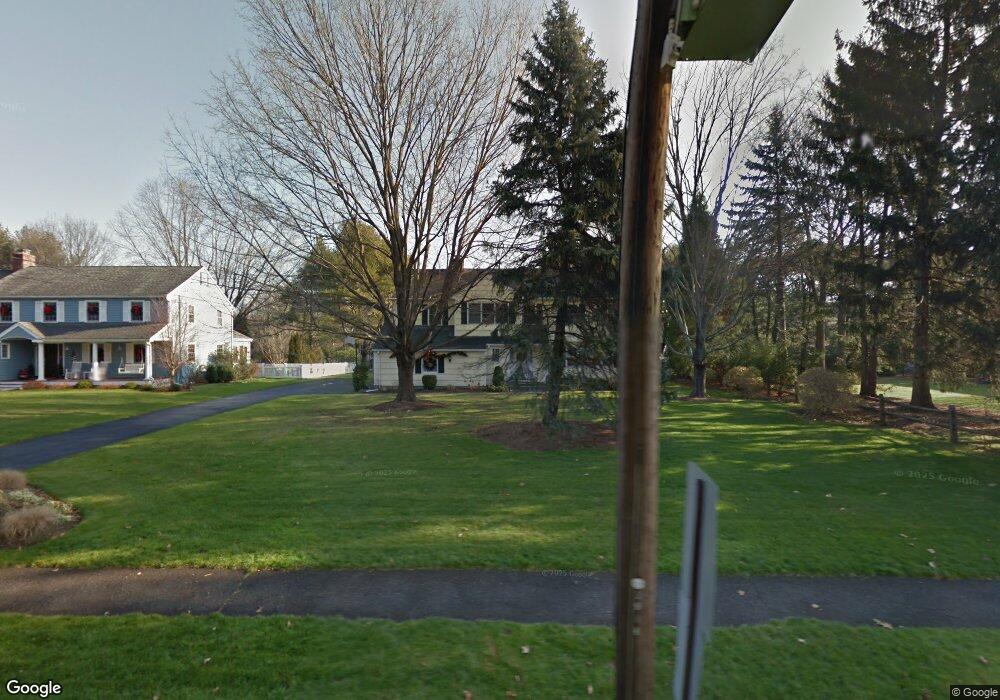
132 Raymond St Darien, CT 06820
Estimated Value: $2,028,776 - $2,399,000
4
Beds
4
Baths
3,207
Sq Ft
$679/Sq Ft
Est. Value
About This Home
This home is located at 132 Raymond St, Darien, CT 06820 and is currently estimated at $2,178,694, approximately $679 per square foot. 132 Raymond St is a home located in Fairfield County with nearby schools including Tokeneke Elementary School, Middlesex Middle School, and Darien High School.
Ownership History
Date
Name
Owned For
Owner Type
Purchase Details
Closed on
Apr 29, 2014
Sold by
Bergen Henry M and Bergen Concetta F
Bought by
Bergen Tr Henry M and Bergen Concetta F
Current Estimated Value
Purchase Details
Closed on
Jul 17, 1989
Sold by
Hargreaves Paul
Bought by
Bergen Henry
Home Financials for this Owner
Home Financials are based on the most recent Mortgage that was taken out on this home.
Original Mortgage
$187,699
Interest Rate
10.39%
Create a Home Valuation Report for This Property
The Home Valuation Report is an in-depth analysis detailing your home's value as well as a comparison with similar homes in the area
Home Values in the Area
Average Home Value in this Area
Purchase History
| Date | Buyer | Sale Price | Title Company |
|---|---|---|---|
| Bergen Tr Henry M | -- | -- | |
| Bergen Henry | $403,500 | -- |
Source: Public Records
Mortgage History
| Date | Status | Borrower | Loan Amount |
|---|---|---|---|
| Open | Bergen Henry | $250,000 | |
| Previous Owner | Bergen Henry | $187,699 |
Source: Public Records
Tax History Compared to Growth
Tax History
| Year | Tax Paid | Tax Assessment Tax Assessment Total Assessment is a certain percentage of the fair market value that is determined by local assessors to be the total taxable value of land and additions on the property. | Land | Improvement |
|---|---|---|---|---|
| 2025 | $15,448 | $997,920 | $541,450 | $456,470 |
| 2024 | $14,659 | $997,920 | $541,450 | $456,470 |
| 2023 | $14,032 | $796,810 | $416,500 | $380,310 |
| 2022 | $13,729 | $796,810 | $416,500 | $380,310 |
| 2021 | $13,418 | $796,810 | $416,500 | $380,310 |
| 2020 | $13,036 | $796,810 | $416,500 | $380,310 |
| 2019 | $13,123 | $796,810 | $416,500 | $380,310 |
| 2018 | $12,369 | $769,230 | $392,000 | $377,230 |
| 2017 | $12,431 | $769,230 | $392,000 | $377,230 |
| 2016 | $12,131 | $769,230 | $392,000 | $377,230 |
| 2015 | $11,808 | $769,230 | $392,000 | $377,230 |
| 2014 | $11,546 | $769,230 | $392,000 | $377,230 |
Source: Public Records
Map
Nearby Homes
- 9 Arnold Ln
- 40 Arnold Ln
- 9 Hollow Spring Rd
- 133 Rowayton Woods Dr
- 17 Pine Brook Ln Unit 17
- 171 Rowayton Woods Dr Unit 171
- 209 Rowayton Ave
- 97 Richards Ave Unit B10
- 97 Richards Ave Unit E12
- 2 Rochelle Rd
- 166 Rowayton Ave Unit 2
- 3 Edgewood St
- 8 Michael St
- 20 Locust Hill Rd
- 22 Harstrom Place
- 24 Scribner Ave
- 12 Arbor Ct
- 10 Frances Ave
- 18 Tokeneke Trail
- 17 Paradiso St
- 136 Raymond St
- 2 Red Rose Cir
- 6 Red Rose Cir
- 48 Tulip Tree Ln
- 10 Red Rose Cir
- 131 Raymond St
- 140 Raymond St
- 14 Red Rose Cir
- 135 Raymond St
- 1 Red Rose Cir
- 133 Raymond St
- 1 Chasmars Pond Rd
- 20 Red Rose Cir
- 9 Red Rose Cir
- 44 Tulip Tree Ln
- 116 Raymond St
- 47 Tulip Tree Ln
- 137 Raymond St
- 40 Tulip Tree Ln
- 48 Red Rose Cir