132 Redtail Hawk Cir Sewell, NJ 08080
Deptford Township NeighborhoodEstimated Value: $449,944 - $563,000
--
Bed
--
Bath
2,112
Sq Ft
$238/Sq Ft
Est. Value
About This Home
This home is located at 132 Redtail Hawk Cir, Sewell, NJ 08080 and is currently estimated at $503,236, approximately $238 per square foot. 132 Redtail Hawk Cir is a home with nearby schools including Deptford Township High School.
Ownership History
Date
Name
Owned For
Owner Type
Purchase Details
Closed on
Sep 6, 2016
Sold by
Nvr Inc
Bought by
Villanueva Hester K and Villanueva Paul M
Current Estimated Value
Home Financials for this Owner
Home Financials are based on the most recent Mortgage that was taken out on this home.
Original Mortgage
$321,984
Outstanding Balance
$264,898
Interest Rate
4.4%
Mortgage Type
FHA
Estimated Equity
$238,338
Purchase Details
Closed on
May 11, 2016
Sold by
Nova Properties Of New Jersey Llc
Bought by
Nvr Inc
Create a Home Valuation Report for This Property
The Home Valuation Report is an in-depth analysis detailing your home's value as well as a comparison with similar homes in the area
Home Values in the Area
Average Home Value in this Area
Purchase History
| Date | Buyer | Sale Price | Title Company |
|---|---|---|---|
| Villanueva Hester K | $327,925 | Legacy Title Agency Llc | |
| Nvr Inc | $85,694 | First American Title Ins Co |
Source: Public Records
Mortgage History
| Date | Status | Borrower | Loan Amount |
|---|---|---|---|
| Open | Villanueva Hester K | $321,984 |
Source: Public Records
Tax History Compared to Growth
Tax History
| Year | Tax Paid | Tax Assessment Tax Assessment Total Assessment is a certain percentage of the fair market value that is determined by local assessors to be the total taxable value of land and additions on the property. | Land | Improvement |
|---|---|---|---|---|
| 2025 | $9,590 | $267,500 | $41,900 | $225,600 |
| 2024 | $9,282 | $267,500 | $41,900 | $225,600 |
| 2023 | $9,282 | $267,500 | $41,900 | $225,600 |
| 2022 | $9,215 | $267,500 | $41,900 | $225,600 |
| 2021 | $9,084 | $267,500 | $41,900 | $225,600 |
| 2020 | $8,980 | $267,500 | $41,900 | $225,600 |
| 2019 | $8,809 | $267,500 | $41,900 | $225,600 |
| 2018 | $8,611 | $267,500 | $41,900 | $225,600 |
| 2017 | $8,381 | $267,500 | $41,900 | $225,600 |
| 2016 | $644 | $21,000 | $21,000 | $0 |
| 2015 | $625 | $21,000 | $21,000 | $0 |
| 2014 | $608 | $21,000 | $21,000 | $0 |
Source: Public Records
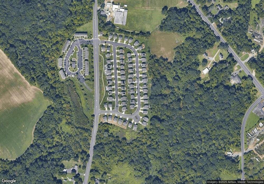
Map
Nearby Homes
- 795 Fox Run Rd
- 14 Margaret Ave
- 1845 Delsea Dr
- 1831 Delsea Dr
- 41 Fleming Ave
- 221 Woodcreek Rd
- 100 Fairmount St
- 118 Bock Ave
- 100 Fernshire Ct
- 183 Lincoln Rd
- 242 Tall Pines Dr
- 975 Lindsey Dr
- 0 Glassboro Rd
- 134 Carver Dr
- 1008 Jericho Ln
- 853 Mail Ave
- 103 Wycombe Ave
- 24 Sturbridge Ave
- 101 Wycombe Ave
- 106 Shelly Ln
- 130 Redtail Hawk Cir
- 134 Redtail Hawk Cir
- 138 Redtail Hawk Cir
- 211 Blue Jay Ln
- 201 Blue Jay Ln
- 221 Blue Jay Ln
- 215 Blue Jay Ln
- 206 Blue Jay Ln
- 220 Blue Jay Ln
- 207 Blue Jay Ln
- 128 Redtail Hawk Cir
- 136 Redtail Hawk Cir
- 214 Blue Jay Ln
- 218 Blue Jay Ln
- 209 Blue Jay Ln
- 203 Blue Jay Ln
- 208 Blue Jay Ln
- 210 Blue Jay Ln
- 212 Blue Jay Ln
- 216 Blue Jay Ln