132 Rolling Acres Ln Hillsboro, MO 63050
Estimated Value: $145,000 - $300,000
--
Bed
1
Bath
1,196
Sq Ft
$197/Sq Ft
Est. Value
About This Home
This home is located at 132 Rolling Acres Ln, Hillsboro, MO 63050 and is currently estimated at $235,913, approximately $197 per square foot. 132 Rolling Acres Ln is a home located in Jefferson County with nearby schools including Hillsboro Elementary School, Hillsboro Primary School, and Hillsboro Middle Elementary School.
Ownership History
Date
Name
Owned For
Owner Type
Purchase Details
Closed on
Dec 19, 2024
Sold by
Cope Eric and Cope Vicki
Bought by
Silvey Jeff
Current Estimated Value
Purchase Details
Closed on
Dec 2, 2024
Sold by
Cope Lesley
Bought by
Silvey Jeff
Purchase Details
Closed on
Feb 23, 2019
Sold by
Silvey Merea and Silvey Jeff
Bought by
Silvey Jeff and Silvey Merea
Create a Home Valuation Report for This Property
The Home Valuation Report is an in-depth analysis detailing your home's value as well as a comparison with similar homes in the area
Home Values in the Area
Average Home Value in this Area
Purchase History
| Date | Buyer | Sale Price | Title Company |
|---|---|---|---|
| Silvey Jeff | -- | None Listed On Document | |
| Silvey Jeff | -- | None Listed On Document | |
| Silvey Jeff | -- | None Listed On Document | |
| Silvey Jeff | -- | None Listed On Document | |
| Silvey Jeff | -- | None Available |
Source: Public Records
Tax History Compared to Growth
Tax History
| Year | Tax Paid | Tax Assessment Tax Assessment Total Assessment is a certain percentage of the fair market value that is determined by local assessors to be the total taxable value of land and additions on the property. | Land | Improvement |
|---|---|---|---|---|
| 2025 | $1,411 | $25,100 | $3,200 | $21,900 |
| 2024 | $1,411 | $23,400 | $3,200 | $20,200 |
| 2023 | $1,411 | $23,000 | $3,200 | $19,800 |
| 2022 | $1,395 | $23,000 | $3,200 | $19,800 |
| 2021 | $1,498 | $23,000 | $3,200 | $19,800 |
| 2020 | $1,371 | $20,400 | $2,700 | $17,700 |
| 2019 | $1,369 | $20,400 | $2,700 | $17,700 |
| 2018 | $1,372 | $20,400 | $2,700 | $17,700 |
| 2017 | $1,305 | $20,400 | $2,700 | $17,700 |
| 2016 | $1,270 | $19,000 | $2,700 | $16,300 |
| 2015 | $1,260 | $19,000 | $2,700 | $16,300 |
| 2013 | $1,260 | $18,800 | $2,500 | $16,300 |
Source: Public Records
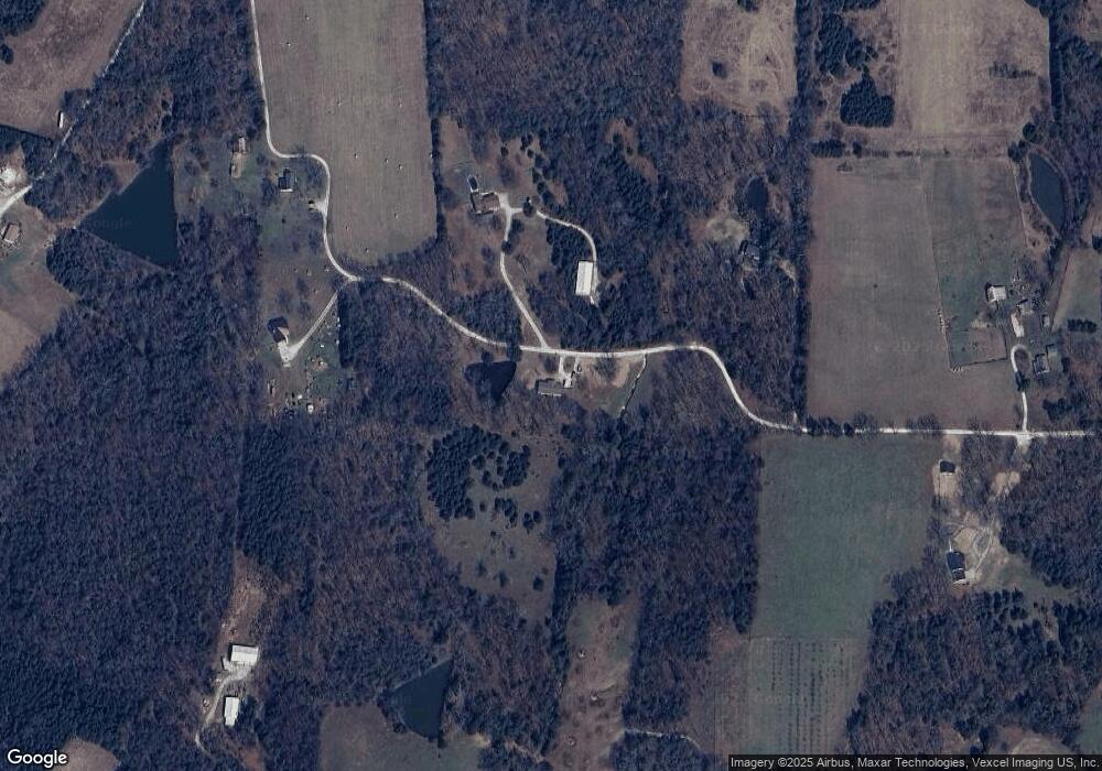
Map
Nearby Homes
- 0 Butcher Branch Rd Unit MAR25024677
- 6135 Tall Cedars Rd
- 5848 Forest Dr
- 9909 Sassafras
- 9841 Ridgecrest Dr
- 0 Ridgecrest Dr Unit MIS25071460
- 106 Squirrel Run Ct
- 14 Bluebird Ct
- 18 Bluebird Ct
- 10243 Lake Ridge Dr
- 5707 Forest Dr
- 5753 Forest Dr
- 1361 Brickyard Rd
- 10068 Waterford Dr
- 5683 Forest Dr
- 10449 Lake Crest Dr
- 847 Dogwood Dr
- 826 Dogwood Dr
- 831 Dogwood Dr
- 835 Dogwood Dr
- 125 Rolling Acres Ln
- 125 Rolling Acres Ln
- 131 Rolling Acres Ln
- 119 Rolling Acres Ln
- 164 Rolling Acres Ln
- 165 Rolling Acres Ln
- 44 Rolling Acres Ln
- 120 Mohawk Valley Ranch Ln
- 45 Rolling Acres Ln
- 6085 Butcher Branch Rd
- 99 Divided Acres
- 180 Rolling Acres Ln
- 91 Stonebridge Estates Dr
- 30 Rolling Acres Ln
- 6101 Butcher Branch Rd
- 96 Divided Acres
- 33 Rolling Acres Ln
- 75 Divided Acres
- 98 Stonebridge Estate Dr
- 1 Valley + - Acre