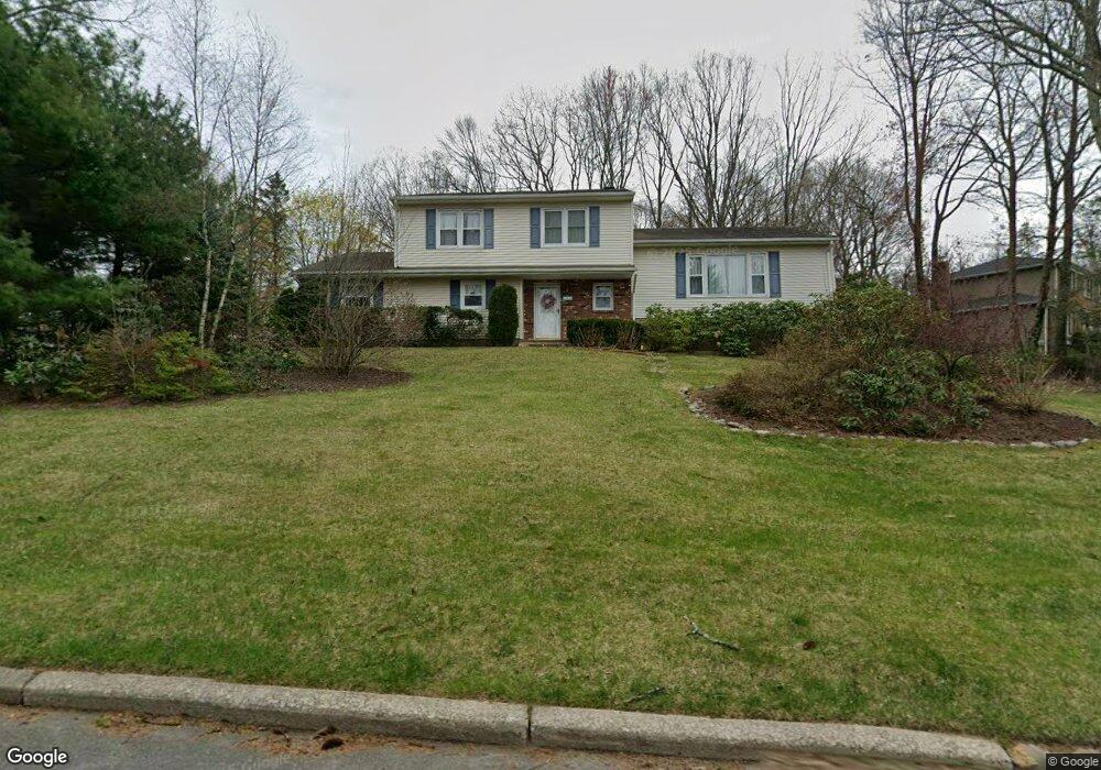
132 Rolling Ridge Rd West Milford, NJ 07480
Estimated Value: $361,000 - $642,000
--
Bed
--
Bath
1,984
Sq Ft
$273/Sq Ft
Est. Value
About This Home
This home is located at 132 Rolling Ridge Rd, West Milford, NJ 07480 and is currently estimated at $541,809, approximately $273 per square foot. 132 Rolling Ridge Rd is a home located in Passaic County with nearby schools including Macopin Middle School and West Milford High School.
Ownership History
Date
Name
Owned For
Owner Type
Purchase Details
Closed on
Sep 23, 2013
Sold by
Domanski Patricia and Neil Patricia O
Bought by
Neil Patricia O and Domanski Patricia
Current Estimated Value
Home Financials for this Owner
Home Financials are based on the most recent Mortgage that was taken out on this home.
Original Mortgage
$150,000
Interest Rate
4.15%
Mortgage Type
Credit Line Revolving
Create a Home Valuation Report for This Property
The Home Valuation Report is an in-depth analysis detailing your home's value as well as a comparison with similar homes in the area
Home Values in the Area
Average Home Value in this Area
Purchase History
| Date | Buyer | Sale Price | Title Company |
|---|---|---|---|
| Neil Patricia O | $127,000 | None Available |
Source: Public Records
Mortgage History
| Date | Status | Borrower | Loan Amount |
|---|---|---|---|
| Closed | Neil Patricia O | $150,000 |
Source: Public Records
Tax History Compared to Growth
Tax History
| Year | Tax Paid | Tax Assessment Tax Assessment Total Assessment is a certain percentage of the fair market value that is determined by local assessors to be the total taxable value of land and additions on the property. | Land | Improvement |
|---|---|---|---|---|
| 2025 | $11,842 | $292,100 | $109,100 | $183,000 |
| 2024 | $11,903 | $292,100 | $109,100 | $183,000 |
| 2022 | $11,298 | $292,100 | $109,100 | $183,000 |
| 2021 | $11,056 | $292,100 | $109,100 | $183,000 |
| 2020 | $10,939 | $292,100 | $109,100 | $183,000 |
| 2019 | $10,793 | $292,100 | $109,100 | $183,000 |
| 2018 | $10,767 | $292,100 | $109,100 | $183,000 |
| 2017 | $10,816 | $292,100 | $109,100 | $183,000 |
| 2016 | $10,834 | $292,100 | $109,100 | $183,000 |
| 2015 | $10,708 | $292,100 | $109,100 | $183,000 |
| 2014 | $10,448 | $292,100 | $109,100 | $183,000 |
Source: Public Records
Map
Nearby Homes
- 11 Eagles Nest Terrace
- 24 Eagles Nest Terrace
- 33 Eagles Nest Terrace
- 2 Heritage Dr
- 2 Iron Hill
- 54 Nosenzo Pond Rd
- 60 Eagles Nest Terrace
- 68 Heritage Dr
- 0 Rock Ledge Rd Unit 25030488
- 0 Rock Ledge Rd Unit 3983243
- 43 Bisset Dr
- 82 Heritage Dr
- 16 Pond View Dr
- 91 Heritage Dr
- 0 Laurel Hollow
- 5 Bisset Dr
- 1731 MacOpin Rd
- 7 Rockburn Pass
- 66 Lindys Dr
- 95 Morris Ave
- 6 Olde Hickory Rd
- 142 Rolling Ridge Rd
- 3 Olde Hickory Rd
- 8 Raven Ct
- 124 Rolling Ridge Rd
- 12 Olde Hickory Rd
- 9 Raven Ct
- 137 Rolling Ridge Rd
- 148 Rolling Ridge Rd
- 7 Olde Hickory Rd
- 12 Raven Ct
- 119 Rolling Ridge Rd
- 141 Rolling Ridge Rd
- 118 Rolling Ridge Rd
- 16 Olde Hickory Rd
- 15 Raven Ct
- 11 Olde Hickory Rd
- 16 Raven Ct
- 147 Rolling Ridge Rd
- 111 Rolling Ridge Rd