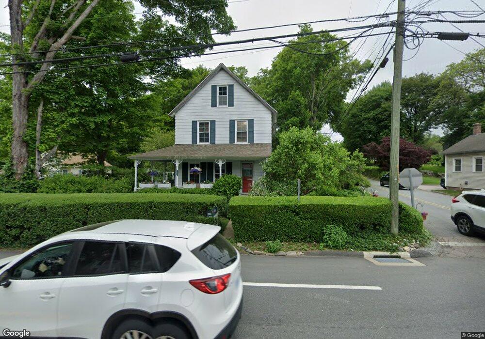
132 Route 2a Preston, CT 06365
Estimated Value: $271,000 - $337,000
2
Beds
2
Baths
1,204
Sq Ft
$248/Sq Ft
Est. Value
About This Home
This home is located at 132 Route 2a, Preston, CT 06365 and is currently estimated at $298,367, approximately $247 per square foot. 132 Route 2a is a home located in New London County with nearby schools including Integrated Day Charter School and St. Joseph School.
Create a Home Valuation Report for This Property
The Home Valuation Report is an in-depth analysis detailing your home's value as well as a comparison with similar homes in the area
Home Values in the Area
Average Home Value in this Area
Tax History
| Year | Tax Paid | Tax Assessment Tax Assessment Total Assessment is a certain percentage of the fair market value that is determined by local assessors to be the total taxable value of land and additions on the property. | Land | Improvement |
|---|---|---|---|---|
| 2025 | $2,941 | $117,110 | $41,300 | $75,810 |
| 2024 | $2,737 | $117,110 | $41,300 | $75,810 |
| 2023 | $2,688 | $117,110 | $41,300 | $75,810 |
| 2022 | $2,364 | $84,800 | $33,700 | $51,100 |
| 2021 | $2,285 | $84,800 | $33,700 | $51,100 |
| 2020 | $2,281 | $84,800 | $33,700 | $51,100 |
| 2019 | $2,241 | $84,800 | $33,700 | $51,100 |
| 2018 | $2,207 | $84,800 | $33,700 | $51,100 |
| 2017 | $2,208 | $92,000 | $34,900 | $57,100 |
| 2016 | $2,185 | $92,000 | $34,900 | $57,100 |
| 2015 | $2,116 | $92,000 | $34,900 | $57,100 |
| 2014 | $2,129 | $92,000 | $34,900 | $57,100 |
Source: Public Records
Map
Nearby Homes
- 104 Route 2a
- 11 Willow Ln
- 36 Route 2a
- 7 Halls Mill Rd
- 15 Paster Rd
- 256 Route 2
- 3 Holdsworth Rd
- 16 Marlene Dr
- 36 Bittersweet Dr
- 43 Drawbridge Rd
- 31 Woodland Dr
- 4 N Glenwoods Rd
- 5 Mount Laurel Rd
- 547 Old Laurel Hill Rd
- 278 Palmer Street Extension
- 1918 Route 12
- 105 Stonington Rd
- 14 Abbey Rd
- 16 Abbey Rd
- 23 Avery Hill Rd
Your Personal Tour Guide
Ask me questions while you tour the home.