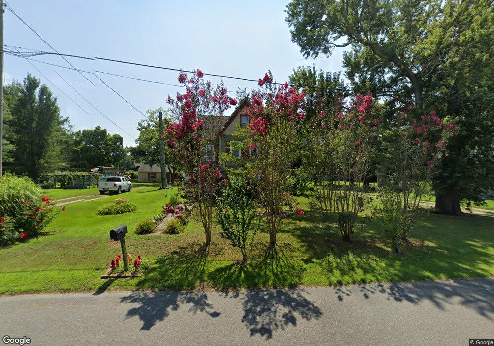
132 Route 49 Corbin City, NJ 08270
Estimated Value: $265,000 - $346,000
--
Bed
--
Bath
2,098
Sq Ft
$147/Sq Ft
Est. Value
About This Home
This home is located at 132 Route 49, Corbin City, NJ 08270 and is currently estimated at $307,449, approximately $146 per square foot. 132 Route 49 is a home located in Cape May County with nearby schools including Upper Township Primary School, Upper Township Elementary School, and Upper Township Middle School.
Ownership History
Date
Name
Owned For
Owner Type
Purchase Details
Closed on
Jul 31, 2001
Current Estimated Value
Purchase Details
Closed on
Jul 30, 1996
Sold by
Shone Ida
Bought by
Wriggins Robt and Wriggins Carolyn
Home Financials for this Owner
Home Financials are based on the most recent Mortgage that was taken out on this home.
Original Mortgage
$99,000
Interest Rate
8.24%
Create a Home Valuation Report for This Property
The Home Valuation Report is an in-depth analysis detailing your home's value as well as a comparison with similar homes in the area
Home Values in the Area
Average Home Value in this Area
Purchase History
| Date | Buyer | Sale Price | Title Company |
|---|---|---|---|
| -- | $110,000 | -- | |
| Wriggins Robt | $99,000 | -- |
Source: Public Records
Mortgage History
| Date | Status | Borrower | Loan Amount |
|---|---|---|---|
| Previous Owner | Wriggins Robt | $99,000 |
Source: Public Records
Tax History Compared to Growth
Tax History
| Year | Tax Paid | Tax Assessment Tax Assessment Total Assessment is a certain percentage of the fair market value that is determined by local assessors to be the total taxable value of land and additions on the property. | Land | Improvement |
|---|---|---|---|---|
| 2025 | $5,011 | $212,800 | $79,800 | $133,000 |
| 2024 | $5,011 | $212,800 | $79,800 | $133,000 |
| 2023 | $4,773 | $212,800 | $79,800 | $133,000 |
| 2022 | $4,626 | $212,800 | $79,800 | $133,000 |
| 2021 | $3,310 | $212,800 | $79,800 | $133,000 |
| 2020 | $4,305 | $212,800 | $79,800 | $133,000 |
| 2019 | $4,207 | $212,800 | $79,800 | $133,000 |
| 2018 | $4,101 | $212,800 | $79,800 | $133,000 |
| 2017 | $4,050 | $212,800 | $79,800 | $133,000 |
| 2016 | $3,711 | $191,900 | $79,800 | $112,100 |
| 2015 | $3,602 | $191,900 | $79,800 | $112,100 |
| 2014 | $3,578 | $234,300 | $112,000 | $122,300 |
Source: Public Records
Map
Nearby Homes
- 2334 Route 50
- 50 School House Ln
- 115 Rte 50
- 27 Cedar Ave
- 101 Whitman Ln
- 104 Church Rd
- 000 New Jersey 49
- 17 Deerfield Trail
- 8 Deerfield Trail
- 104 Head of River Rd
- 1520 Route 50
- 116 Head of River Rd
- 120 W Poplar Ave
- 120 Head of River Rd
- 126 Buck Hill Rd
- 1081 Route 50
- 465 Route 49 Unit 118
- 465 Route 49 Unit 63