132 S Horning Rd Mansfield, OH 44903
Estimated Value: $235,355 - $454,000
--
Bed
2
Baths
2,744
Sq Ft
$114/Sq Ft
Est. Value
About This Home
This home is located at 132 S Horning Rd, Mansfield, OH 44903 and is currently estimated at $311,839, approximately $113 per square foot. 132 S Horning Rd is a home with nearby schools including Stingel Elementary School, Ontario Middle School, and Ontario High School.
Create a Home Valuation Report for This Property
The Home Valuation Report is an in-depth analysis detailing your home's value as well as a comparison with similar homes in the area
Home Values in the Area
Average Home Value in this Area
Tax History Compared to Growth
Tax History
| Year | Tax Paid | Tax Assessment Tax Assessment Total Assessment is a certain percentage of the fair market value that is determined by local assessors to be the total taxable value of land and additions on the property. | Land | Improvement |
|---|---|---|---|---|
| 2024 | $2,294 | $48,050 | $7,430 | $40,620 |
| 2023 | $2,294 | $48,050 | $7,430 | $40,620 |
| 2022 | $1,840 | $33,510 | $7,110 | $26,400 |
| 2021 | $1,844 | $33,510 | $7,110 | $26,400 |
| 2020 | $1,979 | $33,510 | $7,110 | $26,400 |
Source: Public Records
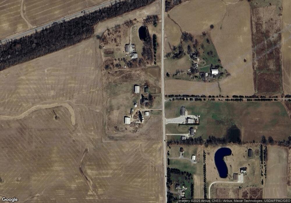
Map
Nearby Homes
- 8080 State Route 309
- 4663 Millsboro Rd W
- 332 Maynard Ave
- 7865 Anker Dr
- 207 Maynard Ave
- 5263 Lincoln Hwy
- 4825 Lincoln Hwy
- 880 S Thoman St
- 5446 Lincoln Hwy
- 0.2 Bibich Ct
- 0.3 Bibich Ct
- 0.1 Bibich Ct
- 5450 Lincoln Hwy
- 5380 Lincoln Hwy
- 0 State Route 61
- 307 S Washington Ave
- 1260 Thrush Rd
- 302 S Washington St
- 3880 Horizon Dr
- 601 Scott St
- 36 S Horning Rd
- 5230 State Route 309
- 5264 Ohio 309
- 5264 State Route 309
- 5102 Lime Rd
- 5330 State Route 309
- 209 S Horning Rd
- 179 S Horning Rd
- 187 S Horning Rd
- 211 S Horning Rd
- 5164 Lime Rd
- 362 S Horning Rd
- 5132 Lime Rd
- 5361 State Route 309
- 173 S Horning Rd
- 5394 State Route 309
- 5208 Lime Rd
- 91 S Horning Rd
- 5198 Lime Rd
- 5232 Lime Rd