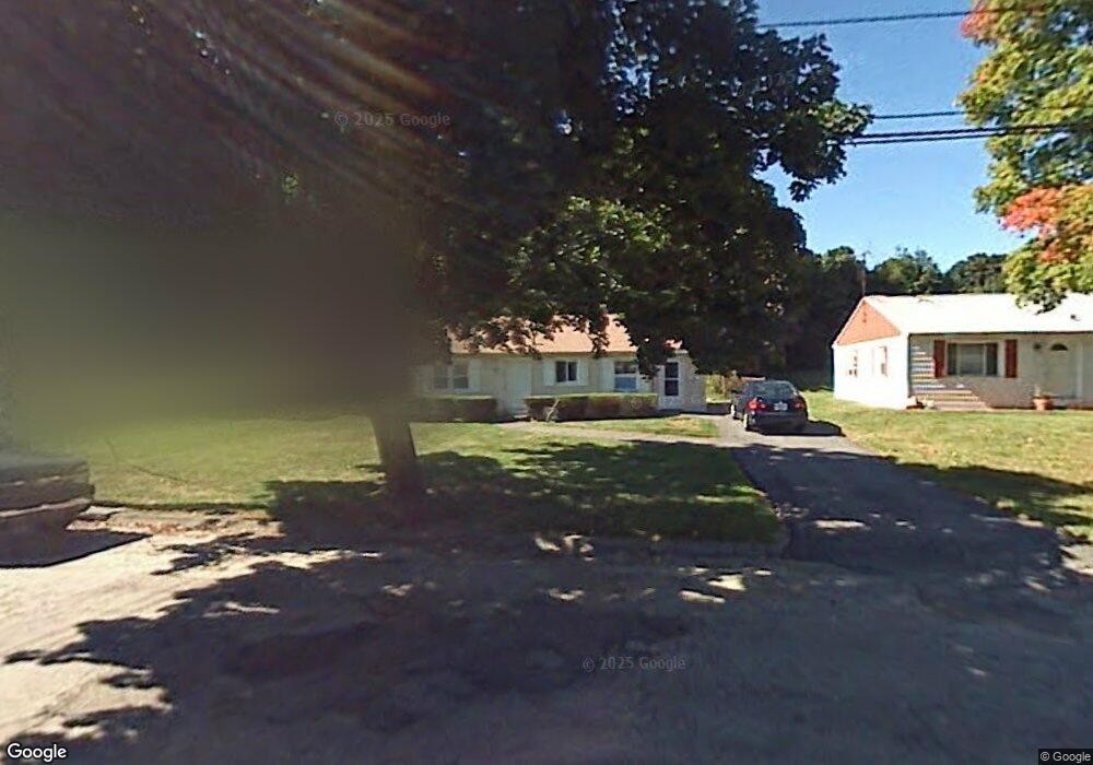
132 Saint Nicholas Ave Worcester, MA 01606
Burncoat NeighborhoodEstimated Value: $386,021 - $471,000
2
Beds
1
Bath
1,366
Sq Ft
$321/Sq Ft
Est. Value
About This Home
This home is located at 132 Saint Nicholas Ave, Worcester, MA 01606 and is currently estimated at $438,755, approximately $321 per square foot. 132 Saint Nicholas Ave is a home located in Worcester County with nearby schools including Belmont Street Community School, Jacob Hiatt Magnet School, and Chandler Magnet.
Ownership History
Date
Name
Owned For
Owner Type
Purchase Details
Closed on
Jan 28, 2011
Sold by
Travis Sharon C
Bought by
Fusaro Michael R
Current Estimated Value
Home Financials for this Owner
Home Financials are based on the most recent Mortgage that was taken out on this home.
Original Mortgage
$112,084
Outstanding Balance
$76,587
Interest Rate
4.75%
Mortgage Type
FHA
Estimated Equity
$362,168
Create a Home Valuation Report for This Property
The Home Valuation Report is an in-depth analysis detailing your home's value as well as a comparison with similar homes in the area
Home Values in the Area
Average Home Value in this Area
Purchase History
| Date | Buyer | Sale Price | Title Company |
|---|---|---|---|
| Fusaro Michael R | $115,000 | -- |
Source: Public Records
Mortgage History
| Date | Status | Borrower | Loan Amount |
|---|---|---|---|
| Open | Fusaro Michael R | $15,000 | |
| Open | Fusaro Michael R | $112,084 | |
| Previous Owner | Fusaro Michael R | $30,000 | |
| Previous Owner | Fusaro Michael R | $20,000 |
Source: Public Records
Tax History Compared to Growth
Tax History
| Year | Tax Paid | Tax Assessment Tax Assessment Total Assessment is a certain percentage of the fair market value that is determined by local assessors to be the total taxable value of land and additions on the property. | Land | Improvement |
|---|---|---|---|---|
| 2025 | $4,180 | $316,900 | $117,800 | $199,100 |
| 2024 | $4,110 | $298,900 | $117,800 | $181,100 |
| 2023 | $3,952 | $275,600 | $102,500 | $173,100 |
| 2022 | $3,486 | $229,200 | $82,000 | $147,200 |
| 2021 | $3,319 | $203,900 | $65,600 | $138,300 |
| 2020 | $3,330 | $195,900 | $65,600 | $130,300 |
| 2019 | $3,128 | $173,800 | $59,000 | $114,800 |
| 2018 | $3,046 | $161,100 | $59,000 | $102,100 |
| 2017 | $3,087 | $160,600 | $59,000 | $101,600 |
| 2016 | $2,966 | $143,900 | $43,000 | $100,900 |
| 2015 | $2,888 | $143,900 | $43,000 | $100,900 |
| 2014 | $2,812 | $143,900 | $43,000 | $100,900 |
Source: Public Records
Map
Nearby Homes
- 95 Saint Nicholas Ave
- 13 Fatima Ln
- 2 Maria Ln Unit 2
- 15 Inwood Rd
- 31 Enaya Cir Unit 31
- 276 Saint Nicholas Ave
- 304 Saint Nicholas Ave
- 113 Bay State Rd
- 2206 Halcyon Dr Unit 2206
- 120 Bay State Rd
- 18 Claffey Ave
- 3 Granville Ave
- 40 Francis St
- 134 Whitmarsh Ave
- 8 Cherry Blossom Cir Unit 50
- 29 E Mountain
- 23 Viele Ave
- 49 E Mountain St
- 25 White Ave
- 28 Brooks St
- 136 Saint Nicholas Ave
- 126 Saint Nicholas Ave
- 120 Saint Nicholas Ave
- 75 Uncatena Ave
- 73 Uncatena Ave
- 144 Saint Nicholas Ave
- 131 Saint Nicholas Ave
- 116 Saint Nicholas Ave
- 116 Saint Nicholas Ave Unit 1
- 77 Uncatena Ave
- 125 Saint Nicholas Ave
- 191 Clark St
- 71 Uncatena Ave
- 175 Clark St
- 111 Saint Nicholas Ave
- 79 Uncatena Ave
- 34 Governors St
- 195 Clark St
- 40 Governors St
- 19 Oneida Ave