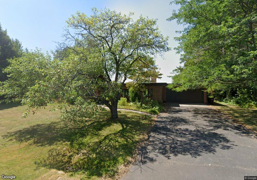
132 Salisbury Rd Delmar, NY 12054
Estimated Value: $467,000 - $711,000
3
Beds
3
Baths
2,198
Sq Ft
$254/Sq Ft
Est. Value
About This Home
This home is located at 132 Salisbury Rd, Delmar, NY 12054 and is currently estimated at $558,543, approximately $254 per square foot. 132 Salisbury Rd is a home located in Albany County with nearby schools including St. Thomas the Apostle School, Albany Academies (The), and The Albany Academy For Girls.
Ownership History
Date
Name
Owned For
Owner Type
Purchase Details
Closed on
Feb 1, 2016
Sold by
Wells Fargo Bank Na
Bought by
Walton Marsha Lia
Current Estimated Value
Purchase Details
Closed on
Dec 17, 2015
Sold by
Hall Cynthia L and Hall Lamar A
Bought by
Wells Fargo Bank N A
Purchase Details
Closed on
Oct 17, 2004
Purchase Details
Closed on
Sep 11, 1995
Sold by
Hill Lamar A Hill Cynthia L
Bought by
Normanside Corporation
Purchase Details
Closed on
Aug 19, 1994
Sold by
Mossin Albert C and Mossin Rachel
Bought by
Hill Lamar A and Hill Cynthia L
Create a Home Valuation Report for This Property
The Home Valuation Report is an in-depth analysis detailing your home's value as well as a comparison with similar homes in the area
Home Values in the Area
Average Home Value in this Area
Purchase History
| Date | Buyer | Sale Price | Title Company |
|---|---|---|---|
| Walton Marsha Lia | $77,500 | Linear Title & Closing | |
| Wells Fargo Bank N A | $464,501 | None Available | |
| -- | -- | -- | |
| Hill Lamar A | -- | James Blendell | |
| Normanside Corporation | -- | -- | |
| Hill Lamar A | $175,500 | -- |
Source: Public Records
Tax History Compared to Growth
Tax History
| Year | Tax Paid | Tax Assessment Tax Assessment Total Assessment is a certain percentage of the fair market value that is determined by local assessors to be the total taxable value of land and additions on the property. | Land | Improvement |
|---|---|---|---|---|
| 2024 | $9,712 | $294,400 | $93,000 | $201,400 |
| 2023 | $9,450 | $294,400 | $93,000 | $201,400 |
| 2022 | $9,248 | $294,400 | $93,000 | $201,400 |
| 2021 | $9,312 | $294,400 | $93,000 | $201,400 |
| 2020 | $9,263 | $294,400 | $93,000 | $201,400 |
| 2019 | $8,710 | $320,000 | $93,000 | $227,000 |
| 2018 | $3,712 | $120,000 | $93,000 | $27,000 |
| 2017 | $5,322 | $120,000 | $93,000 | $27,000 |
| 2016 | $5,322 | $120,000 | $93,000 | $27,000 |
| 2014 | -- | $309,900 | $93,000 | $216,900 |
Source: Public Records
Map
Nearby Homes
- 5 Morningside Dr
- 5 Salisbury Rd
- 7 Snowden Ave
- 10 Lincoln Ave
- 114 North St
- 14 Maywood Rd
- 8 Quadrini Dr
- 4 Woodridge Rd
- 19 Windsor Place
- 28 Governor Cir
- 138 van Schoick Ave
- 26 Mohican Place
- 5 Zuni St
- 8 Sawyer Place
- 7 Merrifield Place
- 25 Gingerbread Ln
- 7 Hemlock Ln
- 348 S Manning Blvd
- 358 Kenwood Ave
- 65 Berwick Rd
- 124 Salisbury Rd
- 120 Salisbury Rd
- 118 Salisbury Rd
- 110 Salisbury Rd
- 108 Salisbury Rd
- 106 Salisbury Rd
- 100 Salisbury Rd
- 0 Salisbury Rd
- 99 Salisbury Rd
- 98 Salisbury Rd
- 95 Salsburg Rd
- 95 Salisbury Rd
- 90 Salisbury Rd
- 89 Salisbury Rd
- 86 Salisbury Rd
- 87 Salisbury Rd
- 84 Salisbury Rd
- 7 Normanside Ave
- 5 Normanside Ave
- 82 Salisbury Rd