132 Spencer Cir Forest Hill, MD 21050
Estimated Value: $328,000 - $388,000
--
Bed
3
Baths
1,494
Sq Ft
$244/Sq Ft
Est. Value
About This Home
This home is located at 132 Spencer Cir, Forest Hill, MD 21050 and is currently estimated at $364,838, approximately $244 per square foot. 132 Spencer Cir is a home located in Harford County with nearby schools including Forest Hill Elementary School, Bel Air Middle School, and Bel Air High School.
Ownership History
Date
Name
Owned For
Owner Type
Purchase Details
Closed on
Feb 1, 2025
Sold by
Barton William R
Bought by
Barton William R and Barton Amanda Nicole
Current Estimated Value
Purchase Details
Closed on
Jan 5, 2005
Sold by
Stephens Marsha L
Bought by
Barton William R
Home Financials for this Owner
Home Financials are based on the most recent Mortgage that was taken out on this home.
Original Mortgage
$168,150
Interest Rate
5.74%
Mortgage Type
New Conventional
Purchase Details
Closed on
May 14, 1999
Sold by
Stephens Marsha L
Bought by
Stephens Marsha L
Purchase Details
Closed on
Oct 8, 1997
Sold by
Ryland Group Inc The
Bought by
Stephens Marsha L
Create a Home Valuation Report for This Property
The Home Valuation Report is an in-depth analysis detailing your home's value as well as a comparison with similar homes in the area
Home Values in the Area
Average Home Value in this Area
Purchase History
| Date | Buyer | Sale Price | Title Company |
|---|---|---|---|
| Barton William R | -- | None Listed On Document | |
| Barton William R | -- | None Listed On Document | |
| Barton William R | $229,000 | -- | |
| Stephens Marsha L | -- | -- | |
| Stephens Marsha L | $132,092 | -- |
Source: Public Records
Mortgage History
| Date | Status | Borrower | Loan Amount |
|---|---|---|---|
| Previous Owner | Barton William R | $168,150 | |
| Closed | Stephens Marsha L | -- |
Source: Public Records
Tax History Compared to Growth
Tax History
| Year | Tax Paid | Tax Assessment Tax Assessment Total Assessment is a certain percentage of the fair market value that is determined by local assessors to be the total taxable value of land and additions on the property. | Land | Improvement |
|---|---|---|---|---|
| 2025 | $2,914 | $278,000 | $72,000 | $206,000 |
| 2024 | $2,682 | $267,367 | $0 | $0 |
| 2023 | $2,682 | $256,733 | $0 | $0 |
| 2022 | $2,682 | $246,100 | $72,000 | $174,100 |
| 2021 | $0 | $238,433 | $0 | $0 |
| 2020 | $2,663 | $230,767 | $0 | $0 |
| 2019 | $2,575 | $223,100 | $65,000 | $158,100 |
| 2018 | $2,479 | $216,800 | $0 | $0 |
| 2017 | $2,407 | $223,100 | $0 | $0 |
| 2016 | $140 | $204,200 | $0 | $0 |
| 2015 | $2,528 | $204,200 | $0 | $0 |
| 2014 | $2,528 | $204,200 | $0 | $0 |
Source: Public Records
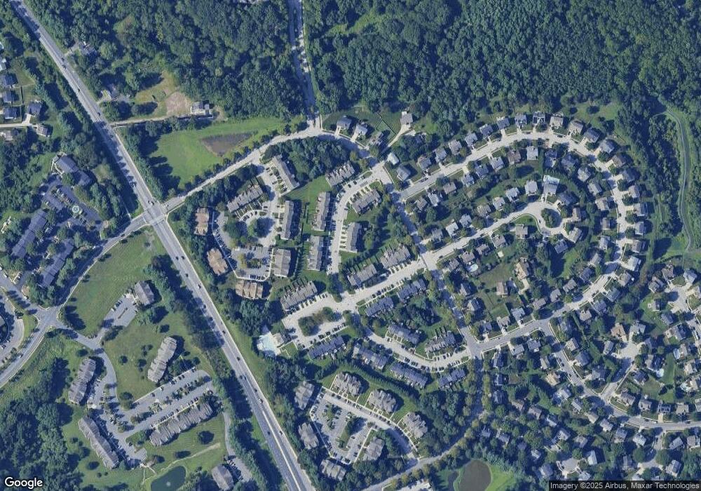
Map
Nearby Homes
- 1710 Chrisara Ct
- 1702 Rich Way Unit 2C
- 1713 Landmark Dr Unit 1L
- 1700 Landmark Dr Unit 1M
- 105 Sunshine Ct Unit G
- 1817 Rock Spring Rd
- 253 Trudy Ct
- 311 Willrich Cir Unit G
- 218 Aster Ln
- 1615 Samantha Dr
- 1605 Samantha Dr
- 1405 Kahoe Rd
- 310 Willrich Cir
- 2103 Mardic Dr
- 2139 Mardic Dr
- 202 Princeton Ln
- 2151 Sewanee Dr
- 1991 Gulfstream Ct
- 332 Ponfield Rd E
- 430 Underwood Ln
- 130 Spencer Cir
- 134 Spencer Cir
- 128 Spencer Cir
- 126 Spencer Cir
- 124 Spencer Cir
- 286 Cherry Tree Square
- 284 Cherry Tree Square
- 282 Cherry Tree Square
- 288 Cherry Tree Square
- 280 Cherry Tree Square
- 278 Cherry Tree Square
- 290 Cherry Tree Square
- 110 Spencer Cir
- 276 Cherry Tree Square
- 292 Cherry Tree Square
- 108 Spencer Cir
- 294 Cherry Tree Square
- 106 Spencer Cir
- 131 Spencer Cir
- 129 Spencer Cir