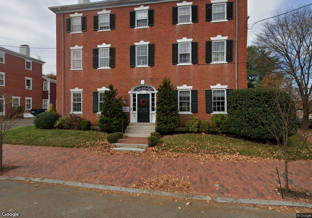
132 State St Unit 2 Newburyport, MA 01950
Estimated Value: $443,776 - $516,000
1
Bed
1
Bath
626
Sq Ft
$765/Sq Ft
Est. Value
About This Home
This home is located at 132 State St Unit 2, Newburyport, MA 01950 and is currently estimated at $478,694, approximately $764 per square foot. 132 State St Unit 2 is a home located in Essex County with nearby schools including Francis T. Bresnahan Elementary School, Edward G. Molin Elementary School, and Rupert A. Nock Middle School.
Ownership History
Date
Name
Owned For
Owner Type
Purchase Details
Closed on
Mar 20, 2020
Sold by
Lynch Karen A and Lynch Robert F
Bought by
Mccoy Eileen and Mcguire Ryan C
Current Estimated Value
Purchase Details
Closed on
Sep 23, 2002
Sold by
Sos Rt and Osullivan Evelyn C
Bought by
Lynch Robert F and Lynch Karen A
Home Financials for this Owner
Home Financials are based on the most recent Mortgage that was taken out on this home.
Original Mortgage
$129,600
Interest Rate
6.36%
Mortgage Type
Purchase Money Mortgage
Purchase Details
Closed on
Jan 3, 1995
Sold by
Petty Stanley W and Petty Alice
Bought by
Sos Rt and Osullivan Evelyn
Home Financials for this Owner
Home Financials are based on the most recent Mortgage that was taken out on this home.
Original Mortgage
$50,000
Interest Rate
9.2%
Mortgage Type
Purchase Money Mortgage
Create a Home Valuation Report for This Property
The Home Valuation Report is an in-depth analysis detailing your home's value as well as a comparison with similar homes in the area
Home Values in the Area
Average Home Value in this Area
Purchase History
| Date | Buyer | Sale Price | Title Company |
|---|---|---|---|
| Mccoy Eileen | $299,000 | None Available | |
| Lynch Robert F | $162,000 | -- | |
| Sos Rt | $50,000 | -- |
Source: Public Records
Mortgage History
| Date | Status | Borrower | Loan Amount |
|---|---|---|---|
| Previous Owner | Sos Rt | $100,000 | |
| Previous Owner | Sos Rt | $129,600 | |
| Previous Owner | Sos Rt | $50,000 |
Source: Public Records
Tax History Compared to Growth
Tax History
| Year | Tax Paid | Tax Assessment Tax Assessment Total Assessment is a certain percentage of the fair market value that is determined by local assessors to be the total taxable value of land and additions on the property. | Land | Improvement |
|---|---|---|---|---|
| 2025 | $3,808 | $397,500 | $0 | $397,500 |
| 2024 | $3,721 | $373,200 | $0 | $373,200 |
| 2023 | $3,712 | $345,600 | $0 | $345,600 |
| 2022 | $3,633 | $302,500 | $0 | $302,500 |
| 2021 | $3,070 | $242,900 | $0 | $242,900 |
| 2020 | $3,058 | $238,200 | $0 | $238,200 |
| 2019 | $2,956 | $226,000 | $0 | $226,000 |
| 2018 | $2,911 | $219,500 | $0 | $219,500 |
| 2017 | $2,826 | $210,100 | $0 | $210,100 |
| 2016 | $2,662 | $198,800 | $0 | $198,800 |
| 2015 | $2,540 | $190,400 | $0 | $190,400 |
Source: Public Records
Map
Nearby Homes
- 95 High St Unit 4
- 95 High St Unit 1
- 1 Hill St
- 1 Hill St Unit 1
- 105 State St Unit 301
- 105 State St Unit 101
- 105 State St Unit 201
- 11 Charter St
- 2 Court St Unit 4
- 11 Orange St Unit 2
- 42 Federal St Unit B
- 10 10th St
- 58 Lime St Unit 5
- 113 Prospect St Unit B
- 57 Lime St Unit 1
- 58 Merrimac St Unit 2-5
- 41 Washington St Unit B
- 44 Washington St Unit C
- 30-32 Water St Unit 4
- 45 Boardman St Unit 1
- 132 State St Unit 5
- 132 State St Unit 4
- 132 State St Unit 3
- 132 State St Unit 1
- 132 State St Unit 3,132
- 1.5 Greenleaf St
- 1 Greenleaf St
- 1 1/2 Greenleaf St
- 136 State St
- 133 State St
- 130 State St
- 1 Brown St
- 1 Brown St
- 129 State St Unit A
- 129 State St Unit A
- 129A State St Unit A
- 129 State St Unit B
- 138 State St Unit 2
- 138 State St Unit 1
- 128 State St