Estimated Value: $370,230 - $489,000
3
Beds
1
Bath
1,062
Sq Ft
$414/Sq Ft
Est. Value
About This Home
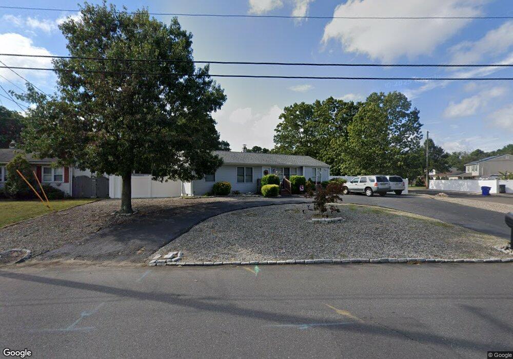
This home is located at 132 Stephan Rd, Brick, NJ 08724 and is currently estimated at $439,808, approximately $414 per square foot. 132 Stephan Rd is a home located in Ocean County with nearby schools including Lanes Mill Elementary School, Veterans Memorial Middle School, and Brick Township Memorial High School.
Ownership History
Date
Name
Owned For
Owner Type
Purchase Details
Closed on
Apr 26, 2002
Sold by
Flora Theo Ann
Bought by
Smith Warren and Smith Lynn
Current Estimated Value
Home Financials for this Owner
Home Financials are based on the most recent Mortgage that was taken out on this home.
Original Mortgage
$116,000
Outstanding Balance
$49,671
Interest Rate
7.13%
Estimated Equity
$390,137
Purchase Details
Closed on
Sep 17, 1998
Sold by
Virgilio Carl
Bought by
Flora Theo Ann
Create a Home Valuation Report for This Property
The Home Valuation Report is an in-depth analysis detailing your home's value as well as a comparison with similar homes in the area
Home Values in the Area
Average Home Value in this Area
Purchase History
| Date | Buyer | Sale Price | Title Company |
|---|---|---|---|
| Smith Warren | $145,000 | -- | |
| Flora Theo Ann | $60,000 | Commonwealth Land Title Ins | |
| Virgilio Carl | -- | Commonwealth Land Title Ins |
Source: Public Records
Mortgage History
| Date | Status | Borrower | Loan Amount |
|---|---|---|---|
| Open | Smith Warren | $116,000 |
Source: Public Records
Tax History
| Year | Tax Paid | Tax Assessment Tax Assessment Total Assessment is a certain percentage of the fair market value that is determined by local assessors to be the total taxable value of land and additions on the property. | Land | Improvement |
|---|---|---|---|---|
| 2025 | $5,891 | $214,200 | $134,600 | $79,600 |
| 2024 | $5,325 | $214,200 | $134,600 | $79,600 |
| 2023 | $5,254 | $214,200 | $134,600 | $79,600 |
| 2022 | $5,254 | $214,200 | $134,600 | $79,600 |
| 2021 | $4,825 | $214,200 | $134,600 | $79,600 |
| 2020 | $5,077 | $214,200 | $134,600 | $79,600 |
| 2019 | $4,978 | $214,200 | $134,600 | $79,600 |
| 2018 | $4,864 | $214,200 | $134,600 | $79,600 |
| 2017 | $4,734 | $214,200 | $134,600 | $79,600 |
| 2016 | $4,700 | $214,200 | $134,600 | $79,600 |
| 2015 | $4,575 | $214,200 | $134,600 | $79,600 |
| 2014 | $4,530 | $214,200 | $134,600 | $79,600 |
Source: Public Records
Map
Nearby Homes
- 00 Larchmont Ave
- 49 Markham Rd
- 30 Rosalind Rd
- 1728 Burrsville Rd
- 802 Sandra Place
- 1722 Burrsville Rd
- 17 Markham Rd
- 6 Hardy Ct
- 1418 Forest Ave
- 1557 Alamitos Dr
- 203 Blake Cir
- 201 Blake Cir
- 20 Lamb Rd
- 24 Clay Cir
- 1416 Isabella Ct Unit D3
- 1575 Alamitos Dr
- 159 Clay Cir
- 202 Samantha Ct
- 5 Cherrywood Cir Unit 105
- 47 Cherrywood Cir Unit 147
Your Personal Tour Guide
Ask me questions while you tour the home.