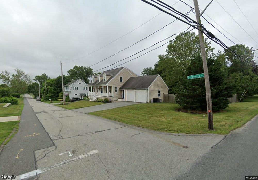
132 Sycamore St Swansea, MA 02777
South Swansea NeighborhoodEstimated Value: $626,000 - $1,115,000
3
Beds
3
Baths
2,127
Sq Ft
$363/Sq Ft
Est. Value
About This Home
This home is located at 132 Sycamore St, Swansea, MA 02777 and is currently estimated at $771,169, approximately $362 per square foot. 132 Sycamore St is a home located in Bristol County with nearby schools including Joseph Case High School, Swansea Wood School, and SCEC Life Academy.
Ownership History
Date
Name
Owned For
Owner Type
Purchase Details
Closed on
Jun 8, 2010
Sold by
Lorusso Nicholas G and Lorusso Melissa A
Bought by
Mccaughey Jason C and Mccaughey Christine M
Current Estimated Value
Home Financials for this Owner
Home Financials are based on the most recent Mortgage that was taken out on this home.
Original Mortgage
$296,400
Outstanding Balance
$200,104
Interest Rate
5.12%
Mortgage Type
Purchase Money Mortgage
Estimated Equity
$571,065
Create a Home Valuation Report for This Property
The Home Valuation Report is an in-depth analysis detailing your home's value as well as a comparison with similar homes in the area
Home Values in the Area
Average Home Value in this Area
Purchase History
| Date | Buyer | Sale Price | Title Company |
|---|---|---|---|
| Mccaughey Jason C | $370,500 | -- |
Source: Public Records
Mortgage History
| Date | Status | Borrower | Loan Amount |
|---|---|---|---|
| Open | Mccaughey Jason C | $296,400 |
Source: Public Records
Tax History Compared to Growth
Tax History
| Year | Tax Paid | Tax Assessment Tax Assessment Total Assessment is a certain percentage of the fair market value that is determined by local assessors to be the total taxable value of land and additions on the property. | Land | Improvement |
|---|---|---|---|---|
| 2025 | $7,331 | $615,000 | $178,000 | $437,000 |
| 2024 | $7,278 | $607,000 | $178,000 | $429,000 |
| 2023 | $6,509 | $495,700 | $130,600 | $365,100 |
| 2022 | $6,149 | $427,300 | $109,300 | $318,000 |
| 2021 | $5,672 | $362,900 | $108,800 | $254,100 |
| 2020 | $5,771 | $370,400 | $110,700 | $259,700 |
| 2019 | $5,495 | $354,300 | $100,200 | $254,100 |
| 2018 | $5,123 | $335,300 | $100,300 | $235,000 |
| 2017 | $4,648 | $350,000 | $104,300 | $245,700 |
| 2016 | $4,641 | $343,300 | $106,600 | $236,700 |
| 2015 | $4,300 | $327,500 | $106,600 | $220,900 |
| 2014 | $4,133 | $321,900 | $106,600 | $215,300 |
Source: Public Records
Map
Nearby Homes
- 1220 Gardners Neck Rd
- 1366 Gardners Neck Rd
- 22 Louis St
- 32 Veranda Ave
- 115 Gardner Ave
- 193 Linden St
- 41,43,& 55 Laurel Ave
- 296 Ocean Grove Ave
- 73 Bourne Rd
- 7 Ocean View Ave
- 19 Keller Ave
- 40 Clancy St
- 4 Wendell St
- 458 Kenneth Ave
- 73 Jette St
- 41 James Ave
- 67 Jette St
- 18 Stafford St
- 264 Oneil Rd
- 1 Taunton River
- 1164 Gardners Neck Rd
- 128 Sycamore St
- 0 Brenton Rd Unit 71102125
- 0 Brenton Rd Unit 71208758
- 0 Brenton Rd Unit 970167
- 0 Brenton Rd Unit 988468
- 133 Sycamore St
- 125 Norwood St
- 1155 Gardners Neck Rd
- 1161 Gardners Neck Rd
- 1145 Gardners Neck Rd
- 1176 Gardners Neck Rd
- 1136 Gardners Neck Rd
- 156 Wilder St
- 1171 Gardners Neck Rd
- 126 Norwood St
- 146 Wilder St
- 111 Sycamore St
- 20 Brenton Rd
- 1186 Gardners Neck Rd