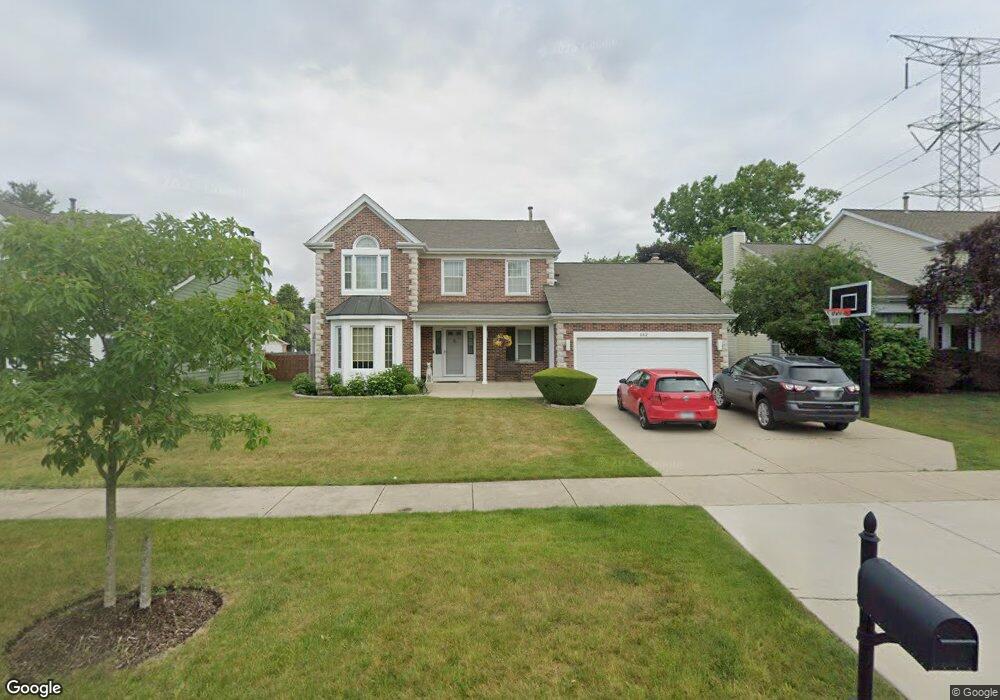
132 Thompson Blvd Buffalo Grove, IL 60089
Estimated Value: $557,392 - $623,000
3
Beds
3
Baths
2,064
Sq Ft
$290/Sq Ft
Est. Value
About This Home
This home is located at 132 Thompson Blvd, Buffalo Grove, IL 60089 and is currently estimated at $599,348, approximately $290 per square foot. 132 Thompson Blvd is a home located in Lake County with nearby schools including Meridian Middle School, Tripp Elementary School, and Aptakisic Junior High School.
Ownership History
Date
Name
Owned For
Owner Type
Purchase Details
Closed on
Jul 26, 2005
Sold by
Stergiou Kyriakos and Stergiou Irene
Bought by
Williams Joshua W and Williams Carol M
Current Estimated Value
Home Financials for this Owner
Home Financials are based on the most recent Mortgage that was taken out on this home.
Original Mortgage
$436,000
Outstanding Balance
$229,036
Interest Rate
5.66%
Mortgage Type
Fannie Mae Freddie Mac
Estimated Equity
$370,312
Create a Home Valuation Report for This Property
The Home Valuation Report is an in-depth analysis detailing your home's value as well as a comparison with similar homes in the area
Home Values in the Area
Average Home Value in this Area
Purchase History
| Date | Buyer | Sale Price | Title Company |
|---|---|---|---|
| Williams Joshua W | $545,000 | Mercury Title Company Llc |
Source: Public Records
Mortgage History
| Date | Status | Borrower | Loan Amount |
|---|---|---|---|
| Open | Williams Joshua W | $436,000 |
Source: Public Records
Tax History Compared to Growth
Tax History
| Year | Tax Paid | Tax Assessment Tax Assessment Total Assessment is a certain percentage of the fair market value that is determined by local assessors to be the total taxable value of land and additions on the property. | Land | Improvement |
|---|---|---|---|---|
| 2024 | $14,388 | $162,796 | $29,736 | $133,060 |
| 2023 | $12,601 | $147,702 | $26,979 | $120,723 |
| 2022 | $12,601 | $134,980 | $24,655 | $110,325 |
| 2021 | $12,154 | $133,524 | $24,389 | $109,135 |
| 2020 | $11,917 | $133,979 | $24,472 | $109,507 |
| 2019 | $11,602 | $133,485 | $24,382 | $109,103 |
| 2018 | $12,097 | $138,698 | $26,502 | $112,196 |
| 2017 | $11,940 | $135,460 | $25,883 | $109,577 |
| 2016 | $11,524 | $129,714 | $24,785 | $104,929 |
| 2015 | $11,294 | $121,308 | $23,179 | $98,129 |
| 2014 | $10,018 | $107,130 | $24,893 | $82,237 |
| 2012 | $9,945 | $107,345 | $24,943 | $82,402 |
Source: Public Records
Map
Nearby Homes
- 15 Thompson Ct
- 276 Stanton Dr
- 1012 Hobson Dr
- 913 Hobson Dr
- 381 Bentley Place
- 16202 W Aptakisic Rd
- 51 W Fabish Dr
- 22118 N Prairie Rd
- 938 Hidden Lake Dr
- 1113 Lockwood Dr
- 437 Caren Dr
- 12 Aberdeen Ct
- 720 Dunhill Dr
- 538 Lasalle Ct
- 2033 Olive Hill Dr
- 670 Dunhill Dr
- 268 Hoffmann Dr
- 620 Cobblestone Ln
- 2071 Wright Blvd
- 361 Hoffmann Dr
- 142 Thompson Blvd
- 122 Thompson Blvd
- 1334 Devonwood Ct
- 1318 Devonwood Ct
- 102 Thompson Blvd
- 195 Lawn Ct
- 193 Lawn Ct
- 193 Lawn Ct
- 193 Lawn Ct Unit 1
- 199 Lawn Ct
- 199 Lawn Ct Unit 199
- 197 Lawn Ct
- 191 Lawn Ct
- 1342 Devonwood Ct
- 187 Lawn Ct
- 185 Lawn Ct
- 189 Lawn Ct
- 183 Lawn Ct
- 181 Lawn Ct
- 181 Lawn Ct Unit 6-16A