132 Trail Ridge Weatherford, TX 76087
Estimated Value: $976,000 - $1,109,000
--
Bed
--
Bath
5,050
Sq Ft
$207/Sq Ft
Est. Value
About This Home
This home is located at 132 Trail Ridge, Weatherford, TX 76087 and is currently estimated at $1,045,899, approximately $207 per square foot. 132 Trail Ridge is a home located in Parker County with nearby schools including Brock Intermediate School, Brock Junior High School, and Brock High School.
Ownership History
Date
Name
Owned For
Owner Type
Purchase Details
Closed on
Aug 23, 2017
Sold by
River Flamingo Turnaround Llc
Bought by
Subha Kamana Llc
Current Estimated Value
Home Financials for this Owner
Home Financials are based on the most recent Mortgage that was taken out on this home.
Original Mortgage
$165,000
Outstanding Balance
$137,939
Interest Rate
4.03%
Mortgage Type
Purchase Money Mortgage
Estimated Equity
$907,960
Purchase Details
Closed on
Dec 6, 2016
Sold by
Mckamey Warren L and Mckamey Lee Ann
Bought by
Wells Fargo Bank Na
Purchase Details
Closed on
Dec 28, 2006
Sold by
New Tex Land Development Ltd
Bought by
Adhikari Kapil and Adhikari Anupa
Create a Home Valuation Report for This Property
The Home Valuation Report is an in-depth analysis detailing your home's value as well as a comparison with similar homes in the area
Home Values in the Area
Average Home Value in this Area
Purchase History
| Date | Buyer | Sale Price | Title Company |
|---|---|---|---|
| Subha Kamana Llc | -- | None Available | |
| Wells Fargo Bank Na | $106,743 | None Available | |
| Adhikari Kapil | -- | None Available |
Source: Public Records
Mortgage History
| Date | Status | Borrower | Loan Amount |
|---|---|---|---|
| Open | Subha Kamana Llc | $165,000 |
Source: Public Records
Tax History Compared to Growth
Tax History
| Year | Tax Paid | Tax Assessment Tax Assessment Total Assessment is a certain percentage of the fair market value that is determined by local assessors to be the total taxable value of land and additions on the property. | Land | Improvement |
|---|---|---|---|---|
| 2025 | $13,182 | $858,531 | -- | -- |
| 2024 | $13,182 | $780,483 | -- | -- |
| 2023 | $13,182 | $709,530 | $0 | $0 |
| 2022 | $13,095 | $645,030 | $111,800 | $533,230 |
| 2021 | $13,771 | $645,030 | $111,800 | $533,230 |
| 2020 | $13,780 | $636,650 | $111,800 | $524,850 |
| 2019 | $14,838 | $636,650 | $111,800 | $524,850 |
| 2018 | $14,024 | $599,040 | $67,080 | $531,960 |
| 2017 | $13,782 | $599,040 | $67,080 | $531,960 |
| 2016 | $12,895 | $560,510 | $67,080 | $493,430 |
| 2015 | $12,065 | $560,510 | $67,080 | $493,430 |
| 2014 | $11,205 | $498,530 | $67,080 | $431,450 |
Source: Public Records
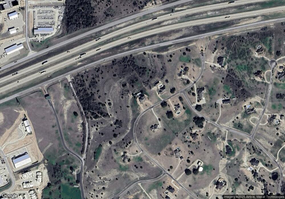
Map
Nearby Homes
- 120 Trail Ridge
- 101 Trail Ridge
- 0 Quanah Hill Rd Unit 23872058
- 234 Trail Ridge
- 123 Club House Dr
- 113 Laser Ln
- 125 Summer Stone Ct
- 162 Pinnacle Peak Ln
- 150 Top Flight Dr
- 197 Pinnacle Peak Ln
- 1060 Kessler Rd
- 205 Pinnacle Peak Ln
- 873 Canyon Creek Ln
- 788 W Canyon Creek Ln
- 313 Canyon Creek Cir
- 833 N Savage Creek Ln
- 393 Canyon Creek Cir
- 673 E Canyon Creek Ln
- TBD Ellis Dr
- TBA Old Brock Rd
- 119 Trail Ridge
- 104 Trail Ridge
- 100 Trail Ridge
- 115 Trail Ridge
- 168 Trail Ridge
- 107 Derek Dr
- 171 Trail Ridge
- 291 Trail Ridge
- TBD River Trail
- Lot 15 Trail Ridge
- 288 Trail Ridge
- XXX Quanah Hill Rd
- 000 Quanah Hill Rd
- 0000a Quanah Hill
- 000 Quanah Hill Rd
- 0000a Quanah Hill
- 0000 Quanah Hill Rd
- 185 Trail Ridge
- 180 Trail Ridge
- 281 Trail Ridge