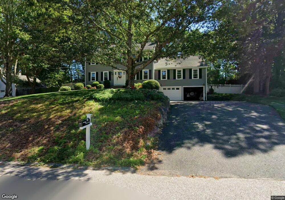
132 Virginia Ave Attleboro Falls, MA 02763
North Attleboro NeighborhoodEstimated Value: $615,000 - $813,000
4
Beds
3
Baths
2,448
Sq Ft
$304/Sq Ft
Est. Value
About This Home
This home is located at 132 Virginia Ave, Attleboro Falls, MA 02763 and is currently estimated at $744,203, approximately $304 per square foot. 132 Virginia Ave is a home located in Bristol County with nearby schools including North Attleboro High School, St John The Evangelist School, and Bishop Feehan High School.
Ownership History
Date
Name
Owned For
Owner Type
Purchase Details
Closed on
Jun 3, 2016
Sold by
Desantis William J and Desantis Cynthia J
Bought by
Cynthia J Desantis Ft
Current Estimated Value
Purchase Details
Closed on
Jan 1, 1986
Bought by
Desantis William J and Desantis Cynthia
Create a Home Valuation Report for This Property
The Home Valuation Report is an in-depth analysis detailing your home's value as well as a comparison with similar homes in the area
Home Values in the Area
Average Home Value in this Area
Purchase History
| Date | Buyer | Sale Price | Title Company |
|---|---|---|---|
| Cynthia J Desantis Ft | -- | -- | |
| Desantis William J | -- | -- |
Source: Public Records
Mortgage History
| Date | Status | Borrower | Loan Amount |
|---|---|---|---|
| Previous Owner | Desantis William J | $35,000 | |
| Previous Owner | Desantis William J | $30,000 | |
| Previous Owner | Desantis William J | $90,000 | |
| Previous Owner | Desantis William J | $74,000 |
Source: Public Records
Tax History Compared to Growth
Tax History
| Year | Tax Paid | Tax Assessment Tax Assessment Total Assessment is a certain percentage of the fair market value that is determined by local assessors to be the total taxable value of land and additions on the property. | Land | Improvement |
|---|---|---|---|---|
| 2025 | $7,879 | $668,300 | $155,700 | $512,600 |
| 2024 | $7,923 | $686,600 | $162,200 | $524,400 |
| 2023 | $7,286 | $569,700 | $162,200 | $407,500 |
| 2022 | $7,001 | $502,600 | $168,700 | $333,900 |
| 2021 | $7,530 | $527,700 | $168,700 | $359,000 |
| 2020 | $7,429 | $517,700 | $168,700 | $349,000 |
| 2019 | $7,449 | $523,100 | $153,400 | $369,700 |
| 2018 | $6,771 | $507,600 | $159,300 | $348,300 |
| 2017 | $6,710 | $507,600 | $159,300 | $348,300 |
| 2016 | $5,764 | $436,000 | $183,400 | $252,600 |
| 2015 | $5,540 | $421,600 | $183,400 | $238,200 |
| 2014 | $5,174 | $390,800 | $152,600 | $238,200 |
Source: Public Records
Map
Nearby Homes
- 102 Virginia Ave
- 251 Mount Hope St
- 29 Wamsutta Dr
- 41 Flora Rd
- 50 Benjamin Dr
- 1 Diamond St
- 0 Woodside Ave
- 417 Mount Hope St
- 47 Glenfield Rd
- 30 Juniper Rd Unit 37
- 49 Jackson St
- 24 S Bulfinch St Unit 202
- 31 Walnut Rd
- 47 Juniper Rd Unit F9
- 158 Ivy St
- 74 West St Unit 18
- 60 West St
- 18 Quincy Way
- 121 E Washington St Unit 13
- 121 E Washington St Unit 11
- 142 Virginia Ave
- 122 Virginia Ave
- 115 John Rezza Dr
- 105 John Rezza Dr
- 111 Virginia Ave
- 193 John Rezza Dr
- 101 Virginia Ave
- 125 John Rezza Dr
- 152 Virginia Ave
- 121 Virginia Ave
- 112 Virginia Ave
- 95 John Rezza Dr
- 1 Connie Ln
- 91 Virginia Ave
- 135 John Rezza Dr
- 100 John Rezza Dr
- 162 Virginia Ave
- 85 John Rezza Dr
- 110 John Rezza Dr
- 120 John Rezza Dr