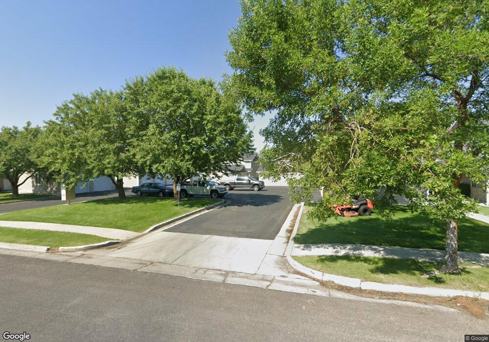
132 W 1320 S Logan, UT 84321
Woodruff NeighborhoodEstimated Value: $258,000 - $267,000
2
Beds
2
Baths
1,190
Sq Ft
$219/Sq Ft
Est. Value
About This Home
This home is located at 132 W 1320 S, Logan, UT 84321 and is currently estimated at $260,889, approximately $219 per square foot. 132 W 1320 S is a home located in Cache County with nearby schools including Hillcrest Elementary School, Mount Logan Middle School, and Logan High School.
Ownership History
Date
Name
Owned For
Owner Type
Purchase Details
Closed on
Dec 19, 2014
Sold by
Burtenshaw Kathleen
Bought by
Freestone Steven T and Freestone Alton Todd
Current Estimated Value
Home Financials for this Owner
Home Financials are based on the most recent Mortgage that was taken out on this home.
Original Mortgage
$79,365
Outstanding Balance
$61,680
Interest Rate
4.4%
Mortgage Type
FHA
Estimated Equity
$199,209
Purchase Details
Closed on
Jun 4, 2013
Sold by
Ju Rockzann
Bought by
Burtenshaw Kathleen
Purchase Details
Closed on
Jun 27, 2008
Sold by
Crookston Alan T
Bought by
Ju Rockzann
Home Financials for this Owner
Home Financials are based on the most recent Mortgage that was taken out on this home.
Original Mortgage
$68,390
Interest Rate
5.99%
Mortgage Type
New Conventional
Purchase Details
Closed on
Aug 17, 2006
Sold by
Barclay Matthew W and Barclay Virginia J
Bought by
Crookston Alan T
Home Financials for this Owner
Home Financials are based on the most recent Mortgage that was taken out on this home.
Original Mortgage
$81,600
Interest Rate
6.37%
Mortgage Type
Adjustable Rate Mortgage/ARM
Create a Home Valuation Report for This Property
The Home Valuation Report is an in-depth analysis detailing your home's value as well as a comparison with similar homes in the area
Home Values in the Area
Average Home Value in this Area
Purchase History
| Date | Buyer | Sale Price | Title Company |
|---|---|---|---|
| Freestone Steven T | -- | American Secure Title | |
| Burtenshaw Kathleen | -- | First Amer West Jordan-Drape | |
| Ju Rockzann | -- | Cache Title Company | |
| Crookston Alan T | -- | Summit Title & Escrow |
Source: Public Records
Mortgage History
| Date | Status | Borrower | Loan Amount |
|---|---|---|---|
| Open | Freestone Steven T | $79,365 | |
| Previous Owner | Ju Rockzann | $68,390 | |
| Previous Owner | Crookston Alan T | $81,600 |
Source: Public Records
Tax History Compared to Growth
Tax History
| Year | Tax Paid | Tax Assessment Tax Assessment Total Assessment is a certain percentage of the fair market value that is determined by local assessors to be the total taxable value of land and additions on the property. | Land | Improvement |
|---|---|---|---|---|
| 2025 | $1,078 | $139,435 | $0 | $0 |
| 2024 | $1,148 | $143,745 | $0 | $0 |
| 2023 | $1,233 | $152,120 | $0 | $0 |
| 2022 | $1,431 | $159,500 | $0 | $0 |
| 2021 | $1,155 | $198,890 | $50,000 | $148,890 |
| 2020 | $997 | $154,600 | $30,000 | $124,600 |
| 2019 | $925 | $137,272 | $30,000 | $107,272 |
| 2018 | $910 | $123,280 | $30,000 | $93,280 |
| 2017 | $805 | $57,640 | $0 | $0 |
| 2016 | $835 | $47,905 | $0 | $0 |
| 2015 | $692 | $47,745 | $0 | $0 |
| 2014 | $626 | $47,745 | $0 | $0 |
| 2013 | -- | $47,745 | $0 | $0 |
Source: Public Records
Map
Nearby Homes
- 130 W 1260 S
- 168 W 1275 S
- 268 W 1030 S
- 593 W 300 S
- 475 W 60 S Unit L304
- 238 W 1010 S Unit 43
- 460 W 15 S Unit G202
- 470 W 15 S Unit F301
- 460 W 15 S Unit G201
- 460 W 15 S Unit G301
- 273 W 1010 S
- 265 W 1010 S
- 233 W 1010 S
- 462 W 40 S Unit 202
- 427 W 65 S
- 426 W 15 S
- 866 Riverwood Dr
- 287 S 375 W
- 476 Cobblestone
- 439 Meadow Ln