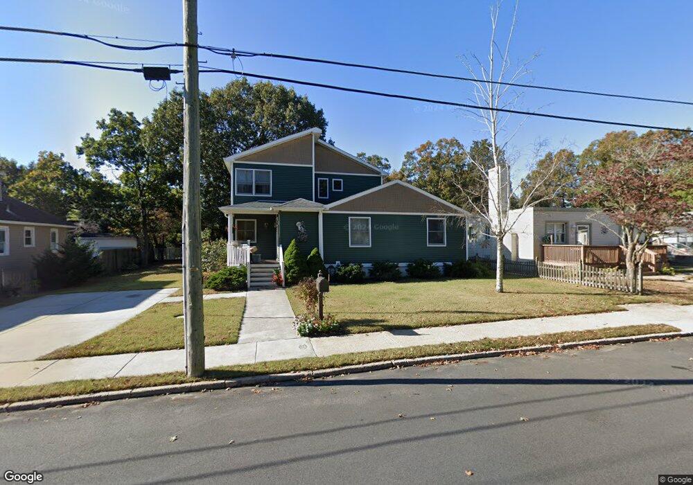
132 W Johnson Ave Somers Point, NJ 08244
Estimated Value: $352,000 - $468,000
--
Bed
--
Bath
1,746
Sq Ft
$243/Sq Ft
Est. Value
About This Home
This home is located at 132 W Johnson Ave, Somers Point, NJ 08244 and is currently estimated at $425,055, approximately $243 per square foot. 132 W Johnson Ave is a home located in Atlantic County with nearby schools including Mainland Regional High School, ChARTer TECH High School for the Performing Arts, and Saint Joseph Regional School.
Ownership History
Date
Name
Owned For
Owner Type
Purchase Details
Closed on
Oct 10, 2003
Sold by
Garrett Thomas D and Garrett Nancy P
Bought by
Garrett Thomas D and Garrett Nancy P
Current Estimated Value
Purchase Details
Closed on
Oct 15, 1999
Sold by
Moss Irwim
Bought by
Garrett Thomas D and Garrett Nancy P
Purchase Details
Closed on
Dec 20, 1989
Sold by
Arabia John and Arabia Barbara
Bought by
Garrett Thomas D and Garrett Nancy P
Create a Home Valuation Report for This Property
The Home Valuation Report is an in-depth analysis detailing your home's value as well as a comparison with similar homes in the area
Home Values in the Area
Average Home Value in this Area
Purchase History
| Date | Buyer | Sale Price | Title Company |
|---|---|---|---|
| Garrett Thomas D | -- | -- | |
| Garrett Thomas D | $18,500 | The Title Company | |
| Garrett Thomas D | $87,000 | -- |
Source: Public Records
Tax History Compared to Growth
Tax History
| Year | Tax Paid | Tax Assessment Tax Assessment Total Assessment is a certain percentage of the fair market value that is determined by local assessors to be the total taxable value of land and additions on the property. | Land | Improvement |
|---|---|---|---|---|
| 2025 | $8,604 | $240,600 | $68,000 | $172,600 |
| 2024 | $8,604 | $240,600 | $68,000 | $172,600 |
| 2023 | $8,038 | $240,600 | $68,000 | $172,600 |
| 2022 | $8,038 | $240,600 | $68,000 | $172,600 |
| 2021 | $7,918 | $240,600 | $68,000 | $172,600 |
| 2020 | $7,757 | $240,600 | $68,000 | $172,600 |
| 2019 | $7,538 | $240,600 | $68,000 | $172,600 |
| 2018 | $7,379 | $240,600 | $68,000 | $172,600 |
| 2017 | $7,115 | $240,600 | $68,000 | $172,600 |
| 2016 | $6,792 | $240,600 | $68,000 | $172,600 |
| 2015 | $6,722 | $240,600 | $68,000 | $172,600 |
| 2014 | $6,496 | $240,600 | $68,000 | $172,600 |
Source: Public Records
Map
Nearby Homes
- 137 W Johnson Ave
- 1102 Jesse Dr
- 2102 Angelina Ln
- 25 W Pierson Ave
- 421 Shore Rd
- 226 Bethel Rd
- 33 W Meyran Ave
- 29 E Pierson Ave
- 101 E Johnson Ave
- 109 E Cedar Ave
- 112 E Pierson Ave
- 114 E Pierson Ave
- 123 E Cedar Ave
- 426 7th St
- 223 W Wilmont Ave
- 116 W Ocean Ave
- 301 Bliss Ave
- 303 Garden Terrace
- 206 Philadelphia Ave
- 98 New Rd
- 134 W Johnson Ave
- 130 W Johnson Ave
- 127 W Cedar Ave
- 138 W Johnson Ave
- 125 W Cedar Ave
- 122 W Johnson Ave
- 129 W Cedar Ave
- 123 W Cedar Ave
- 125 W Johnson Ave
- 140 W Johnson Ave
- 147 W Johnson Ave
- 117 W Johnson Ave
- 121 W Cedar Ave
- 151 W Johnson Ave
- 162 W Johnson Ave
- 110 W Johnson Ave
- 335 1st St
- 155 W Johnson Ave
- 115 W Johnson Ave
- 408 Bethel Rd Unit D2