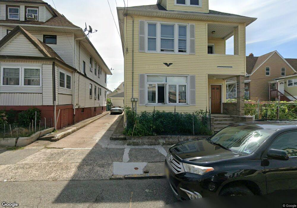
132 Walnut St Unit 134 Paterson, NJ 07522
Totowa Section NeighborhoodEstimated Value: $608,000 - $816,000
--
Bed
--
Bath
3,245
Sq Ft
$218/Sq Ft
Est. Value
About This Home
This home is located at 132 Walnut St Unit 134, Paterson, NJ 07522 and is currently estimated at $707,259, approximately $217 per square foot. 132 Walnut St Unit 134 is a home located in Passaic County with nearby schools including Dale Avenue Elementary School, Edward W. Kilpatrick School of Discovery, and Paterson Public School No. 5.
Ownership History
Date
Name
Owned For
Owner Type
Purchase Details
Closed on
May 27, 2022
Sold by
Carmen Cuevas
Bought by
Uddin Babul and Begum Ruhena
Current Estimated Value
Home Financials for this Owner
Home Financials are based on the most recent Mortgage that was taken out on this home.
Original Mortgage
$353,000
Outstanding Balance
$334,888
Interest Rate
5.1%
Mortgage Type
New Conventional
Estimated Equity
$372,371
Create a Home Valuation Report for This Property
The Home Valuation Report is an in-depth analysis detailing your home's value as well as a comparison with similar homes in the area
Home Values in the Area
Average Home Value in this Area
Purchase History
| Date | Buyer | Sale Price | Title Company |
|---|---|---|---|
| Uddin Babul | $540,000 | Westcor Land Title | |
| Uddin Babul | $540,000 | Westcor Land Title |
Source: Public Records
Mortgage History
| Date | Status | Borrower | Loan Amount |
|---|---|---|---|
| Open | Uddin Babul | $353,000 | |
| Closed | Uddin Babul | $353,000 |
Source: Public Records
Tax History Compared to Growth
Tax History
| Year | Tax Paid | Tax Assessment Tax Assessment Total Assessment is a certain percentage of the fair market value that is determined by local assessors to be the total taxable value of land and additions on the property. | Land | Improvement |
|---|---|---|---|---|
| 2025 | $13,425 | $263,500 | $50,500 | $213,000 |
| 2024 | $12,919 | $263,500 | $50,500 | $213,000 |
| 2022 | $12,232 | $263,500 | $50,500 | $213,000 |
| 2021 | $11,794 | $263,500 | $50,500 | $213,000 |
| 2020 | $11,001 | $263,500 | $50,500 | $213,000 |
| 2019 | $10,550 | $255,200 | $47,200 | $208,000 |
| 2018 | $10,880 | $251,500 | $46,800 | $204,700 |
| 2017 | $10,383 | $249,600 | $46,500 | $203,100 |
| 2016 | $11,433 | $263,500 | $48,900 | $214,600 |
| 2015 | $10,825 | $263,500 | $48,900 | $214,600 |
| 2014 | $8,100 | $279,300 | $116,300 | $163,000 |
Source: Public Records
Map
Nearby Homes
- 72-74 Maple St
- 63 Front St
- 288 Totowa Ave
- 241 Liberty St
- 371 Totowa Ave Unit 373
- 25-27 Rossiter Ave
- 25 Rossiter Ave Unit 27
- 195 Preakness Ave
- 194-196 Union Ave
- 53-55 Henderson St
- 53 Henderson St Unit 55
- 27-29 Hoxey St Unit 1
- 94 Manchester Ave
- 58-60 Murray Ave
- 41-43 Paterson Ave
- 98 Murray Ave
- 115 Caldwell Ave
- 3 Barnes St
- 249 Edmund Ave
- 95-97 Caldwell Ave
- 132-134 Walnut St
- 134 Walnut St
- 130 Walnut St Unit 132
- 136 Walnut St Unit 138
- 140 Walnut St
- 96 Preakness Ave
- 73 Maple St Unit 75
- 142 Walnut St
- 94 Preakness Ave
- 131 Walnut St Unit 133
- 69 Maple St Unit 71
- 92 Preakness Ave
- 90 Preakness Ave
- 129 Walnut St Unit 131
- 135 Walnut St Unit 137
- 77 Maple St Unit 79
- 137 Walnut St
- 137 Walnut St Unit 139
- 86 Preakness Ave Unit 88
- 144 Walnut St Unit 146