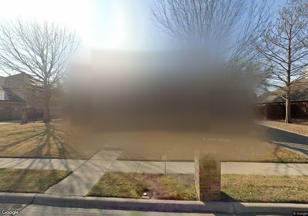
132 Westwood Dr Murphy, TX 75094
Estimated Value: $518,924 - $569,000
--
Bed
--
Bath
2,909
Sq Ft
$189/Sq Ft
Est. Value
About This Home
This home is located at 132 Westwood Dr, Murphy, TX 75094 and is currently estimated at $551,231, approximately $189 per square foot. 132 Westwood Dr is a home located in Collin County with nearby schools including Miller Elementary School, Murphy Middle School, and C A Mcmillen High School.
Ownership History
Date
Name
Owned For
Owner Type
Purchase Details
Closed on
Aug 28, 2003
Sold by
Goodman Family Of Builders Lp
Bought by
Cox Michael L and Cox Galynn
Current Estimated Value
Home Financials for this Owner
Home Financials are based on the most recent Mortgage that was taken out on this home.
Original Mortgage
$100,000
Outstanding Balance
$44,464
Interest Rate
5.87%
Mortgage Type
Purchase Money Mortgage
Estimated Equity
$506,767
Purchase Details
Closed on
Mar 5, 2003
Sold by
Lot Lines Ltd
Bought by
Goodman Family Of Builders Lp
Create a Home Valuation Report for This Property
The Home Valuation Report is an in-depth analysis detailing your home's value as well as a comparison with similar homes in the area
Home Values in the Area
Average Home Value in this Area
Purchase History
| Date | Buyer | Sale Price | Title Company |
|---|---|---|---|
| Cox Michael L | -- | -- | |
| Goodman Family Of Builders Lp | -- | -- |
Source: Public Records
Mortgage History
| Date | Status | Borrower | Loan Amount |
|---|---|---|---|
| Open | Cox Michael L | $100,000 | |
| Closed | Cox Michael L | $43,250 |
Source: Public Records
Tax History Compared to Growth
Tax History
| Year | Tax Paid | Tax Assessment Tax Assessment Total Assessment is a certain percentage of the fair market value that is determined by local assessors to be the total taxable value of land and additions on the property. | Land | Improvement |
|---|---|---|---|---|
| 2025 | $6,431 | $511,123 | $120,750 | $403,726 |
| 2024 | $6,431 | $464,657 | $120,750 | $412,948 |
| 2023 | $6,431 | $422,415 | $120,750 | $364,587 |
| 2022 | $7,521 | $384,014 | $105,000 | $333,727 |
| 2021 | $7,209 | $349,104 | $84,000 | $265,104 |
| 2020 | $7,261 | $347,671 | $73,500 | $274,171 |
| 2019 | $7,764 | $354,340 | $73,500 | $280,840 |
| 2018 | $7,251 | $327,958 | $73,500 | $281,649 |
| 2017 | $6,592 | $316,774 | $73,500 | $243,274 |
| 2016 | $6,068 | $309,038 | $63,000 | $246,038 |
| 2015 | $4,942 | $270,476 | $47,250 | $223,226 |
Source: Public Records
Map
Nearby Homes
- 524 Jasmine Dr
- 248 Mimosa Dr
- 3309 Grantham Dr
- 237 Mimosa Dr
- 3203 Grantham Dr
- 202 Sweetgum Dr
- 602 Horizon Dr
- 179 Moonlight Dr
- 3624 Connaught Rd
- 465 Kinney Dr
- 5413 Carrington Dr
- 5421 Palace Dr
- 5517 Enfield Dr
- 403 Pleasant Run
- 3613 Gloucester Rd
- 2603 Grant Dr
- 813 Burgess Ln
- 402 S Maxwell Creek Rd
- Lot#1 S Maxwell Creek Rd
- LOT#2 S Maxwell Creek Rd
- 136 Westwood Dr
- 128 Westwood Dr
- 140 Westwood Dr
- 124 Westwood Dr
- 135 Westwood Dr
- 131 Westwood Dr
- 127 Westwood Dr
- 139 Westwood Dr
- 144 Westwood Dr
- 538 Hackberry Dr
- 120 Westwood Dr
- 143 Westwood Dr
- 108 Starlite Dr
- 110 Starlite Dr
- 534 Hackberry Dr
- 106 Starlite Dr
- 147 Westwood Dr
- 112 Starlite Dr
- 144 Oakbluff Dr
- 140 Oakbluff Dr