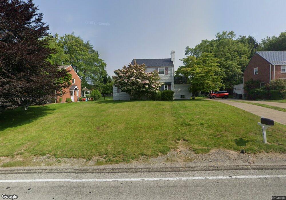
132 Wetzel Rd Glenshaw, PA 15116
Shaler Township NeighborhoodEstimated Value: $237,000 - $276,000
3
Beds
2
Baths
1,523
Sq Ft
$170/Sq Ft
Est. Value
About This Home
This home is located at 132 Wetzel Rd, Glenshaw, PA 15116 and is currently estimated at $259,174, approximately $170 per square foot. 132 Wetzel Rd is a home located in Allegheny County with nearby schools including Shaler Area Elementary School, Scott Primary School, and Shaler Area Middle School.
Ownership History
Date
Name
Owned For
Owner Type
Purchase Details
Closed on
Mar 5, 2021
Sold by
Kobus Joseph J and Kobus Winifred S
Bought by
Giel Joseph John
Current Estimated Value
Home Financials for this Owner
Home Financials are based on the most recent Mortgage that was taken out on this home.
Original Mortgage
$150,000
Outstanding Balance
$134,533
Interest Rate
2.73%
Mortgage Type
New Conventional
Estimated Equity
$124,641
Purchase Details
Closed on
Jul 15, 1968
Bought by
Kobus Joseph J and Kobus Winifred S
Create a Home Valuation Report for This Property
The Home Valuation Report is an in-depth analysis detailing your home's value as well as a comparison with similar homes in the area
Home Values in the Area
Average Home Value in this Area
Purchase History
| Date | Buyer | Sale Price | Title Company |
|---|---|---|---|
| Giel Joseph John | $180,000 | -- | |
| Giel Joseph John | $180,000 | None Available | |
| Kobus Joseph J | -- | -- |
Source: Public Records
Mortgage History
| Date | Status | Borrower | Loan Amount |
|---|---|---|---|
| Open | Giel Joseph John | $150,000 |
Source: Public Records
Tax History Compared to Growth
Tax History
| Year | Tax Paid | Tax Assessment Tax Assessment Total Assessment is a certain percentage of the fair market value that is determined by local assessors to be the total taxable value of land and additions on the property. | Land | Improvement |
|---|---|---|---|---|
| 2025 | $4,004 | $103,600 | $43,000 | $60,600 |
| 2024 | $4,004 | $121,600 | $43,000 | $78,600 |
| 2023 | $3,861 | $121,600 | $43,000 | $78,600 |
| 2022 | $3,861 | $121,600 | $43,000 | $78,600 |
| 2021 | $3,289 | $103,600 | $43,000 | $60,600 |
| 2020 | $3,289 | $103,600 | $43,000 | $60,600 |
| 2019 | $3,186 | $103,600 | $43,000 | $60,600 |
| 2018 | $490 | $103,600 | $43,000 | $60,600 |
| 2017 | $2,844 | $95,500 | $43,000 | $52,500 |
| 2016 | $452 | $95,500 | $43,000 | $52,500 |
| 2015 | $452 | $95,500 | $43,000 | $52,500 |
| 2014 | $2,727 | $95,500 | $43,000 | $52,500 |
Source: Public Records
Map
Nearby Homes
- 1826 President Dr
- 1403 N Spring St
- 111 Barbour Dr
- 0 Pennsylvania Ave
- 249 Maryland Dr
- 453 Marzolf Rd
- 101 E Genessee St
- 530 Glenhaven Dr
- 109 E Undercliff Ave
- 901 Alexander St
- 130 Gerard Dr
- 125 Spencer Ln
- 133 Sunset Ln
- 2307 Mount Royal Blvd
- 1638 Anderson Rd
- 815 Rosemont Ave
- 661 Edgecliff Ave
- 2501 Oakwood Rd
- 102 Crest Ln
- 2605 Mount Royal Blvd