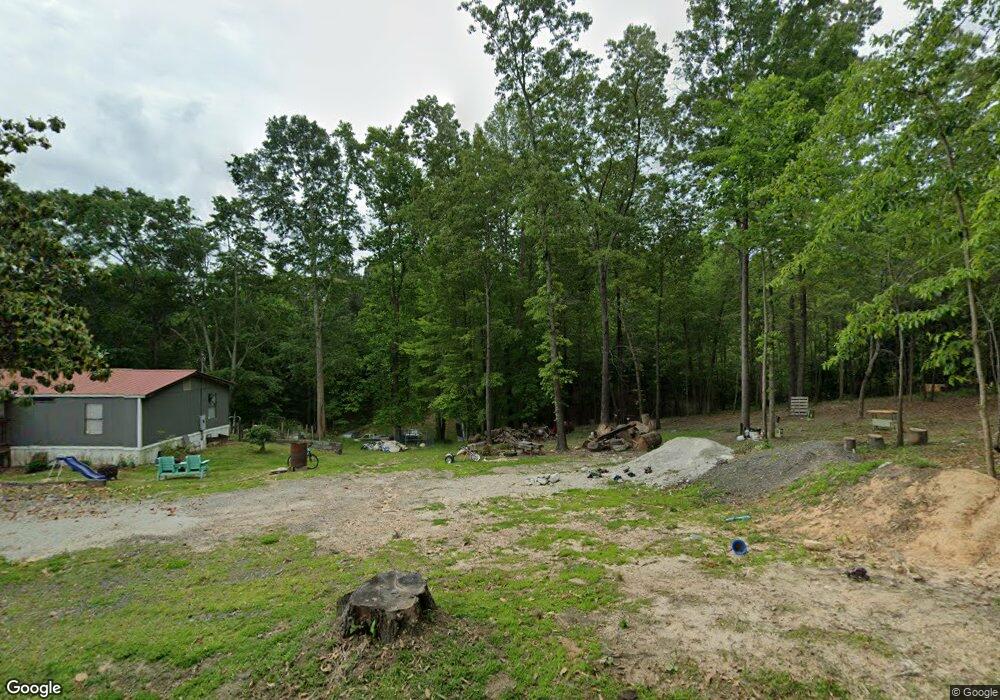
132 Whisenant St Toccoa, GA 30577
Estimated Value: $158,000 - $200,000
--
Bed
--
Bath
--
Sq Ft
1.05
Acres
About This Home
This home is located at 132 Whisenant St, Toccoa, GA 30577 and is currently estimated at $178,000. 132 Whisenant St is a home located in Stephens County with nearby schools including Stephens County High School.
Ownership History
Date
Name
Owned For
Owner Type
Purchase Details
Closed on
May 1, 2012
Sold by
Hicks Dene M
Bought by
Taylor John Daniel
Current Estimated Value
Purchase Details
Closed on
Oct 5, 2005
Sold by
Martin Leonard R
Bought by
Martin Richard Shawn
Purchase Details
Closed on
Apr 5, 1999
Sold by
Martin Patsy L F and Martin K
Bought by
Martin Leonard R
Purchase Details
Closed on
Mar 4, 1994
Sold by
Jamison Patsy A F and Jamison K
Bought by
Crunkleton Connie A
Purchase Details
Closed on
Jul 24, 1980
Sold by
Jamison Roy G
Bought by
Jamison Patsy L
Purchase Details
Closed on
Sep 11, 1970
Sold by
Youngblood Edith K and Youngblood Dwaine
Bought by
Jamison Roy G
Purchase Details
Closed on
Dec 21, 1963
Sold by
Chastain Rex
Bought by
Youngblood Edith K and Youngblood Dwaine
Purchase Details
Closed on
Mar 11, 1958
Sold by
Bennett Fred
Bought by
Chastain Rex
Purchase Details
Closed on
Sep 17, 1945
Sold by
Smith B L
Bought by
Bennett Fred
Create a Home Valuation Report for This Property
The Home Valuation Report is an in-depth analysis detailing your home's value as well as a comparison with similar homes in the area
Home Values in the Area
Average Home Value in this Area
Purchase History
| Date | Buyer | Sale Price | Title Company |
|---|---|---|---|
| Taylor John Daniel | $886 | -- | |
| Martin Richard Shawn | $13,000 | -- | |
| Martin Leonard R | $13,000 | -- | |
| Martin Patsy F | -- | -- | |
| Crunkleton Connie A | -- | -- | |
| Jamison Patsy L | -- | -- | |
| Jamison Roy G | -- | -- | |
| Youngblood Edith K | -- | -- | |
| Chastain Rex | -- | -- | |
| Bennett Fred | $2,100 | -- |
Source: Public Records
Tax History Compared to Growth
Tax History
| Year | Tax Paid | Tax Assessment Tax Assessment Total Assessment is a certain percentage of the fair market value that is determined by local assessors to be the total taxable value of land and additions on the property. | Land | Improvement |
|---|---|---|---|---|
| 2024 | $122 | $4,017 | $4,017 | $0 |
| 2023 | $122 | $4,017 | $4,017 | $0 |
| 2022 | $120 | $4,017 | $4,017 | $0 |
| 2021 | $126 | $4,017 | $4,017 | $0 |
| 2020 | $127 | $4,017 | $4,017 | $0 |
| 2019 | $127 | $4,017 | $4,017 | $0 |
| 2018 | $127 | $4,017 | $4,017 | $0 |
| 2017 | $0 | $4,017 | $4,017 | $0 |
| 2013 | -- | $0 | $0 | $0 |
Source: Public Records
Map
Nearby Homes